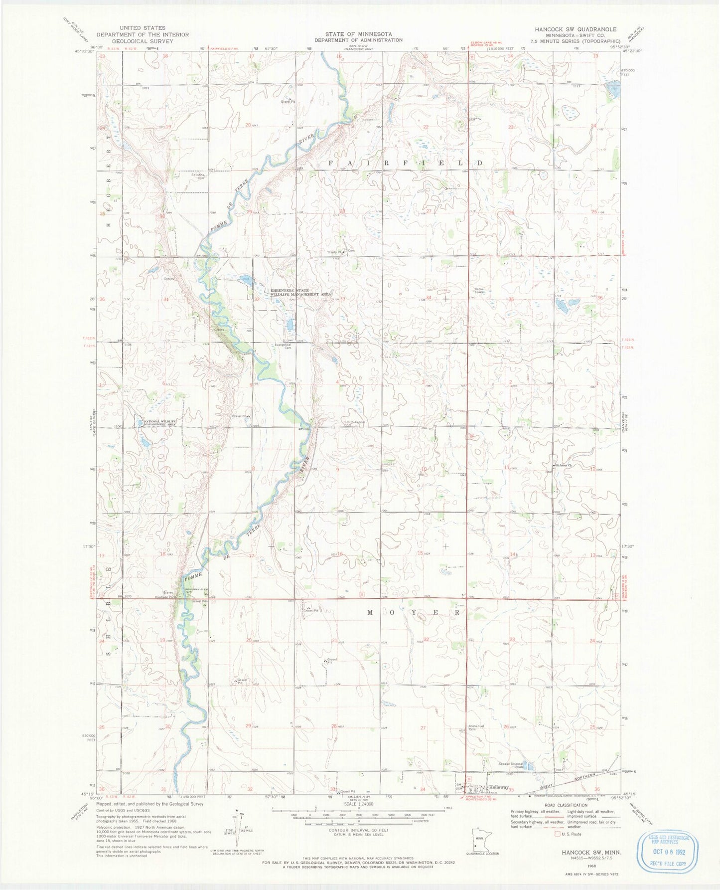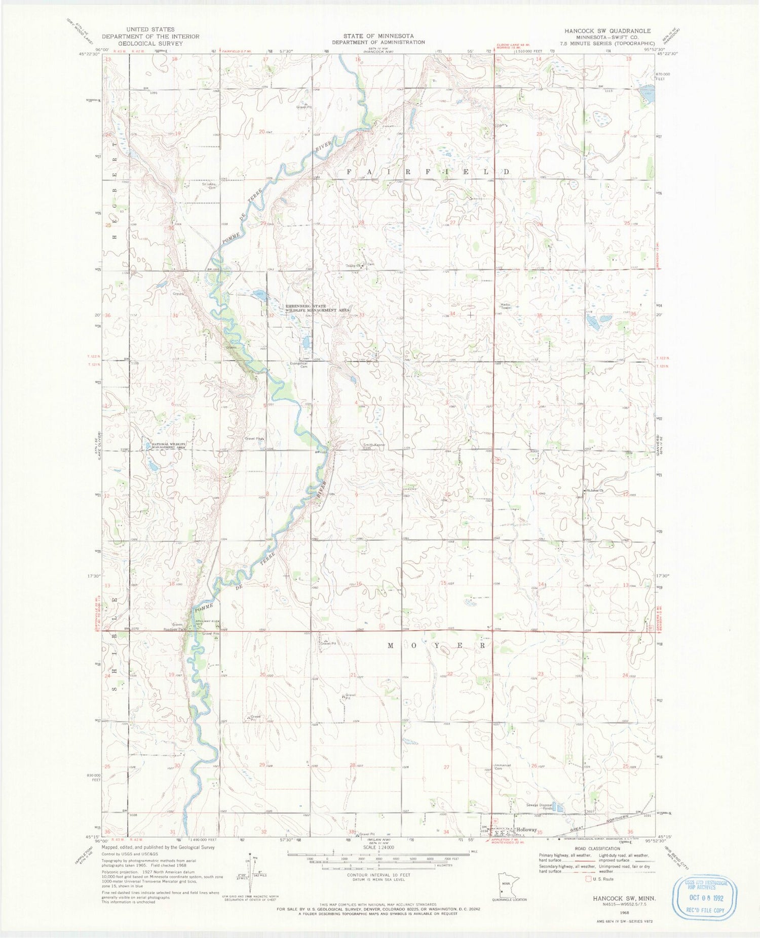
MyTopo
Classic USGS Hancock SW Minnesota 7.5'x7.5' Topo Map
Couldn't load pickup availability
Historical USGS topographic quad map of Hancock SW in the state of Minnesota. Map scale may vary for some years, but is generally around 1:24,000. Print size is approximately 24" x 27"
This quadrangle is in the following counties: Swift.
The map contains contour lines, roads, rivers, towns, and lakes. Printed on high-quality waterproof paper with UV fade-resistant inks, and shipped rolled.
Contains the following named places: Berthold Koosmann Dam, Ehrenberg State Wildlife Management Area, Evangelical Cemetery, Frank Schlieman Dam, Immanuel Cemetery, Koosmann Farms, Marquardt Dam, Pomme De Terre Rest Area, Saint Johns Cemetery, Saint John's Cemetery, Saint Johns Church, Smith-Kepner Cemetery, Township of Fairfield, Township of Moyer, Trinity Cemetery, Trinity Church, ZIP Code: 56249