MyTopo
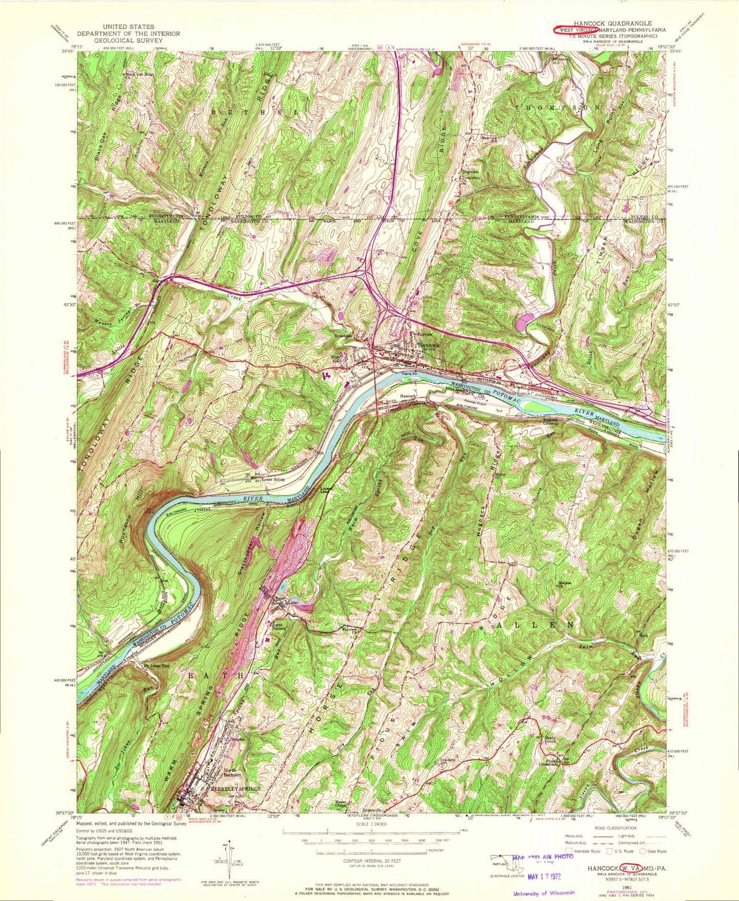
Classic USGS Hancock Maryland 7.5'x7.5' Topo Map
Couldn't load pickup availability
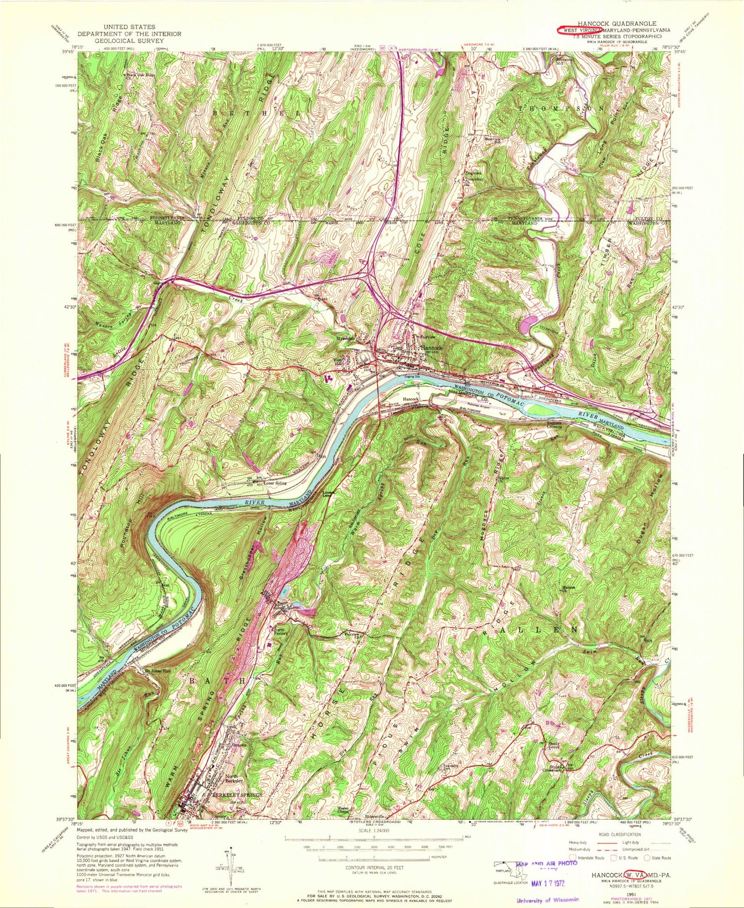
Historical USGS topographic quad map of Hancock in the states of Maryland, West Virginia, Pennsylvania. Typical map scale is 1:24,000, but may vary for certain years, if available. Print size: 24" x 27"
This quadrangle is in the following counties: Fulton, Morgan, Washington.
The map contains contour lines, roads, rivers, towns, and lakes. Printed on high-quality waterproof paper with UV fade-resistant inks, and shipped rolled.
Contains the following named places: Ditch Run, Hancock, Little Tonoloway Creek, Loner Siding, Minnow Run, Munson Spring Branch, Tonoloway Creek, Blue Hill, Fairview, Myersdale, Roundtop Hill, Hancock Sewage Lagoon Dam, Hancock Sewage Lagoon, Minnow Run, Tonoloway Creek, Church of the Nazarene, Cohill Estates, Full Gospel Assembly of God Church, Grace Presbyterian Church, Hancock Church of God, Hancock Elementary School, Hancock High School, Hancock Middle High School, Hancock Post Office, Hancock Town Hall, Hancock United Methodist Church, Hancock War Memorial Library, Kirk Woods, Little Tonoloway Campground, Little Tonoloway Picnic Area, Lock 51, Lock 52, Lock 53, Saint Thomas Riverview Cemetery, Saint Peters Catholic Church, Saint Peters Roman Catholic Church Cemetery, Saint Thomas Episcopal Church, Saint Thomas Episcopal Church Graveyard, Stanley, Timber Ridge Heights, Tonoloway Creek Aqueduct, Trinity Full Gospel Church, Widmyer Park, District 5 Hancock, Round Top State Natural Heritage Park, Fort Tonoloy State Park, Hancock Volunteer Fire Company 5, Hancock Ambulance and Rescue Squad Company 59, Hancock Police Department, Town of Hancock, Hancock Rescue Squad Company 59, Alpine United Methodist Church, Dry Run, Fairview Church, Friendship Cemetery, Grasshopper Hollow, Hogback Ridge, Horse Ridge, Lovers Leap, Mahnes Chapel United Methodist Church, Sir Johns Run, Spohrs Crossroads, Stoney Run, Swim Hollow, Swim Run, Warm Spring Run, Wesley United Methodist Church, Shady Grove, Burnt Factory, Hancock, Jimtown, North Berkeley, Redrock Crossing, Sir Johns Run, Bath Town Hall, Berkeley Springs, Berkeley Springs State Park, Church of the Nazarene, First United Methodist Church, Francis Asbury United Methodist Church, Friendship Methodist Church (historical), Grasshopper Run, Hancock Station Spring, Mahnes Cemetery, Morgan County Courthouse, Morgan County Public Library, Mount Zion Cemetery, Mount Zion United Methodist Church, North Berkeley Primary School (historical), Orricks Ferry (historical), Roundtop (historical), Saint Vincent De Paul Catholic Church, Trinity United Methodist Church, Wesleyan Chapel Church, Widmeyer Wildlife Management Area, Alpine Cemetery, War Memorial Hospital, Potomac Airpark, Pennsylvania Glass Sand Dam B, Pennsylvania Glass Sand Dam B Lake, Grasshopper Hollow Lake Dam, Pennsylvania Glass and Sand Corporation Dam, Basin C, Berkeley Springs Post Office, Berkeley Springs, District 3, Warm Springs Intermediate School, Warm Springs Middle School, Berkeley Springs Volunteer Fire Department, Berkeley Springs State Park Museum, Morgan County Sheriff's Office, Bath Police Department, Timber Ridge, Black Oak Ridge Church, Dogtown, Johnsons Mill, Long Point, Plum Run, Sawmill Hollow, Tonoloway Church, Cove Ridge, Little Tonoloway Creek, Mann, Westview School, Tonoloway Primitive Baptist Church Cemetery, Black Oak Mennonite Cemetery


