MyTopo
Classic USGS Hancock Missouri 7.5'x7.5' Topo Map
Couldn't load pickup availability
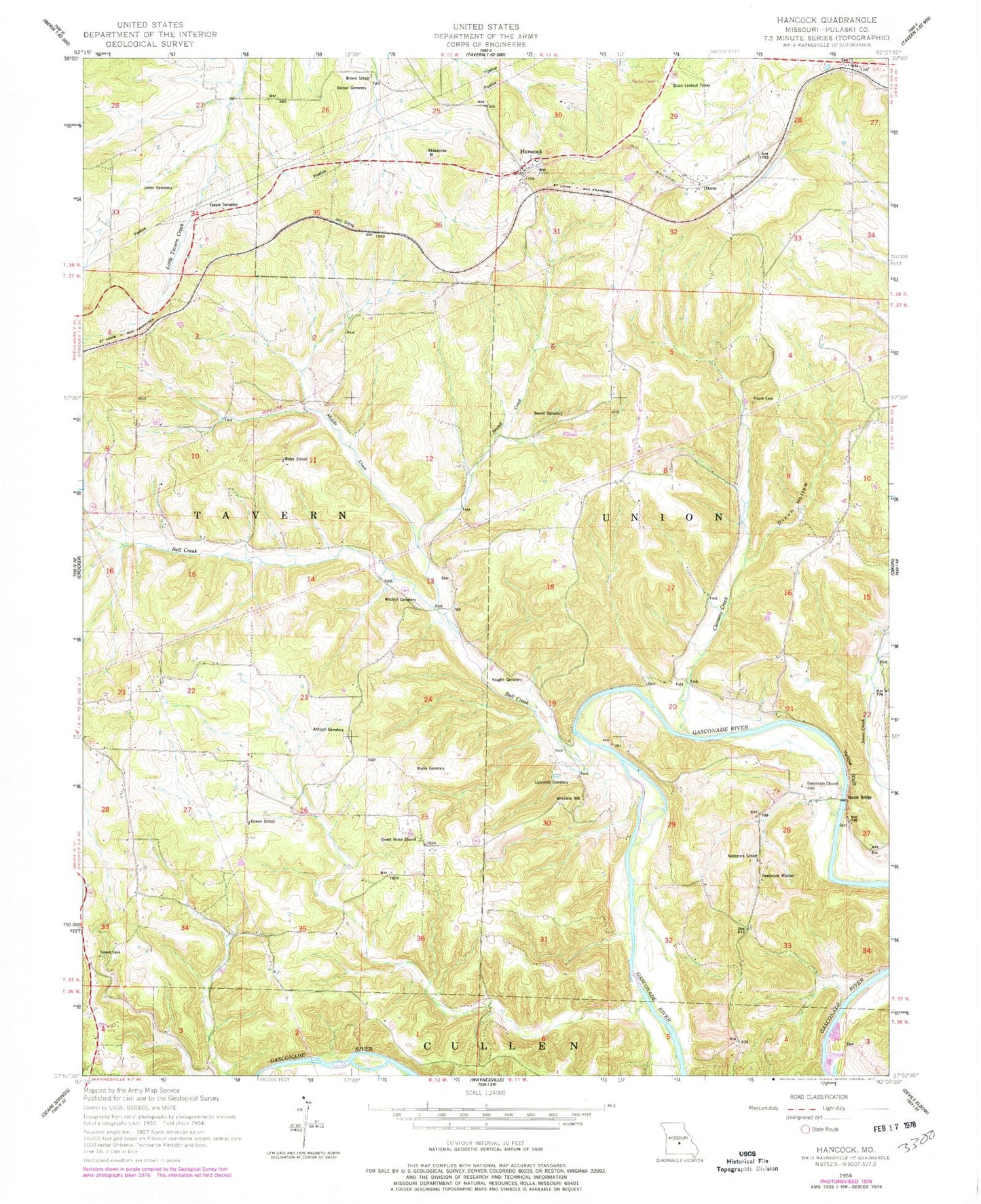
Historical USGS topographic quad map of Hancock in the state of Missouri. Map scale may vary for some years, but is generally around 1:24,000. Print size is approximately 24" x 27"
This quadrangle is in the following counties: Pulaski.
The map contains contour lines, roads, rivers, towns, and lakes. Printed on high-quality waterproof paper with UV fade-resistant inks, and shipped rolled.
Contains the following named places: Antioch Cemetery, Bates School, Bell Creek, Brake Cemetery, Brown School, Clemens Creek, Cowan School, Decker Cemetery, Dixon Hollow, Dixon Lookout Tower, Gasconade Church Cemetery, Hamilton School, Hancock, Helm, Joiner Cemetery, Jury Siding, Lipscomb Cemetery, Middle Creek, Mitchell Chapel Cemetery, Mitchell Church, Mitchell Spring, Needmore Mission, Needmore School, Rhodes Spur, Riddle Bridge, Sewell Cemetery, Sewell Creek, Shady Rest, Sweet Home Church, Sweet Home School, Teeple Cemetery, Underwood Place, Vaughan Cemetery, W E Wilton Dam, W E Wilton Lake, Wheeler Lake, Wheeler Resort, Wheeler Spring, Wheelers Mill, Yellow Bluff, Yellow Bluff Cottages


