MyTopo
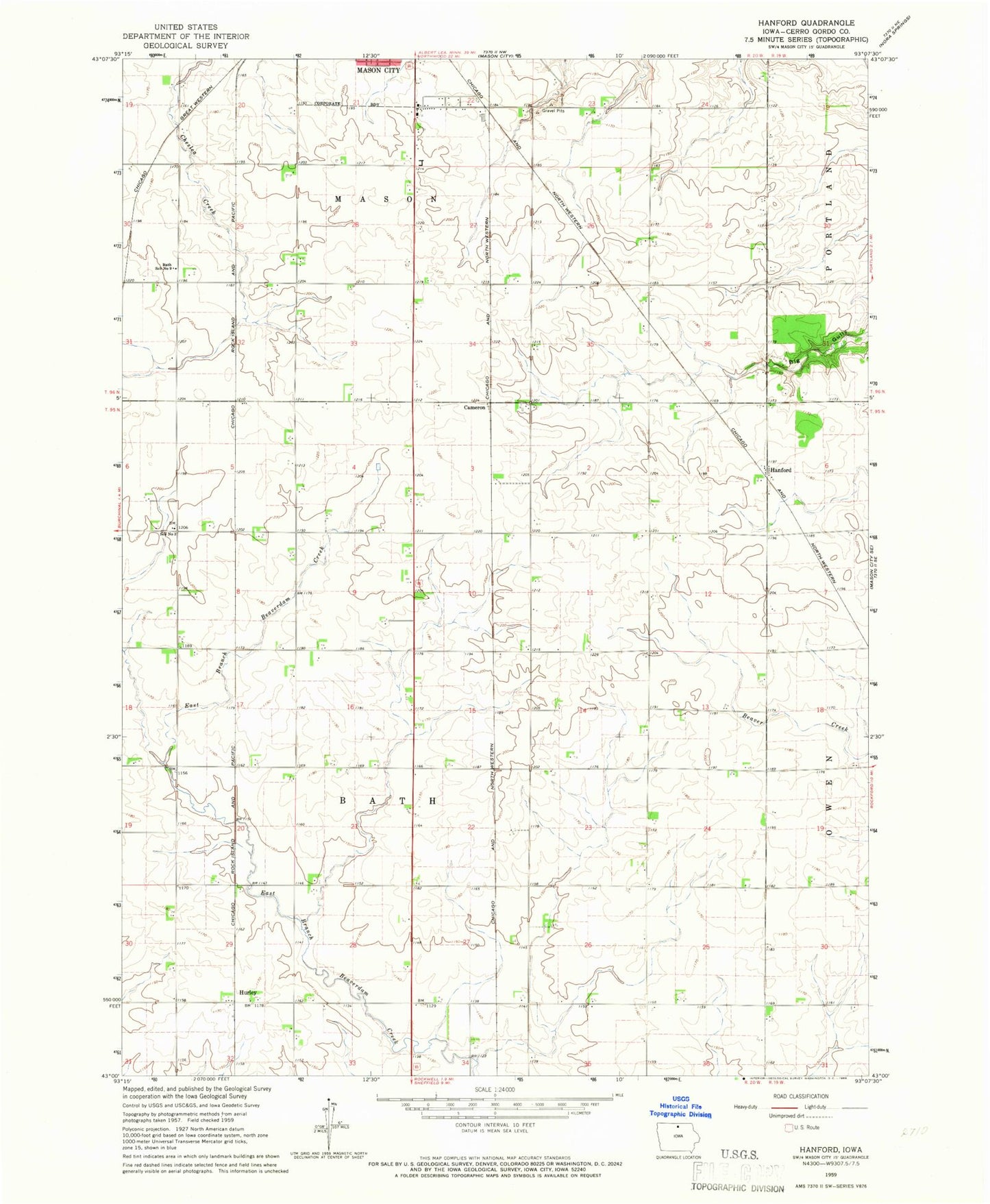
Classic USGS Hanford Iowa 7.5'x7.5' Topo Map
Couldn't load pickup availability
Historical USGS topographic quad map of Hanford in the state of Iowa. Map scale may vary for some years, but is generally around 1:24,000. Print size is approximately 24" x 27"
This quadrangle is in the following counties: Cerro Gordo.
The map contains contour lines, roads, rivers, towns, and lakes. Printed on high-quality waterproof paper with UV fade-resistant inks, and shipped rolled.
Contains the following named places: Bath, Bath Post Office, Bath School Number 9, Blazing Star Prairie, Cameron, Clark Lake, Hanford, Hanford Post Office, Hurley, KCMR-FM (Mason City), Lake Fin-Feather, Lake Fin-Feather Dam, Mason City Junction, Mike Zack Wildlife Area, Portland Quarry, Township of Bath, Township of Mason