MyTopo
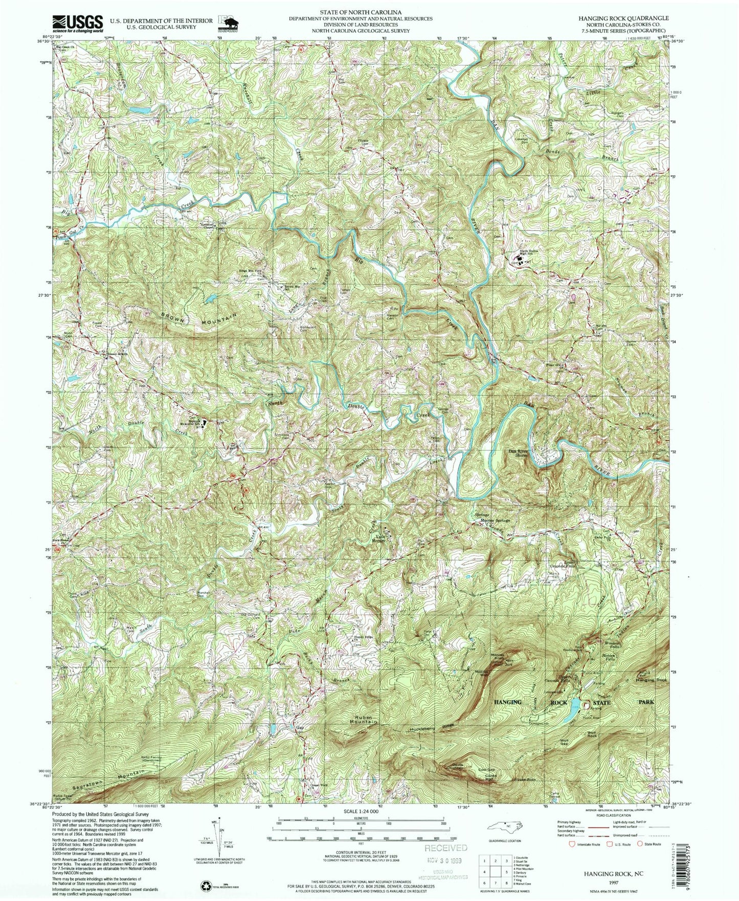
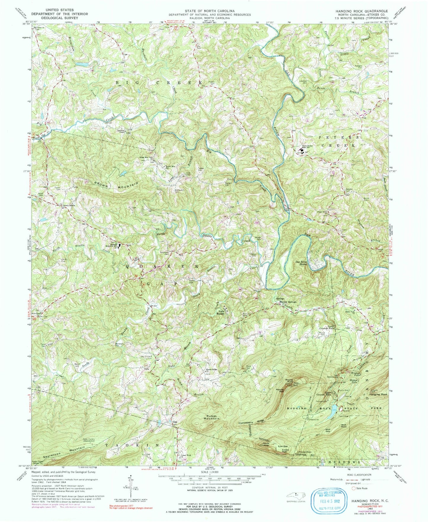
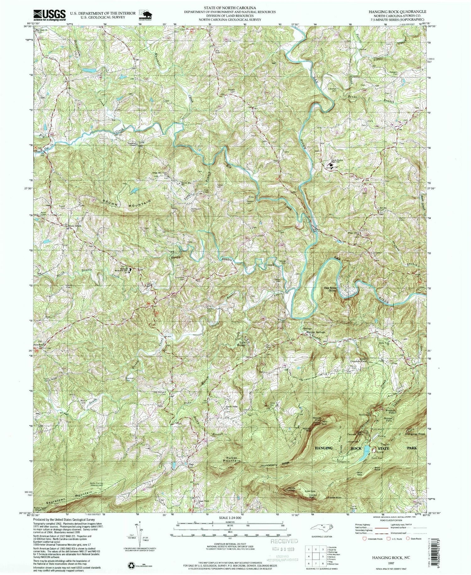
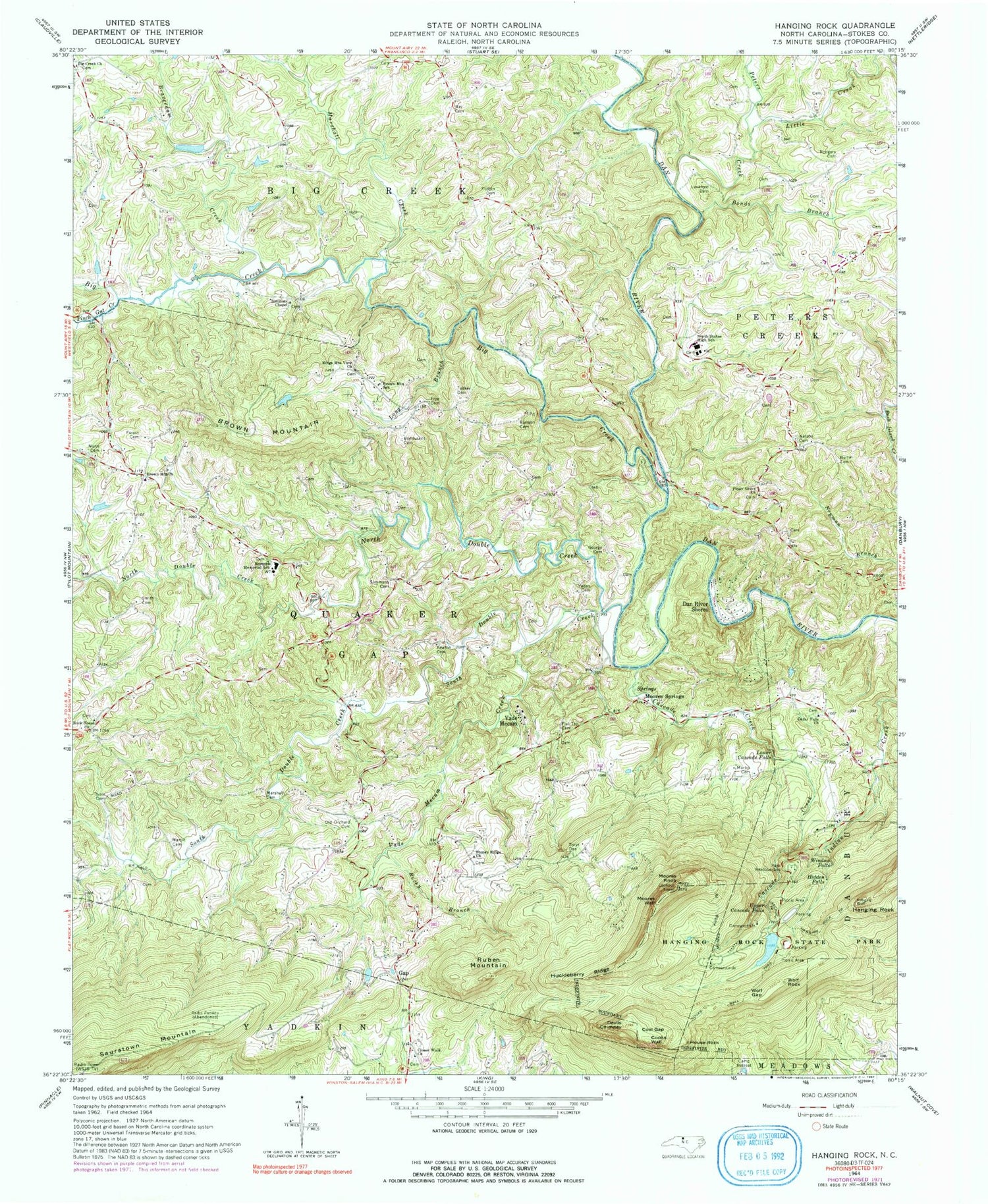
Classic USGS Hanging Rock North Carolina 7.5'x7.5' Topo Map
Couldn't load pickup availability
Historical USGS topographic quad map of Hanging Rock in the state of North Carolina. Typical map scale is 1:24,000, but may vary for certain years, if available. Print size: 24" x 27"
This quadrangle is in the following counties: Stokes.
The map contains contour lines, roads, rivers, towns, and lakes. Printed on high-quality waterproof paper with UV fade-resistant inks, and shipped rolled.
Contains the following named places: Beaverdam Creek, Big Creek, Big Creek Primitive Baptist Church, Bonds Branch, Bondurant Cemetery, Brown Mountain, Brown Mountain Missionary Baptist Church, Brown Mountain School, Bullin Cemetery, Camp Retreat, Cascade Creek, Cascade Trail, Cedar Falls Church, Closer Walk Church, Cooks Wall, Cooks Wall Trail, Cool Gap, Devils Chimney, Flat Top Cemetery, Flippin Cemetery, Forest Cemetery, Frye Cemetery, Gap, George Cemetery, Hanging Rock, Hanging Rock State Park, Hanging Rock Trail, Hidden Falls, Huckleberry Ridge, Keaton Cemetery, Kings Mountain View Church, Lankford Cemetery, Little Creek, Long Branch, Lower Cascade Falls, Marshall Cemetery, Marshall Creek, Martin Cemetery, Martin Cemetery, Moores Knob, Moores Knob Trail, Moores Wall, Hard Bank Cemetery, North Double Creek, North Stokes High School, Nunn Family Cemetery, Old Orchard Cemetery, Peters Creek, Pinch Gut Creek, Piney Grove Primitive Baptist Church, Ray Cemetery, Reynolds Memorial School, Rierson Cemetery, Rock House Primitive Baptist Church, Rocky Branch, Rodgers Family Cemetery, Ruben Mountain, Simmons Cemetery, Simmons Chapel, Smith Cemetery, South Double Creek, Stoney Ridge Baptist Church, Thore Cemetery, Tucker Cemetery, Upper Cascade Falls, Vade Mecum Creek, Vaden Cemetery, Window Falls, Wolf Gap, Wolf Rock, Kiser Lake, Kiser Dam, Hanging Rock Park Lake, Hanging Rock Park Lake Dam, Witherow Dam, Witherow Lake, Tory Falls, Indian Face, Balanced Rock, Hoover Whitts Store Site, Matthew Moore House (historical), The Rockhouse (historical), Mineral Springs Resort Area, WXII-TV (Winston-Salem), WUNL-TV (Winston-Salem), WJTM-TV (Winston-Salem), Dan River Shores, House Rock, Vade Mecum (historical), Township of Quaker Gap, Moores Springs, Baden School (historical), Camp Creek, Cole Gap Mountain, Cooks Wall Mountain, Vaden Quarry, Brown Mountain, Sertoma 4-H Educational Center


