MyTopo
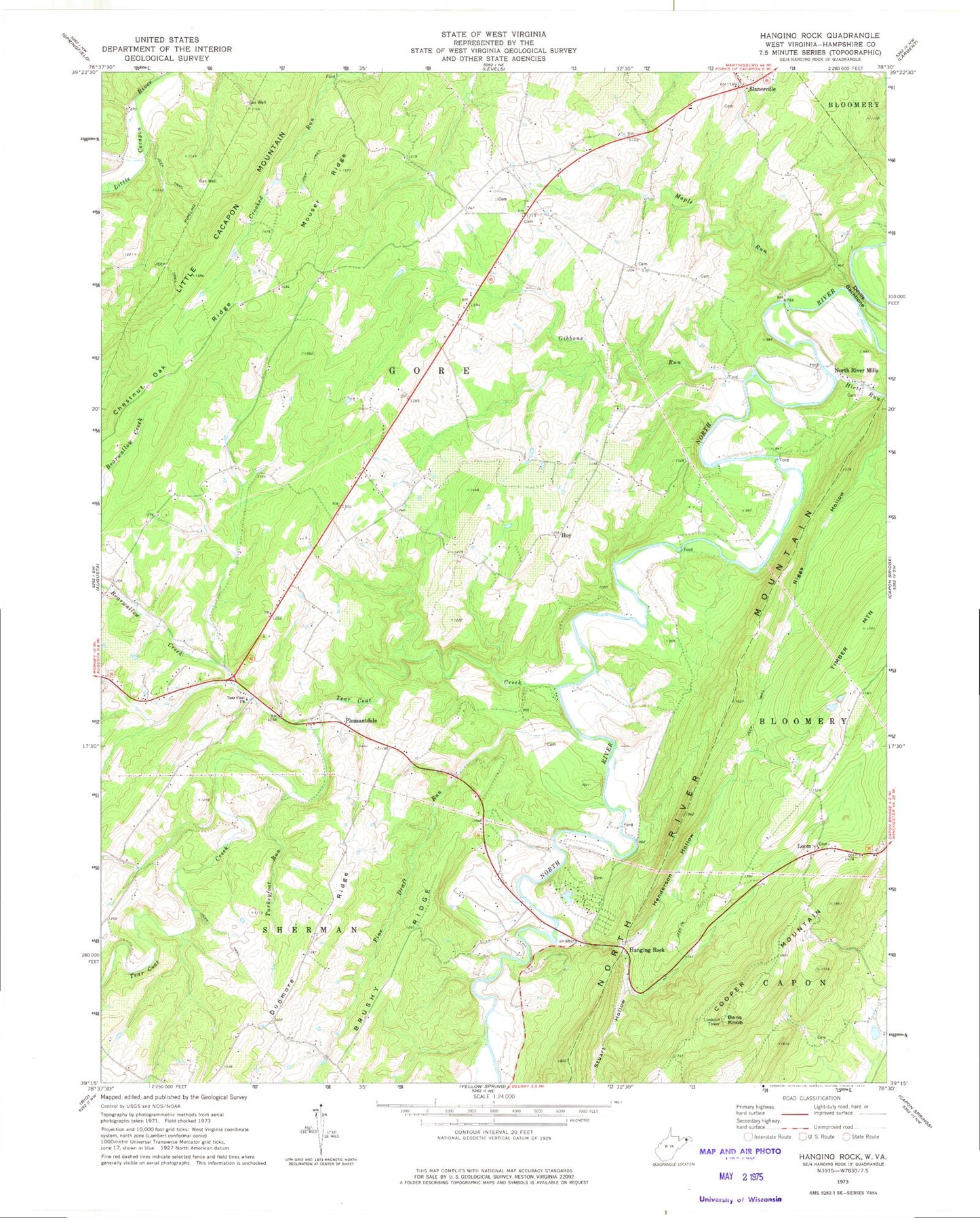
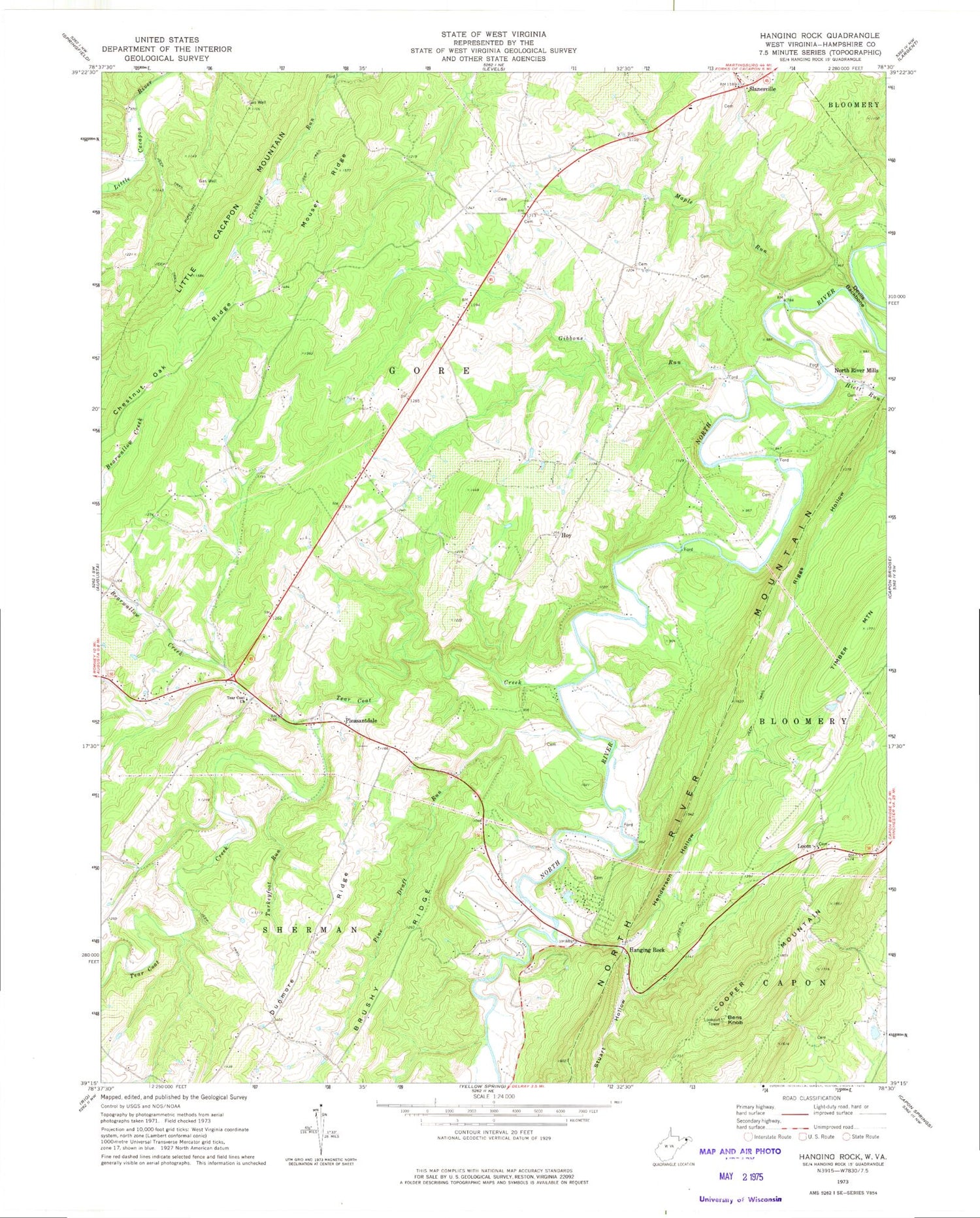
Classic USGS Hanging Rock West Virginia 7.5'x7.5' Topo Map
Couldn't load pickup availability
Historical USGS topographic quad map of Hanging Rock in the state of West Virginia. Typical map scale is 1:24,000, but may vary for certain years, if available. Print size: 24" x 27"
This quadrangle is in the following counties: Hampshire.
The map contains contour lines, roads, rivers, towns, and lakes. Printed on high-quality waterproof paper with UV fade-resistant inks, and shipped rolled.
Contains the following named places: Bearwallow Creek, Chestnut Oak Ridge, Devils Backbone, Dunmore Ridge, Gibbons Run, Hanging Rock, Henderson Hollow, Hiett Run, Little Cacapon Mountain, Maple Run, Mouser Ridge, Stuart Hollow, Tear Coat Church, Tear Coat Creek, Timber Mountain, Trinton Hollow, Turkeyfoot Run, Slanesville, Hoy, Pine Draft Run, Bens Knob, Cooper Mountain, Loom, North River Mills, Pleasantdale, Central School (historical), Haines Store (historical), Hopewell School (historical), Hoy School (historical), Independence School (historical), Kedron School (historical), New Junction School (historical), Rosedale School (historical), Timber Mountain School (historical), Union Church (historical), Woodlawn School (historical), Bitner Spring, Harding Spring, Luna Roomsburg Spring, Craig Spring, Bens Knob Lookout Tower, Central United Methodist Church, Hampshire County, North River Mills United Methodist Church, Slanesville Elementary School, Slanesville Post Office, Slanesville Presbyterian Church, Augusta Volunteer Fire Company, Slanesville Volunteer Fire Company, Slanesville Volunteer Ambulance Service, Central United Methodist Church Cemetery, Quaker Cemetery, Tear Coat Cemetery


