MyTopo
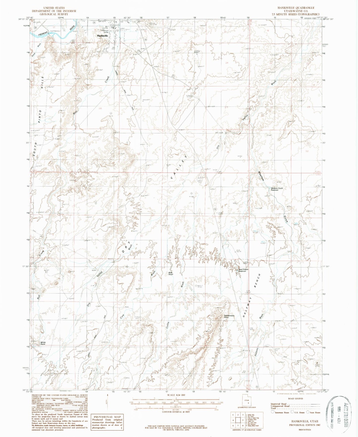
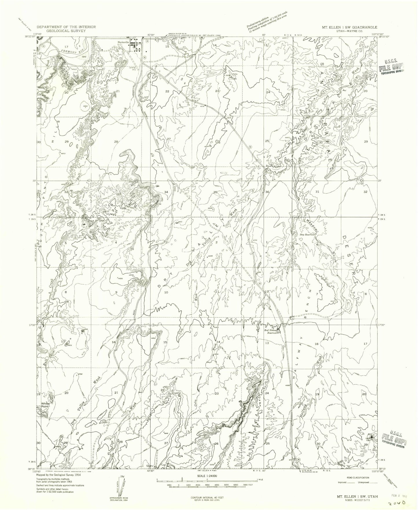
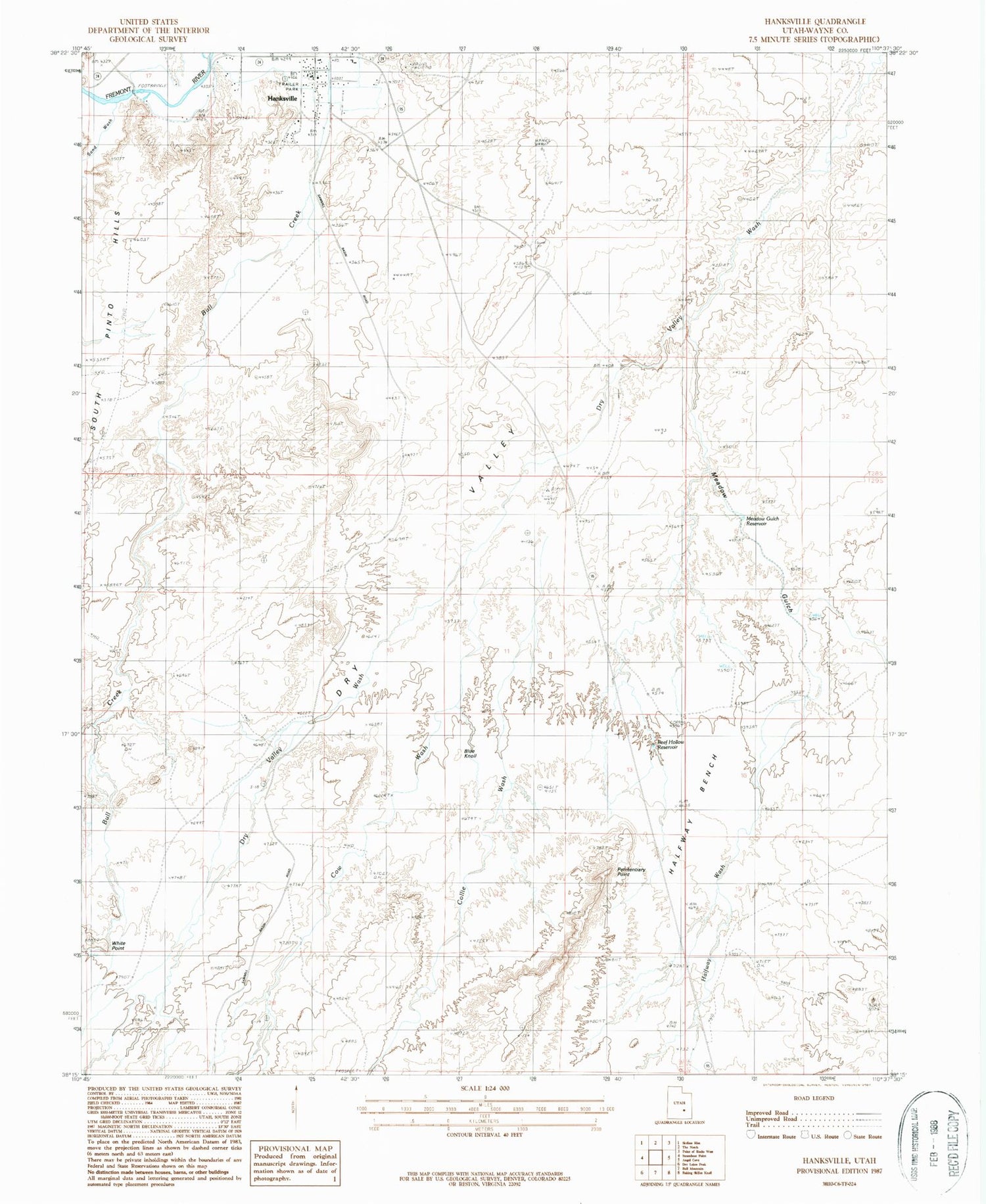
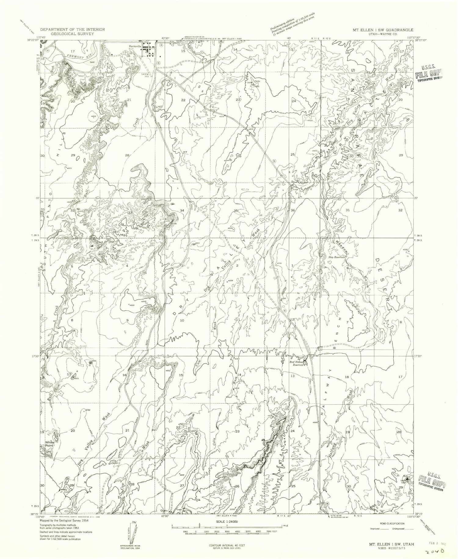
Classic USGS Hanksville Utah 7.5'x7.5' Topo Map
Couldn't load pickup availability
Historical USGS topographic quad map of Hanksville in the state of Utah. Map scale may vary for some years, but is generally around 1:24,000. Print size is approximately 24" x 27"
This quadrangle is in the following counties: Wayne.
The map contains contour lines, roads, rivers, towns, and lakes. Printed on high-quality waterproof paper with UV fade-resistant inks, and shipped rolled.
Contains the following named places: Beef Hollow Reservoir, BLM Office-Hanksville, Blue Knoll, Collie Wash, Cow Wash, Dry Valley, Halfway Bench, Halfway Wash, Hanksville, Hanksville Division, Hanksville Elementary School, Hanksville Fire Department, Hanksville Post Office, Meadow Gulch, Meadow Gulch Reservoir, Penitentiary Point, Sand Wash, South Hanksville Airport, The Church of Jesus Christ of Latter Day Saints, Town of Hanksville, Wayne County Ambulance - Hanksville, White Point, ZIP Code: 84734