MyTopo
Classic USGS Hanleyville Missouri 7.5'x7.5' Topo Map
Couldn't load pickup availability
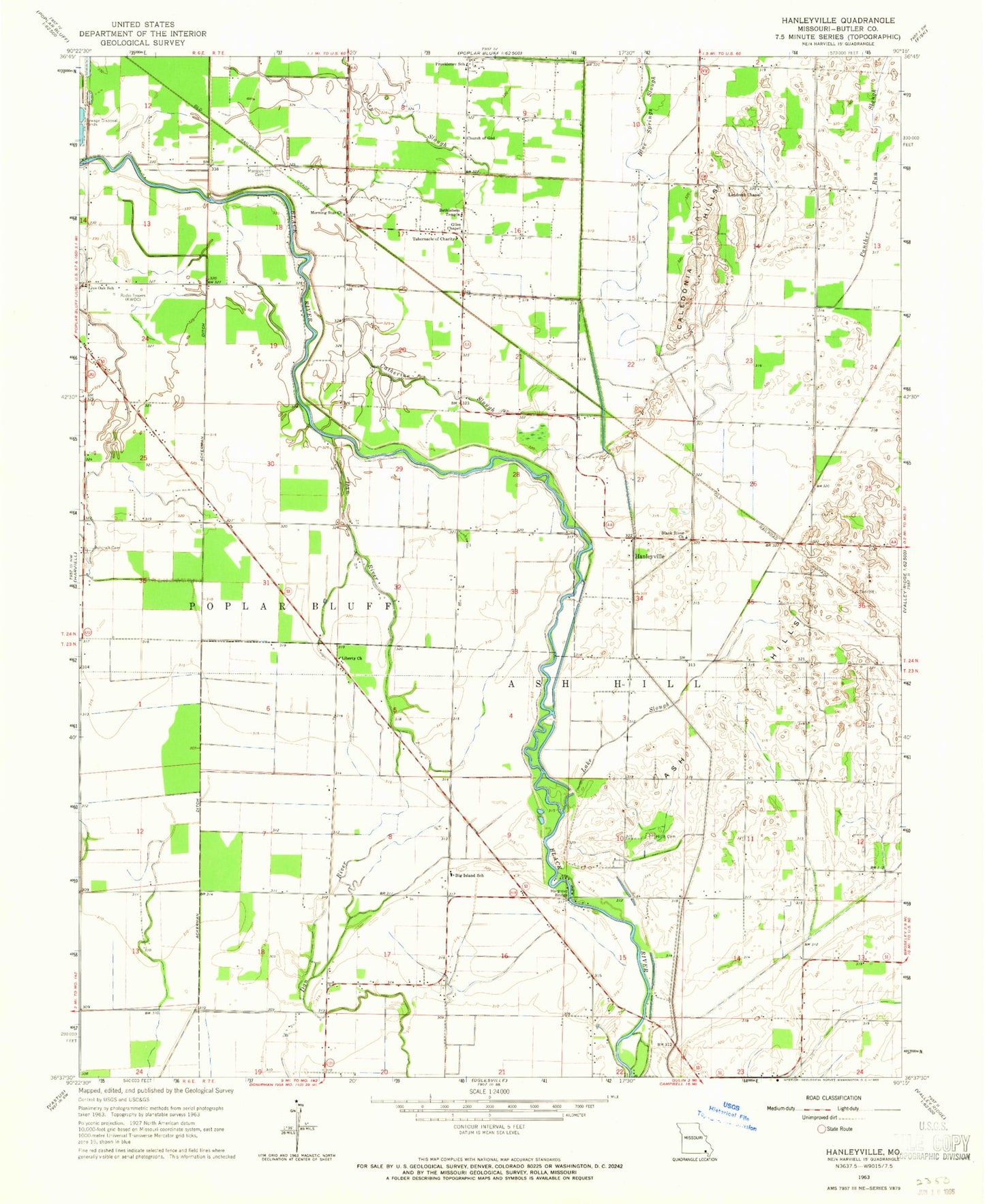
Historical USGS topographic quad map of Hanleyville in the state of Missouri. Map scale may vary for some years, but is generally around 1:24,000. Print size is approximately 24" x 27"
This quadrangle is in the following counties: Butler.
The map contains contour lines, roads, rivers, towns, and lakes. Printed on high-quality waterproof paper with UV fade-resistant inks, and shipped rolled.
Contains the following named places: Ackerman Ditch, Ascraft Church, Ash Hills, Ashcraft Cemetery, Ashcraft School, Bethlehem Temple Church, Big Island, Big Island Church, Big Island School, Black River Church, Blue Spring Slough, Brown Field Airport, Buttermilk Bend, Caledonia Hills, Caledonia School, Caney Slough, Catherine Slough, Church of God, Colvin School, Cross Slough, Deadmans Bend, Ditch Number 14, Doolens Pasture, Giles Church, Grape Vine Bend, Hammons Bend, Hanleyville, Hargove Bridge, Hayes Field, Hillis Cemetery, Hoggs Eddy, Jackson Bar, KWOC-AM (Poplar Bluff), KWOC-FM (Poplar Bluff), Lake Slough, Landreth Church, Liberty Church, Liberty School, Live Oak School, Lone Beach School, Marshall Eddy, Mayberry, Morning Star Church, Morocco, Morocco Cemetery, Morocco School, Panther Run Slough, Providence Church, Providence School, Stillcamp School, Tabernacle of Charity Church, ZIP Code: 63932


