MyTopo
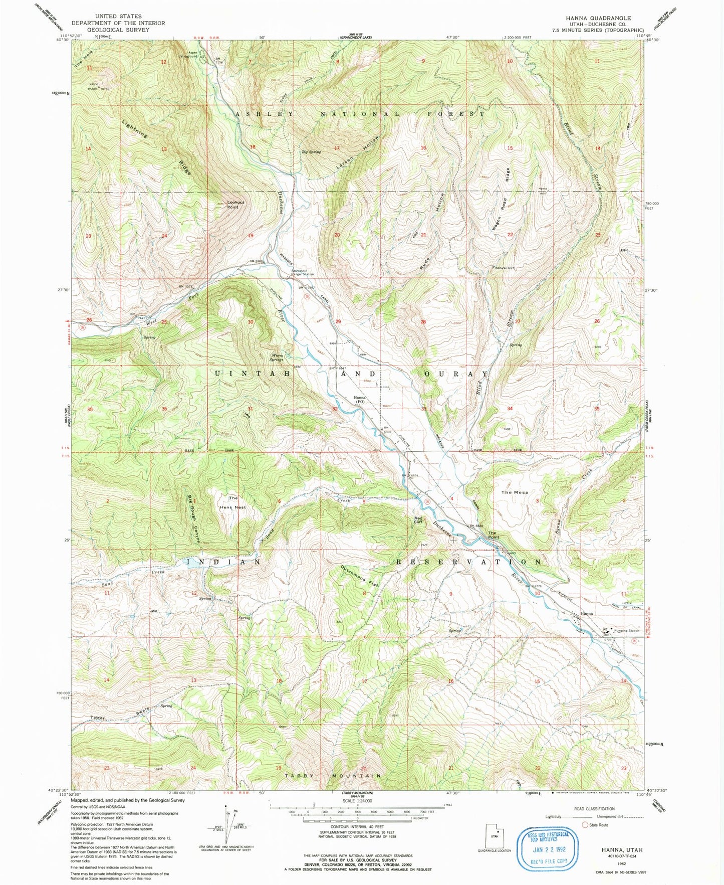
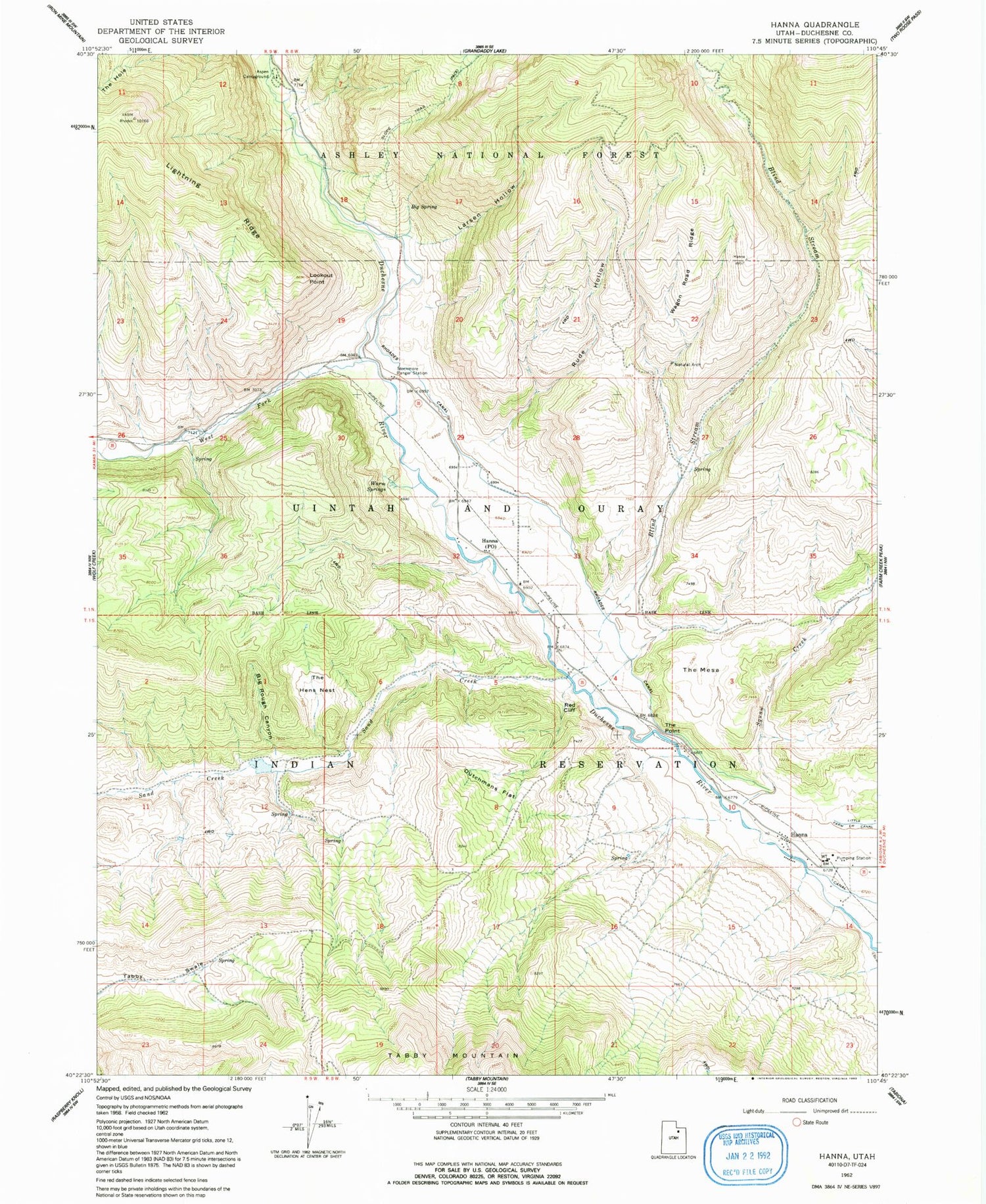
Classic USGS Hanna Utah 7.5'x7.5' Topo Map
Couldn't load pickup availability
Historical USGS topographic quad map of Hanna in the state of Utah. Map scale may vary for some years, but is generally around 1:24,000. Print size is approximately 24" x 27"
This quadrangle is in the following counties: Duchesne.
The map contains contour lines, roads, rivers, towns, and lakes. Printed on high-quality waterproof paper with UV fade-resistant inks, and shipped rolled.
Contains the following named places: Aspen Campground, Big Rough Canyon, Big Spring, Blind Stream, Dutchmans Flat, Hanna, Hanna Heliport, Hanna Post Office, Jackass Larson Spring, Larsen Hollow, Lookout Point, Red Cliff, Rhoades Canal, Rude Hollow, Sand Creek, Squaw Creek, Stockmore Ranger Station, Tabby Swale, The Hens Nest, The Hole, The Mesa, The Point, United States Forest Service Fire Station - Stockmore Ranger District, Wagon Road Ridge, Warm Springs, West Fork Duchesne River