MyTopo
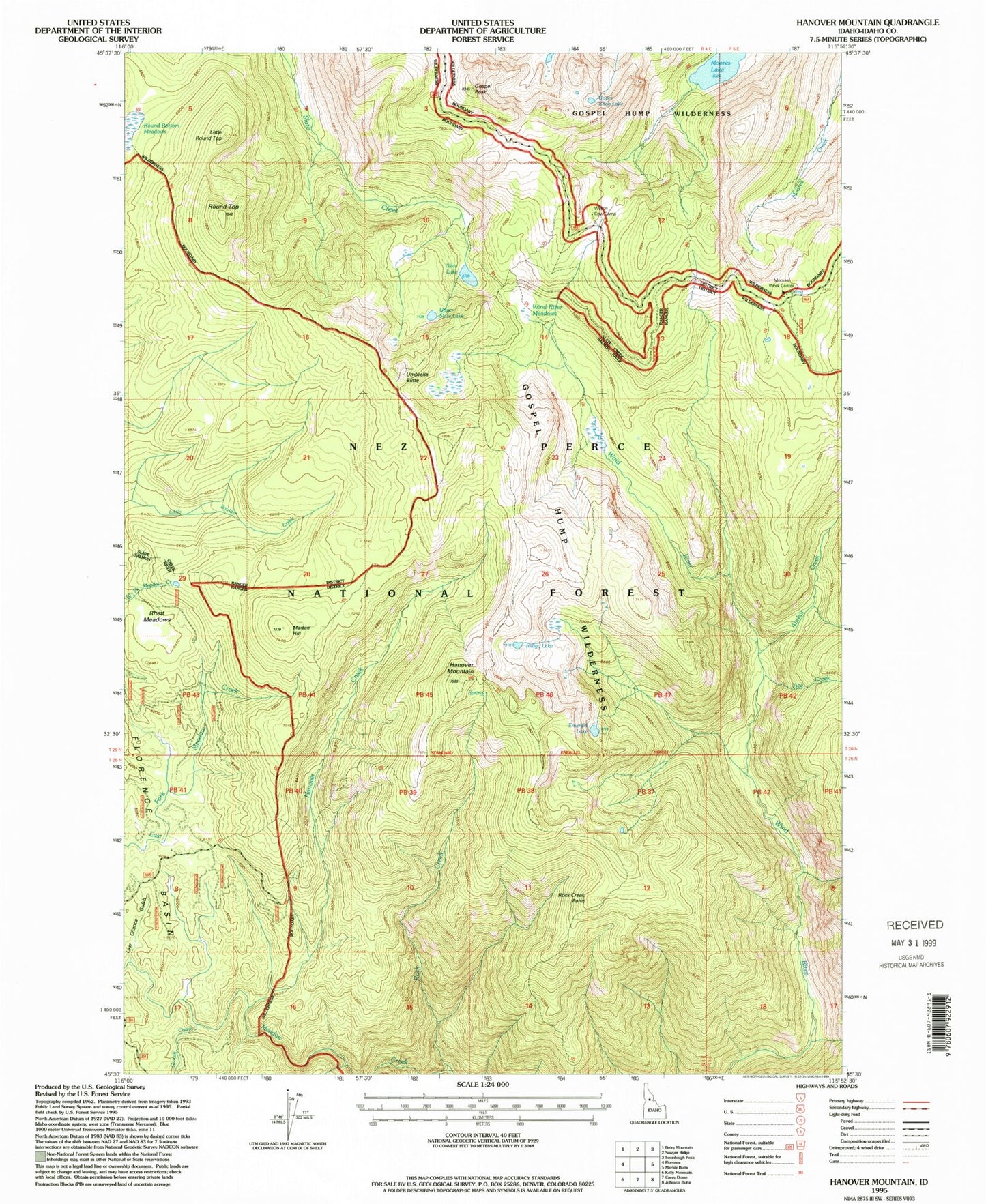
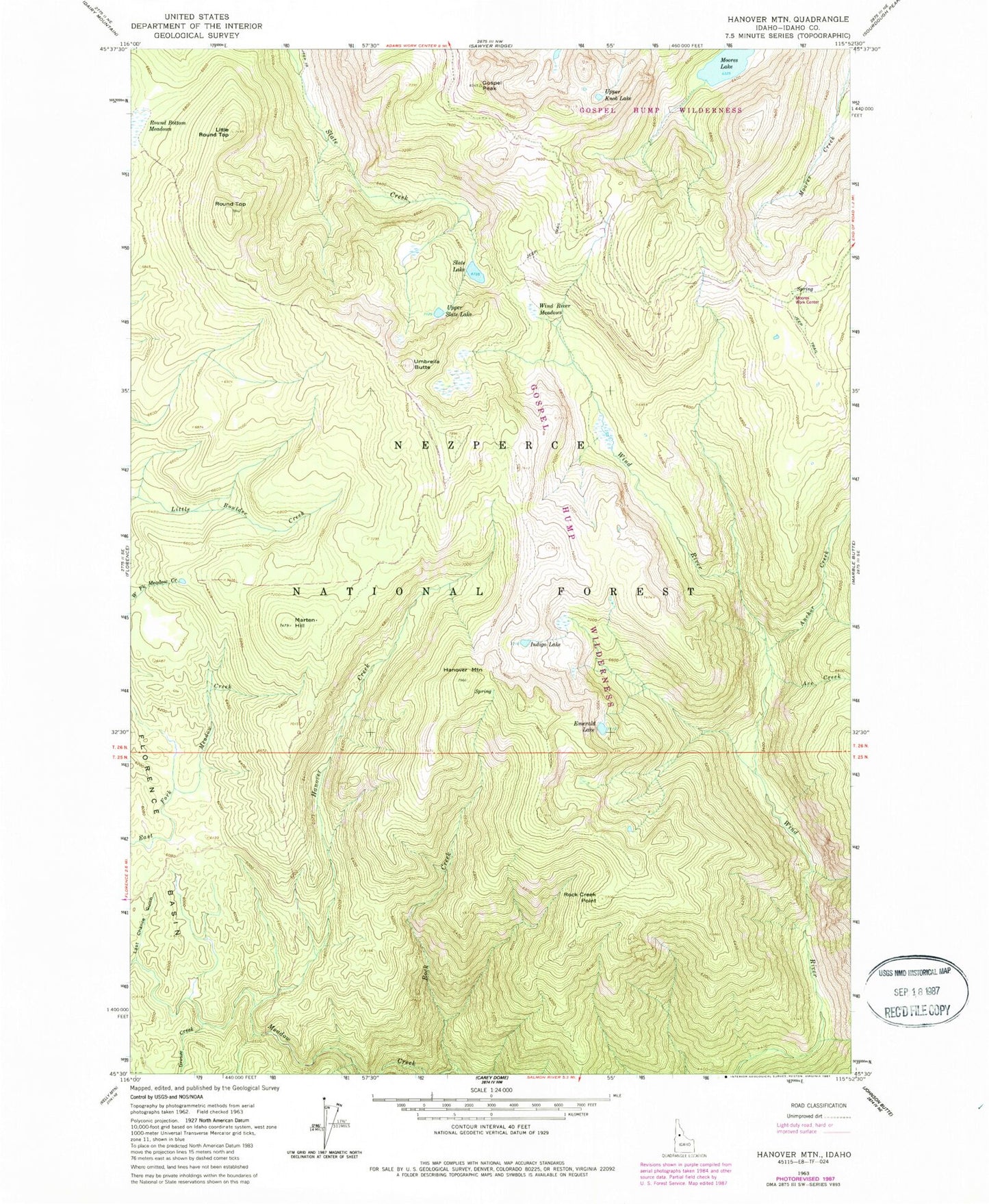
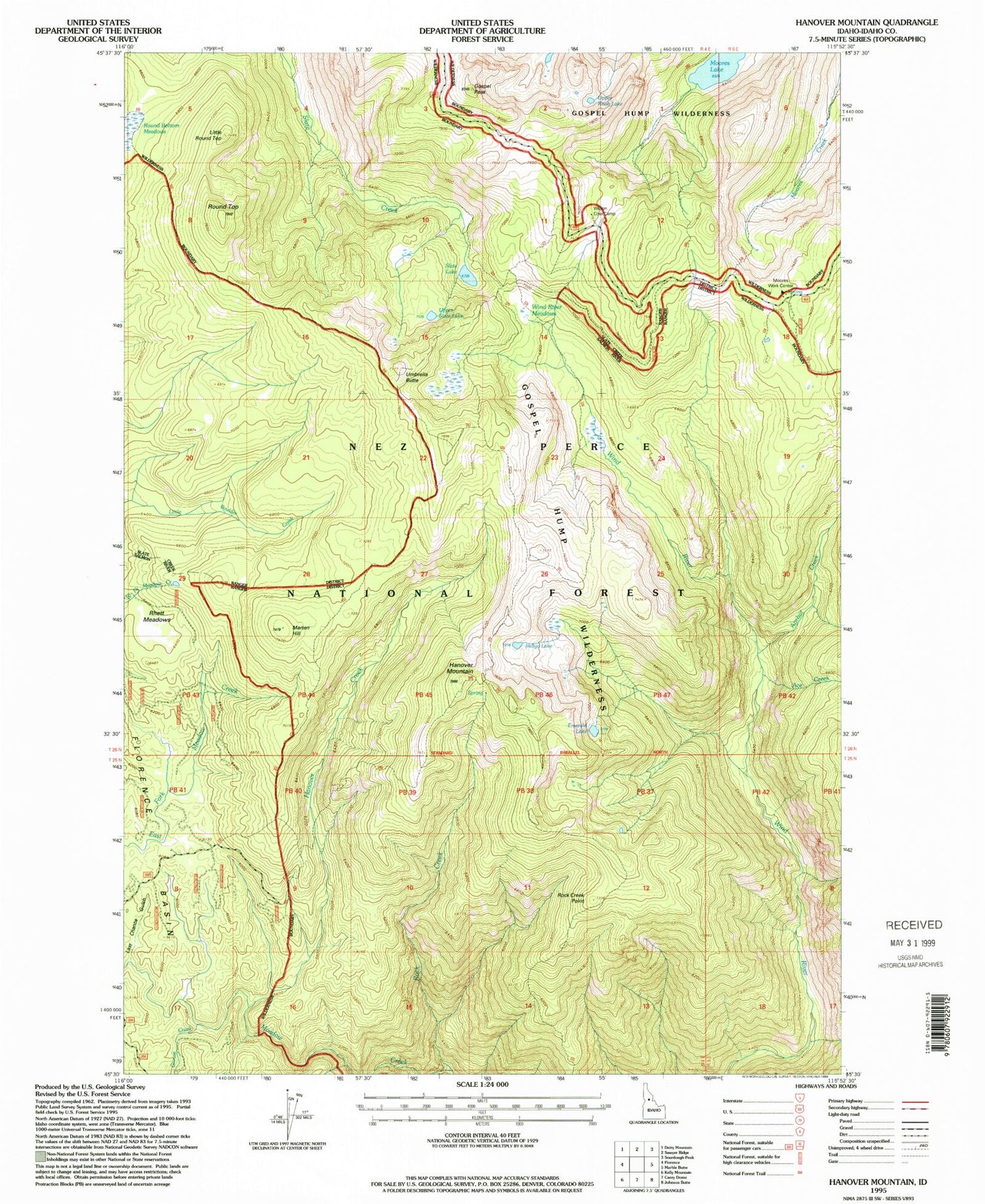
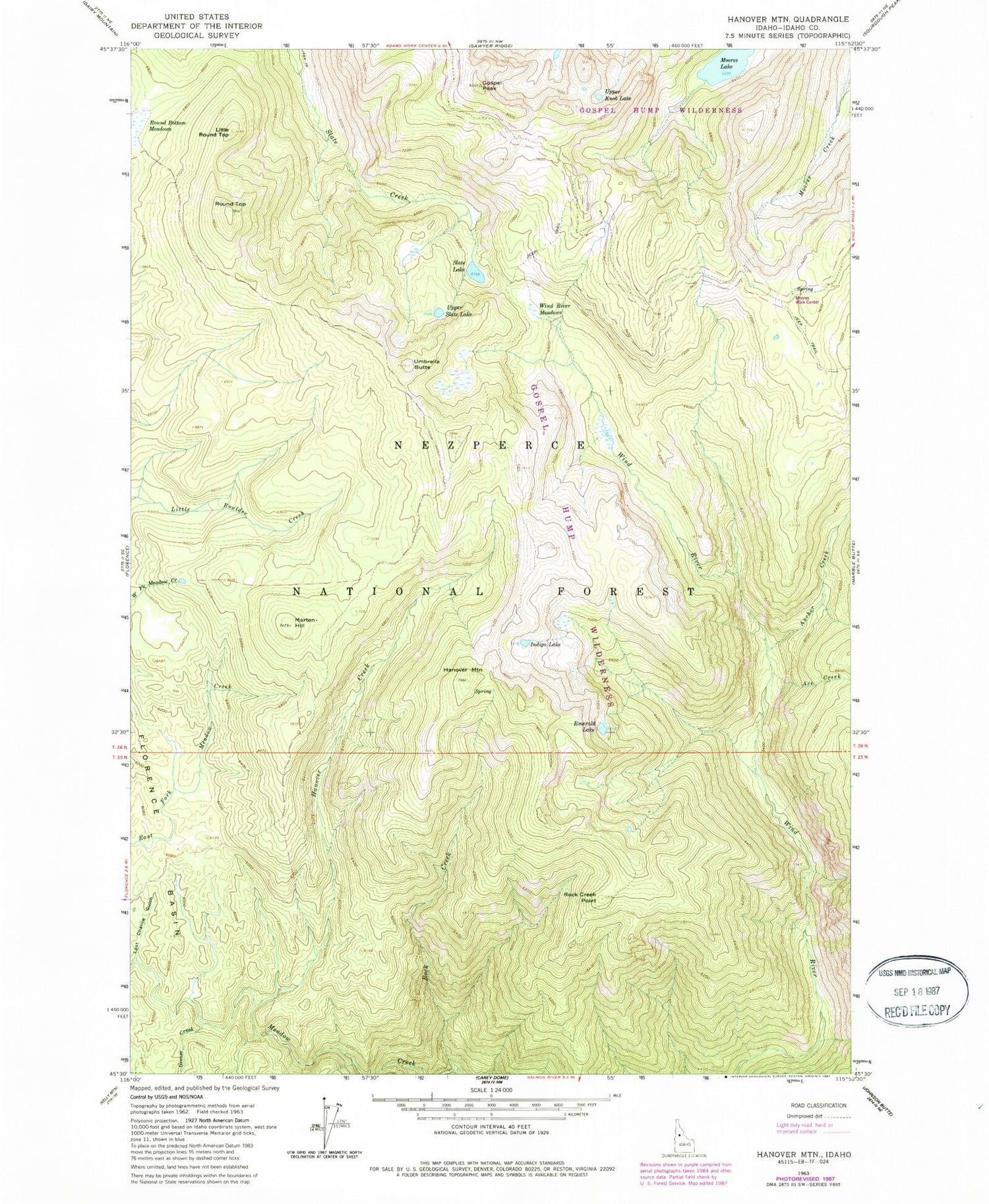
Classic USGS Hanover Mountain Idaho 7.5'x7.5' Topo Map
Couldn't load pickup availability
Historical USGS topographic quad map of Hanover Mountain in the state of Idaho. Typical map scale is 1:24,000, but may vary for certain years, if available. Print size: 24" x 27"
This quadrangle is in the following counties: Idaho.
The map contains contour lines, roads, rivers, towns, and lakes. Printed on high-quality waterproof paper with UV fade-resistant inks, and shipped rolled.
Contains the following named places: Ace Creek, Anchor Creek, Emerald Lake, Gospel Peak, Grouse Creek, Hanover Creek, Hanover Mountain, Indigo Lake, Last Chance Gulch, Little Round Top, Marten Hill, Moores Lake, Moores Station, Rock Creek, Rock Creek Point, Round Top, Umbrella Butte, Wind River Meadows, Rhett Meadows, Wilson Cow Camp, Moores Work Center, Circle Creek, Slate Lakes, Slate Lake, Upper Knob Lake, Upper Slate Lake, Jackson Ridge, Indigo Creek, Bentz Creek, Whiskey Bills Cabin, Hagen Ridge


