MyTopo
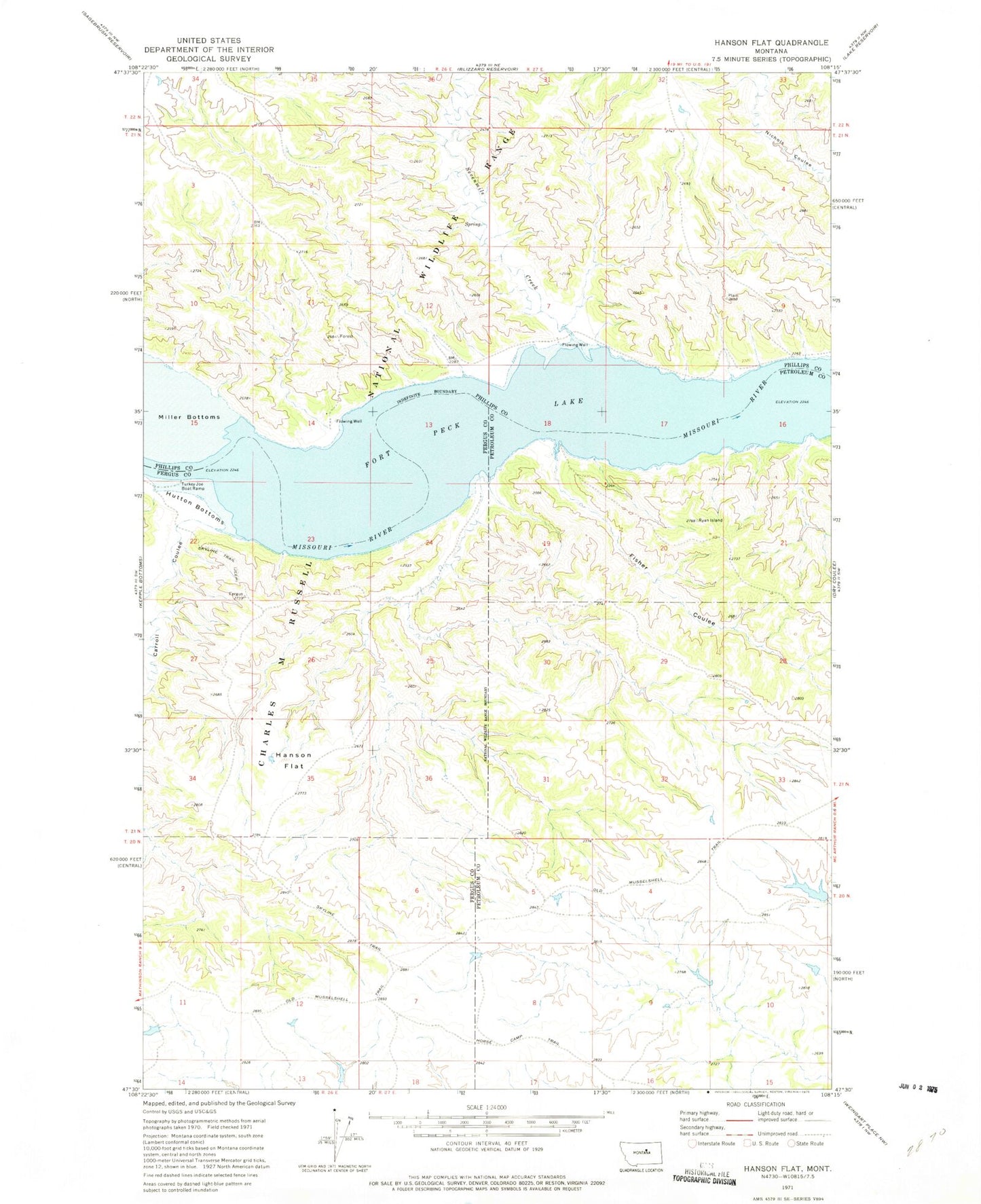
Classic USGS Hanson Flat Montana 7.5'x7.5' Topo Map
Couldn't load pickup availability
Historical USGS topographic quad map of Hanson Flat in the state of Montana. Map scale may vary for some years, but is generally around 1:24,000. Print size is approximately 24" x 27"
This quadrangle is in the following counties: Fergus, Petroleum, Phillips.
The map contains contour lines, roads, rivers, towns, and lakes. Printed on high-quality waterproof paper with UV fade-resistant inks, and shipped rolled.
Contains the following named places: 21N26E01DD__01 Well, 21N26E14ACDD01 Well, 21N27E04AD__01 Well, 21N27E07CD__01 Well, Athearn School, Carroll, Carroll Coulee, Carroll Post Office, Fisher Coulee, Fort Carroll, Hanson Flat, HEADMAN Dam, Horse Camp Trail, Hutton Bottoms, Sevenmile Creek, Skyline Trail, Turkey Joe Boat Ramp