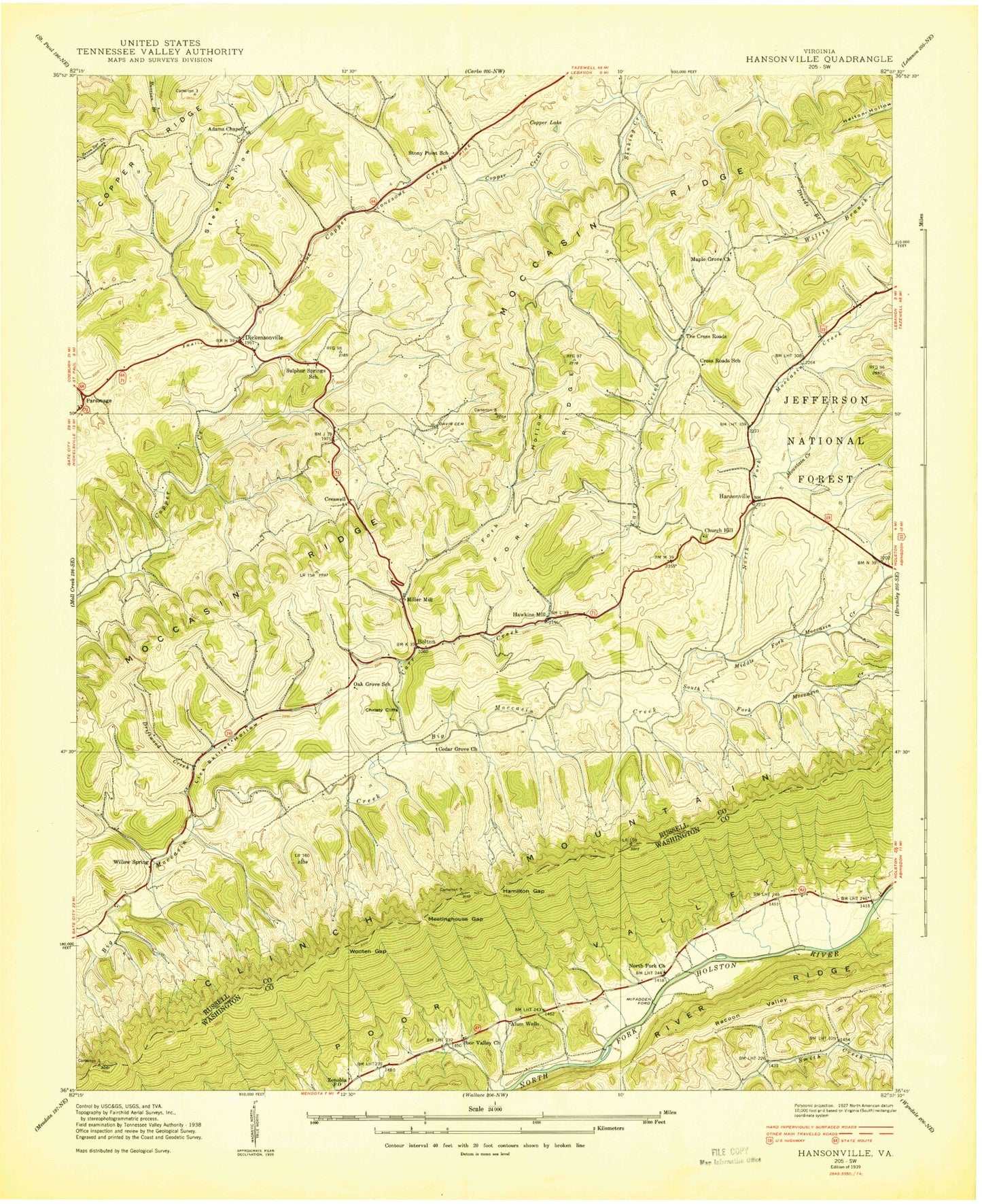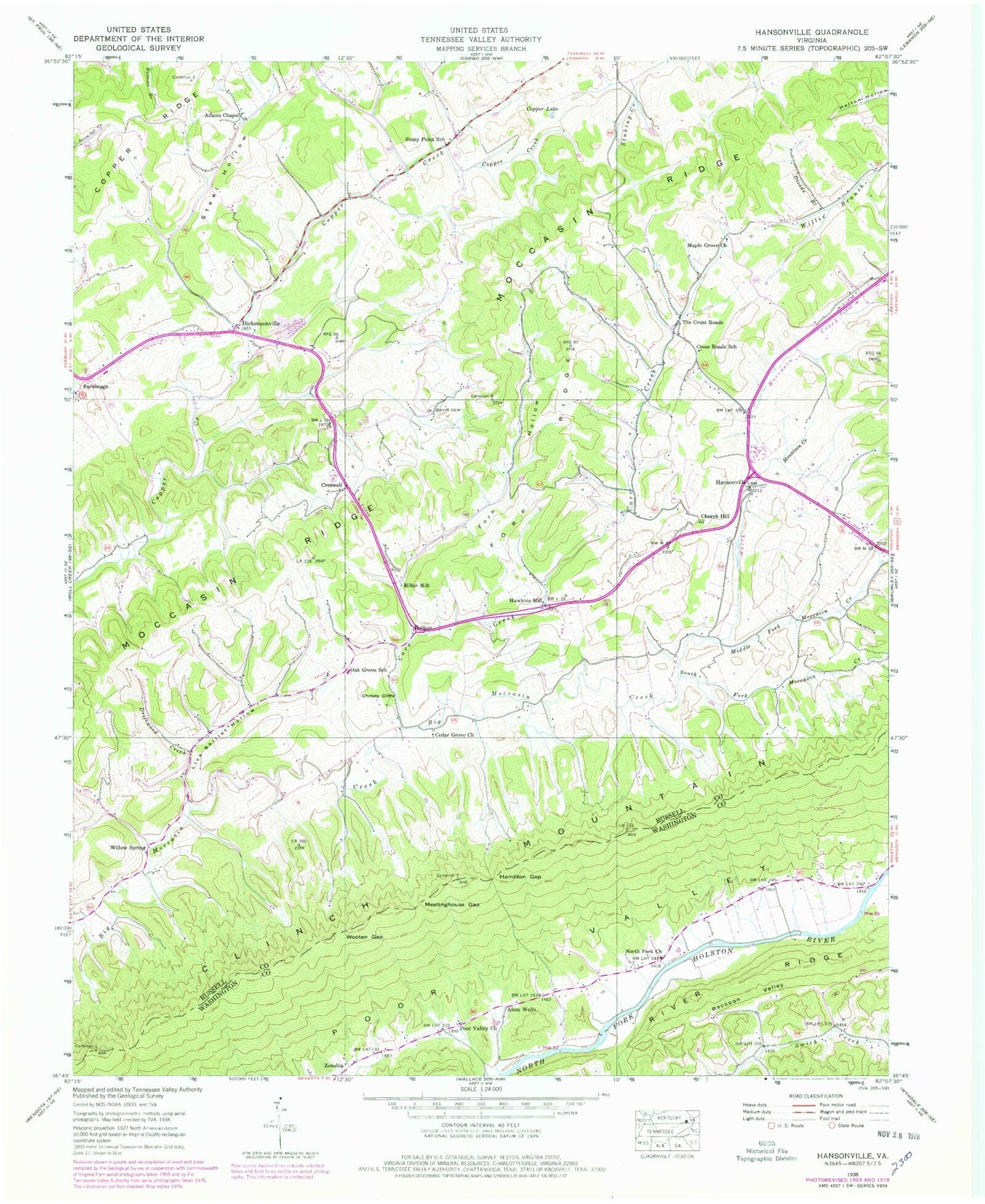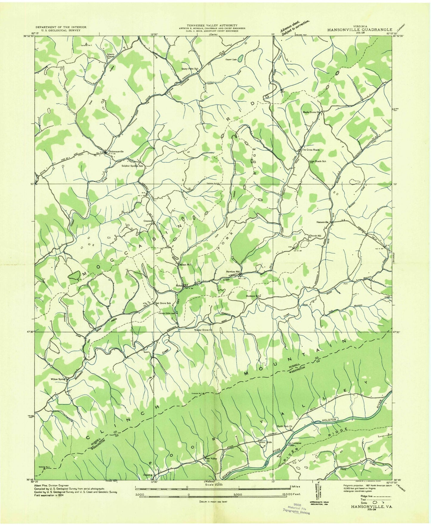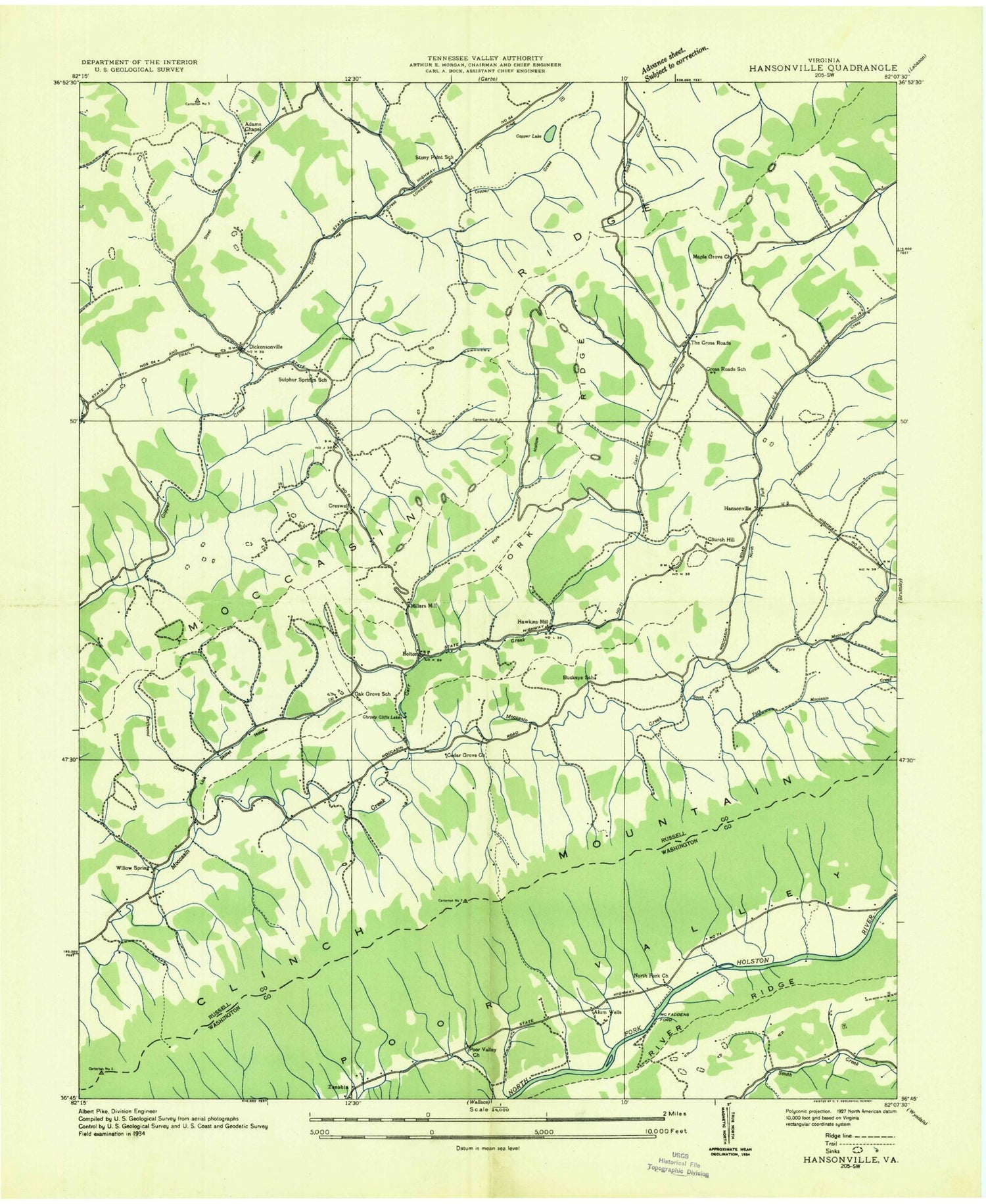
MyTopo
Classic USGS Hansonville Virginia 7.5'x7.5' Topo Map
Couldn't load pickup availability
Historical USGS topographic quad map of Hansonville in the state of Virginia. Map scale may vary for some years, but is generally around 1:24,000. Print size is approximately 24" x 27"
This quadrangle is in the following counties: Russell, Washington.
The map contains contour lines, roads, rivers, towns, and lakes. Printed on high-quality waterproof paper with UV fade-resistant inks, and shipped rolled.
Contains the following named places: Adams Chapel, Alum Wells, Bolton, Buckeye School, Carr Creek, Cedar Grove Church, Christy Cliffs, Church Hill, Church Hill Cemetery, Copper Creek Elementary School, Creswell, Cross Roads School, Davis Cemetery, Dickensonville, Divide Branch, Driftwood Creek, Fork Hollow, Fork Ridge, Hamilton Gap, Hansonville, Hawkins Mill, Lake Copper, Lick Skillet Hollow, Maple Grove Church, McFadden Ford, Meetinghouse Gap, Middle Fork Moccasin Creek, Mountain Creek, North Fork Church, North Fork Moccasin Creek, Oak Grove Elementary School, Parsonage, Poor Valley Church, Raccoon Valley, River Ridge, South Fork Moccasin Creek, Steel Hollow, Stony Point School, Sulphur Springs School, The Cross Roads, The Lonesome Pine Trail, Willow Springs, Wooten Gap, Zenobia