MyTopo
Classic USGS Harbor Beach Michigan 7.5'x7.5' Topo Map
Couldn't load pickup availability
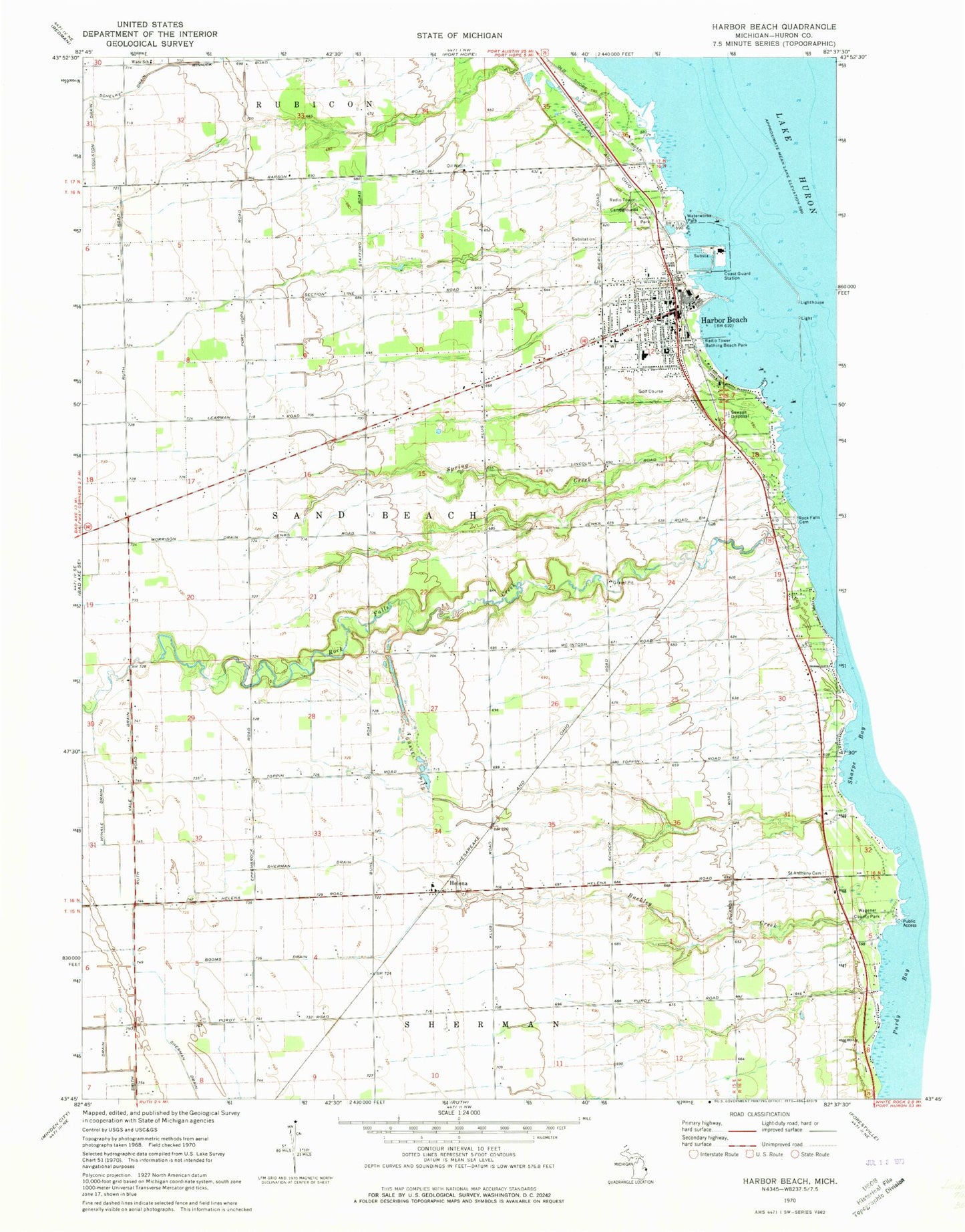
Historical USGS topographic quad map of Harbor Beach in the state of Michigan. Map scale may vary for some years, but is generally around 1:24,000. Print size is approximately 24" x 27"
This quadrangle is in the following counties: Huron.
The map contains contour lines, roads, rivers, towns, and lakes. Printed on high-quality waterproof paper with UV fade-resistant inks, and shipped rolled.
Contains the following named places: Bathing Beach Park, Booms Drain, City of Harbor Beach, Coulston Drain, Crane Point, Eastern Huron Ambulance Service, Faith Bible Baptist Church, First Baptist Church, First Presbyterian Church, Frank Murphy Historical Marker, Frank Murphy Museum, Harbor Beach, Harbor Beach Community Hospital, Harbor Beach Fire Department, Harbor Beach Golf Course, Harbor Beach High School, Harbor Beach Light, Harbor Beach Marina, Harbor Beach Medical Center, Harbor Beach Police Department, Harbor Beach Post Office, Harbor Beach Power Plant, Harbor Beach Public Library, Harbor Beach Resort Association, Harbor Beach Station, Harbor Beach United Methodist Church, Harbor of Refuge, Helena, Helena Post Office, Helena Station, Lighthouse Assembly of God Church, Morrison Drain, North Park, North Park Campgrounds, Our Lady of Lake Huron Catholic Church, Our Lady of Lake Huron Roman Catholic Cemetery, Our Lady of Lake Huron School, Reorganized Church of Jesus Christ of Latter Day Saints, Rock Falls Cemetery, Rock Falls Creek, Rock Falls Post Office, Saint Anthony Catholic Church, Saint Anthony Cemetery, Sherman Drain, Sigel Post Office, Smith Drain, South Pier Light, Spring Creek, Township of Sand Beach, Vale Drain, Wade School, Waterworks Park, Winkle Drain, Zion Lutheran Church, ZIP Code: 48441


