MyTopo
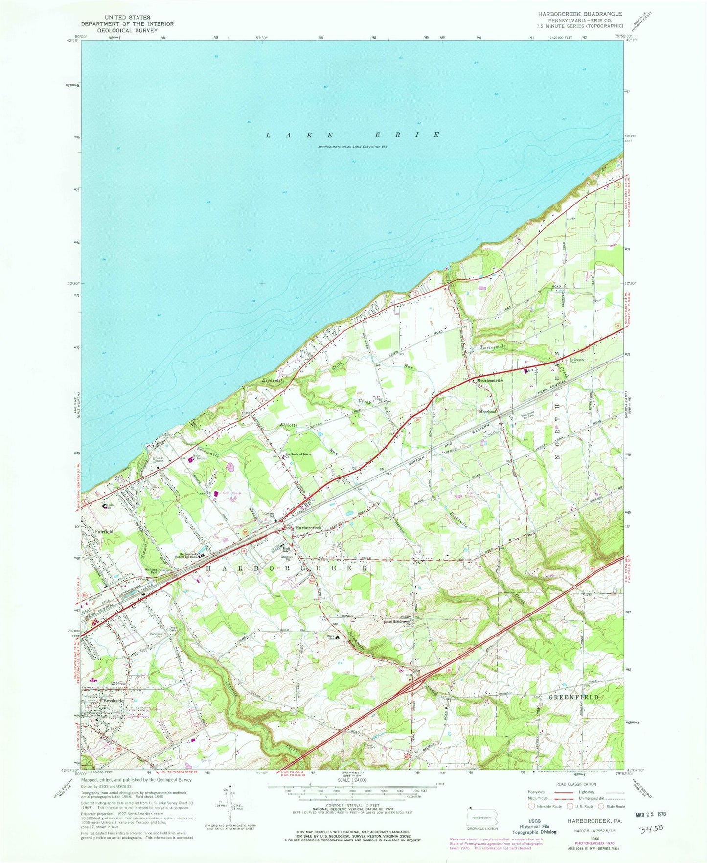
Classic USGS Harborcreek Pennsylvania 7.5'x7.5' Topo Map
Couldn't load pickup availability
Historical USGS topographic quad map of Harborcreek in the state of Pennsylvania. Map scale may vary for some years, but is generally around 1:24,000. Print size is approximately 24" x 27"
This quadrangle is in the following counties: Erie.
The map contains contour lines, roads, rivers, towns, and lakes. Printed on high-quality waterproof paper with UV fade-resistant inks, and shipped rolled.
Contains the following named places: Arens Corners, Brookside, Brookside Volunteer Fire Company Erie County Station 24, Central School, Clark Elementary School, Eades Corners, Eaoaun Bohoslov Cemetery, Eightmile Creek, Elliotts Run, EmergyCare Harborcreek, Faith Lutheran Church, Gospel Hill Burial Ground, Gospel Hill Golf Course, Green Meadows Golf Course, Harborcreek, Harborcreek Fire Department Erie County Department 22, Harborcreek Junior-Senior High School, Harborcreek Post Office, Harborcreek School for Boys, Hoag Cemetery, Hope Church, Jacob Cemetery, Klein Elementary School, Moorhead, Moorhead Airpark LLC, Moorheadville, Mount Saint Benedict, Nelson Fruit Farm, Nelsons Farm Airport, Northwest Harborcreek Census Designated Place, Our Lady of Mercy Church, Richter Farms, Saint Gregory Cemetery, Scott Run, Sevenmile Creek, Shades Beach County Boat Livery, Sheridan Corners, Sixmile Creek, South Harborcreek Cemetery, South Harborcreek Church, Township of Harborcreek, Twelvemile Creek, Whitford Park, ZIP Codes: 16421, 16511