MyTopo
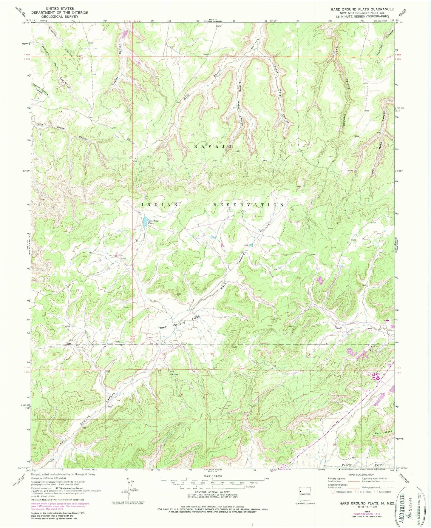
Classic USGS Hard Ground Flats New Mexico 7.5'x7.5' Topo Map
Regular price
$16.95
Regular price
Sale price
$16.95
Unit price
per
Couldn't load pickup availability
Historical USGS topographic quad map of Hard Ground Flats in the state of New Mexico. Map scale may vary for some years, but is generally around 1:24,000. Print size is approximately 24" x 27"
This quadrangle is in the following counties: McKinley.
The map contains contour lines, roads, rivers, towns, and lakes. Printed on high-quality waterproof paper with UV fade-resistant inks, and shipped rolled.
Contains the following named places: Black Water Canyon, G-3 Water Well, Hard Ground Flats, Kent Nowlin Pit, Northeast Church Rock, Ram Mesa, Red Water Pond, Sitting Water Canyon