MyTopo
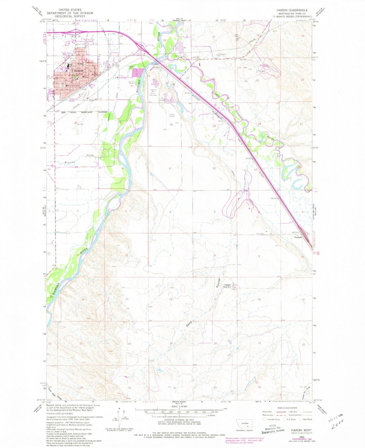
Classic USGS Hardin Montana 7.5'x7.5' Topo Map
Couldn't load pickup availability
Historical USGS topographic quad map of Hardin in the state of Montana. Map scale may vary for some years, but is generally around 1:24,000. Print size is approximately 24" x 27"
This quadrangle is in the following counties: Big Horn.
The map contains contour lines, roads, rivers, towns, and lakes. Printed on high-quality waterproof paper with UV fade-resistant inks, and shipped rolled.
Contains the following named places: 01S33E13DD__01 Well, 01S33E15DDD_01 Well, 01S33E24BCB_01 Well, 01S33E24BCBC02 Well, 01S33E26CB__01 Well, 01S34E17CDCC01 Well, 01S34E19ABCD01 Well, 01S34E19AC__01 Well, 01S34E19BA__01 Well, 01S34E19DA__01 Well, 01S34E19DC__01 Well, 01S34E20CC__01 Well, 01S34E20CDBB01 Well, 01S34E28CB__01 Well, 01S34E28CBBA01 Well, 01S34E28CCCC01 Well, 01S34E29AA__03 Well, 01S34E29AB__02 Well, 01S34E29AD__01 Well, 01S34E29ADBB01 Well, 01S34E29BC__03 Well, 01S34E29BDAD01 Well, 01S34E29DB__01 Well, 01S34E29DD__01 Well, 01S34E33BB__03 Well, 01S34E33CD__03 Well, 01S34E33CDCB01 Well, 01S34E33DA__01 Well, 01S34E33DB__01 Well, 01S34E33DBBA01 Well, 01S34E34BCCD01 Well, 01S34E34CBDD01 Well, 01S34E34CD__01 Well, 02S34E03AB__02 Well, 02S34E03AC__01 Well, 02S34E03BC__01 Well, 02S34E03CC__01 Well, 02S34E03CC__02 Well, 02S34E03CDCC01 Well, 02S34E03DC__01 Well, 02S34E03DC__02 Well, 02S34E03DC__03 Well, 02S34E03DC__04 Well, 02S34E04AA__01 Well, 02S34E04AA__02 Well, 02S34E04AA__03 Well, 02S34E04AAAA01 Well, 02S34E04AB__01 Well, 02S34E04BB__02 Well, 02S34E04BBAB01 Well, 02S34E04DA__01 Well, 02S34E04DA__02 Well, 02S34E04DB__01 Well, 02S34E04DB__02 Well, 02S34E06ABAB01 Well, 02S34E09AA__01 Well, 02S34E10AB__01 Well, 02S34E10AB__02 Well, 02S34E10BBCA01 Well, 02S34E10DBBB01 Well, 02S34E16BBCC01 Well, Big Horn County Ambulance, Big Horn County Courthouse, Big Horn County Fairgrounds, Big Horn County Historical Museum, Big Horn County Library, Big Horn County Memorial Hospital, Big Horn County Memorial Nursing Home, Big Horn County Rural Fire Department, Big Horn County Sheriff's Office, Big Horn County Softball Fields, Big Horn River Bridge, Big Horn Wye, Bowman Grain and Seed Elevator, Brennan Kiddie Park, Campbell Camp Number One, Campbells, Christ Evangelical and Reformed Church, Church of the Open Bible, City of Hardin, Crow Number 22 Dam, Dana Coulee, Denio Elevator, Dunmore, Fairgrounds Airpark, Faith Baptist Church, First American Lutheran Church, First Baptist Church, First Congregational Church, Fort Custer, Fort Custer Military Reservation, Fort Custer Post Office, Grandview Campground, Hardin, Hardin Airport, Hardin Clinic, Hardin High School, Hardin Intermediate, Hardin Middle School, Hardin Police Department, Hardin Post Office, Hardin Primary, Hardin Sewage Lagoon Dam, Hardin Southern Baptist Church, Hardin Visitor Information Center, Hardin Volunteer Fire Department, Harvest States Cooperatives Elevator, Harvestime Evangelistic Center, Heritage Acres, KKUL-AM (Hardin), KKUL-FM (Hardin), Little Bighorn River, Little Bighorn Valley, Occident Elevator, Redeemer Lutheran Church, Reno, Saint Joseph Church, Saint Thomas Episcopal Church, South West Park, Sunset Village, The Church of Jesus Christ of Latter Day Saints, United Methodist Church, United Pentecostal Church, Williams Coulee, Wilson Park


