MyTopo
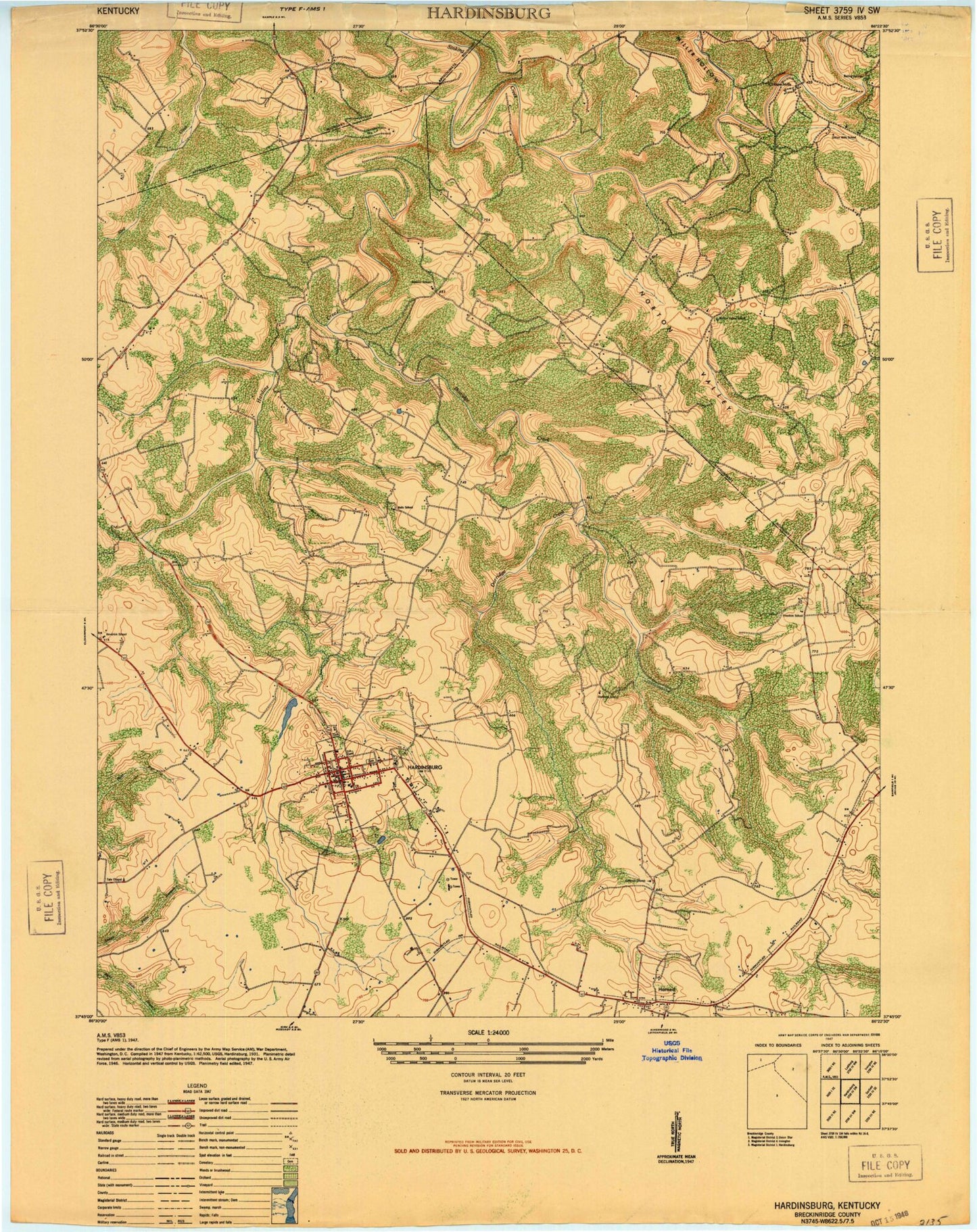
Classic USGS Hardinsburg Kentucky 7.5'x7.5' Topo Map
Couldn't load pickup availability
Historical USGS topographic quad map of Hardinsburg in the state of Kentucky. Map scale may vary for some years, but is generally around 1:24,000. Print size is approximately 24" x 27"
This quadrangle is in the following counties: Breckinridge.
The map contains contour lines, roads, rivers, towns, and lakes. Printed on high-quality waterproof paper with UV fade-resistant inks, and shipped rolled.
Contains the following named places: Bells School, BMH Heliport, Boiling Springs, Breck Central Emergency Medical Services, Breckinridge County, Breckinridge County Airport, Breckinridge County Sheriff's Office, Breckinridge Memorial Hospital, Burned Courthouses Historical Marker, City of Hardinsburg, Clifton Church, Clifton Mills, Codyville, Dorridge Creek, Ephesus Cumberland Presbyterian Church, Freedom Cumberland Presbyterian Church, Freedom School, Friendship Church, Hardins Creek, Hardinsburg, Hardinsburg Division, Hardinsburg Fire Department, Hardinsburg Police Department, Hardinsburg Post Office, Hardinsburg Reservoir, Harned, Harned Post Office, Harned Volunteer Fire Department, Horsley Chapel United Methodist Church, John Breckinridge Historical Marker, Joseph Holt Historical Marker, Meadows Creek, Miller Hollow, Norton Valley, Norton Valley School, Saint Romuald School, WHIC-AM (Hardinsburg), WHIC-FM (Hardinsburg), William Indian Bill Hardin Historical Marker


