MyTopo
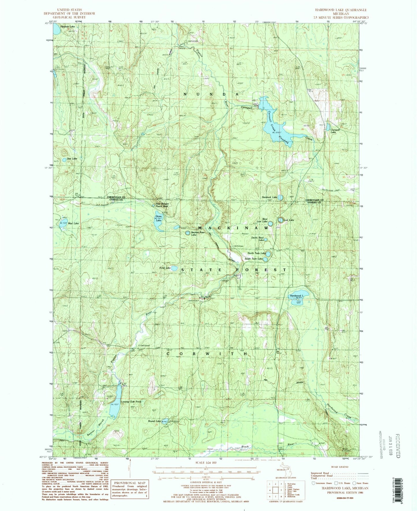
Classic USGS Hardwood Lake Michigan 7.5'x7.5' Topo Map
Couldn't load pickup availability
Historical USGS topographic quad map of Hardwood Lake in the state of Michigan. Typical map scale is 1:24,000, but may vary for certain years, if available. Print size: 24" x 27"
This quadrangle is in the following counties: Cheboygan, Otsego.
The map contains contour lines, roads, rivers, towns, and lakes. Printed on high-quality waterproof paper with UV fade-resistant inks, and shipped rolled.
Contains the following named places: Beaver Dam Club, Beaver Marsh, Cornwall Creek, Cornwall Lake, Devils Bowl Lake, Doe Lake, Ford Lake, Grass Lake, Hackett Lake, Hardwood Lake, Hemlock Lake, Lansing Club, Lansing Club Pond, Lost Lake, Mud Lake, North Twin Lake, Paul Bunyan Punch Bowl, Round Lake, Section Four Lake, South Twin Lake, West Lost Lake, Pigeon River Lookout Tower, Tin Shanty Bridge, Township of Nunda, Cornwall Creek Flooding, Pine Grove State Forest Campground, Cornwell Post Office (historical), Round Lake State Forest Campground, Pigeon Bridge State Forest Campground, Pigeon River State Forest Campground, Elk Hill Equestrian State Forest Campground


