
MyTopo
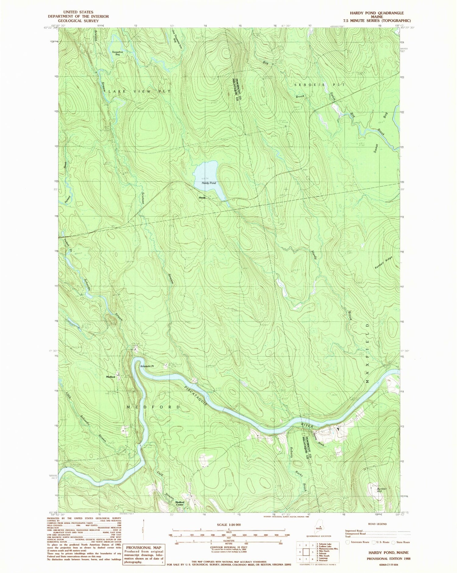
Classic USGS Hardy Pond Maine 7.5'x7.5' Topo Map
Couldn't load pickup availability
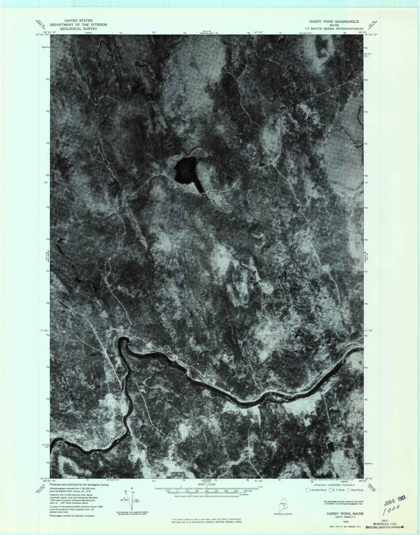
Historical USGS topographic quad map of Hardy Pond in the state of Maine. Typical map scale is 1:24,000, but may vary for certain years, if available. Print size: 24" x 27"
This quadrangle is in the following counties: Penobscot, Piscataquis.
The map contains contour lines, roads, rivers, towns, and lakes. Printed on high-quality waterproof paper with UV fade-resistant inks, and shipped rolled.
Contains the following named places: Bog Brook, Bonnie Brook, Bunker Hill, Cold Stream, Hardy Brook, Hardy Pond, Hardy Pond Trail, Horseshoe Bog, Little Schoodic Stream, Maxfield School, Meadow Brook, Packard Brook, Roberts Rocky Brook, Schoodic Cemetery, Schoodic Stream, Scutaze Stream, Scutaze Trail, Sweat Bog, Hardy, Medford, Town of Maxfield, Town of Medford