MyTopo
Classic USGS Hardy Nebraska 7.5'x7.5' Topo Map
Couldn't load pickup availability
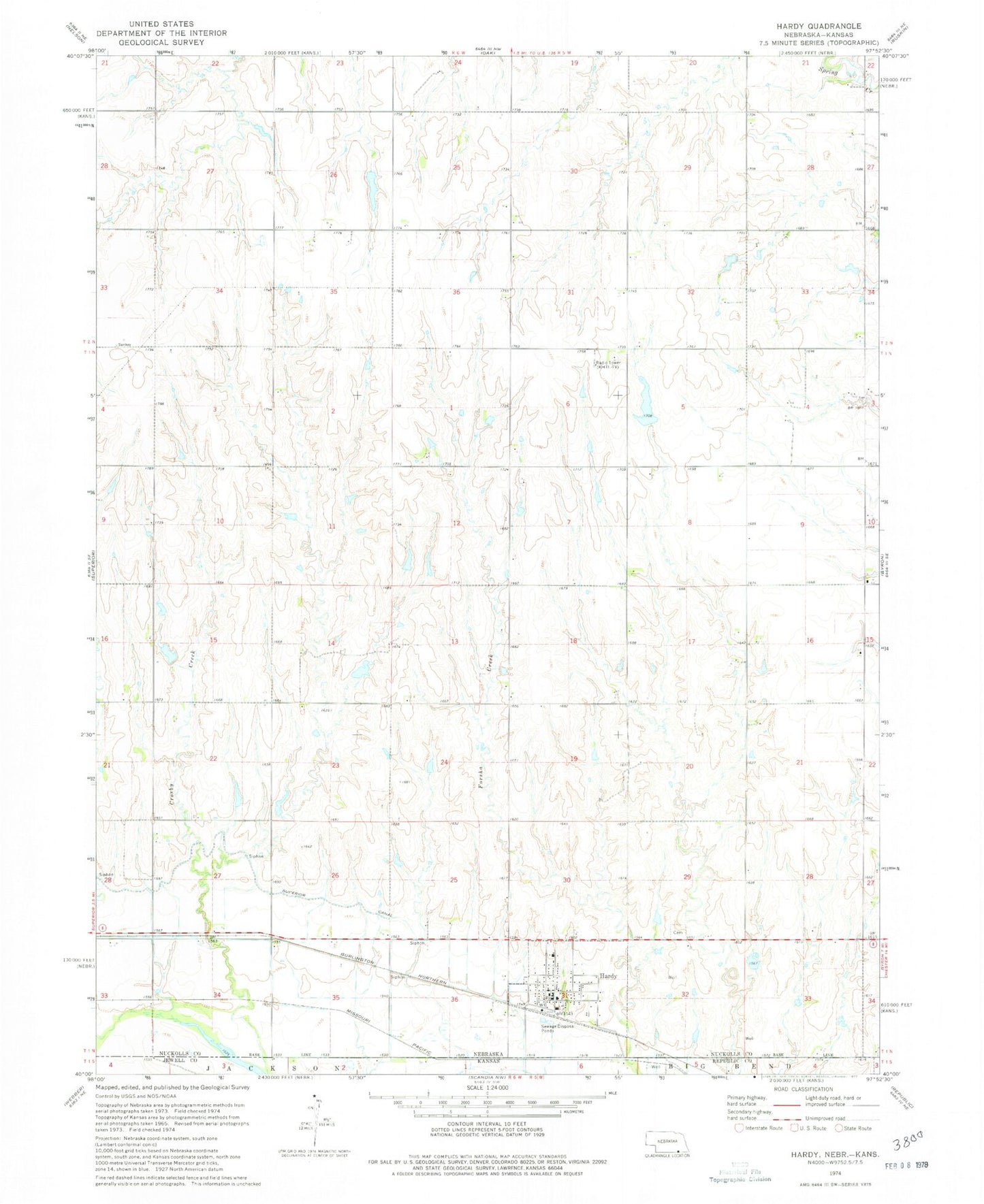
Historical USGS topographic quad map of Hardy in the state of Nebraska. Map scale may vary for some years, but is generally around 1:24,000. Print size is approximately 24" x 27"
This quadrangle is in the following counties: Jewell, Nuckolls, Republic.
The map contains contour lines, roads, rivers, towns, and lakes. Printed on high-quality waterproof paper with UV fade-resistant inks, and shipped rolled.
Contains the following named places: Blackstone Dam, Blackstone Reservoir, Calder Dam, Calder Reservoir, Garfield Election Precinct, Hardy, Hardy Election Precinct, Hardy Park, Hardy Post Office, Hardy Volunteer Fire Department, Houtwed Dam, Houtwed Reservoir, Jensen Dam-1 Dam, Jensen Reservoir, Kaldahl Dam, Kaldahl Reservoir, KSNB-TV (Superior), Meyers Freedom Flight Hardy Airport, Saint Pauls Lutheran Church, Simonsen Dam, Simonsen Reservoir, Union Church of Hardy, Village of Hardy, ZIP Code: 68943