MyTopo
Classic USGS Harlan Iowa 7.5'x7.5' Topo Map
Couldn't load pickup availability
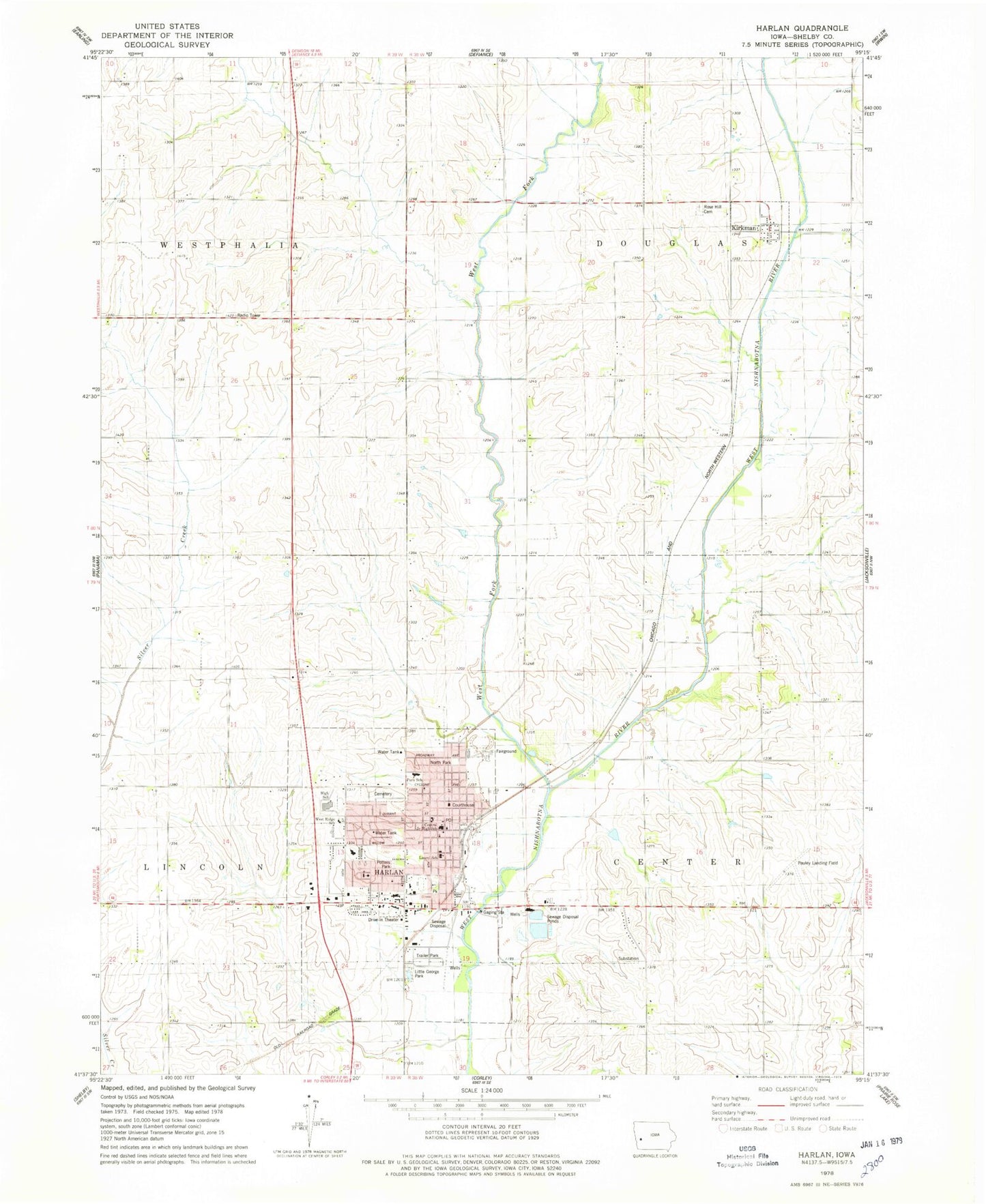
Historical USGS topographic quad map of Harlan in the state of Iowa. Map scale may vary for some years, but is generally around 1:24,000. Print size is approximately 24" x 27"
This quadrangle is in the following counties: Shelby.
The map contains contour lines, roads, rivers, towns, and lakes. Printed on high-quality waterproof paper with UV fade-resistant inks, and shipped rolled.
Contains the following named places: Abundant Life Fellowship, ANP Foot and Ankle Clinic, Beebe Park, Bethel Baptist Church, Christs Church, Church of Christ, City of Harlan, City of Kirkman, Congregational United Church of Christ, Dinesen Prairie State Preserve Wildlife Area, Elm Crest Retirement Community, First Assembly of God Church, First Baptist Church, First Christian Church, First United Methodist Church, Foot Clinic, Grace Baptist Church, Harlan, Harlan Cemetery, Harlan City Hall, Harlan Community High School, Harlan Community Intermediate School, Harlan Community Library, Harlan Community Middle School, Harlan Community Primary School, Harlan Crest Home, Harlan Elevator, Harlan Fire Department, Harlan Golf and Country Club, Harlan Police Department, Harlan Post Office, Harlan Trailer Court, Harlan Vision Clinic, Harlan Wastewater Treatment Plant, Immanuel Lutheran Church, Iowa Western Community College - Shelby County Center, JayCee Park, JJ Jensen Baseball and Softball Fields, Kingdom Hall of Jehovahs Witnesses, Kirkman, Kirkman Community Hall, Kirkman Fire Department, Kirkman Post Office, Kirkman United Methodist Church, Laurel School, Leinen Park, Leland Log Cabin, Little George Lake, Little George Park, Markham Family Dental Associates Center, McIntosh Log Cabin, Medivac Ambulance Corporation, Merrill Field, Midwest Eye Care Center, Myrtue Medical Center, Myrtue Memorial Hospital Heliport, New Park School, New Testament Baptist Church, Nielsen RV Park, North Park, Pauley Landing Field, Peace Lutheran Church, Pioneer Park, Potters Park, Prairie Habitat Area, Rabbit Hallow Cemetery, Reing River Access, Reorganized Church of Jesus Christ of Latter Day Saints, Rose Hill Cemetery, Rosman Glendale Farms Recreation Area, Rosman-Glendale Farm Golf Course, Saint Michaels Catholic Church, Saint Pauls Episcopal Church, Seventh Day Adventist Church, Shelby County, Shelby County Catholic School, Shelby County Courthouse, Shelby County Fairgrounds, Shelby County Historical Museum, Shelby County Medical Clinic, Shelby County Sheriffs Department, Shelby County Speedway, Somida Post Office, Stamp Aquatic Center, Township of Center, Township of Douglas, Vet's Memorial Auditorium, West Fork West Nishnabotna River, Westridge Mobile Home Park, ZIP Code: 51537


