MyTopo
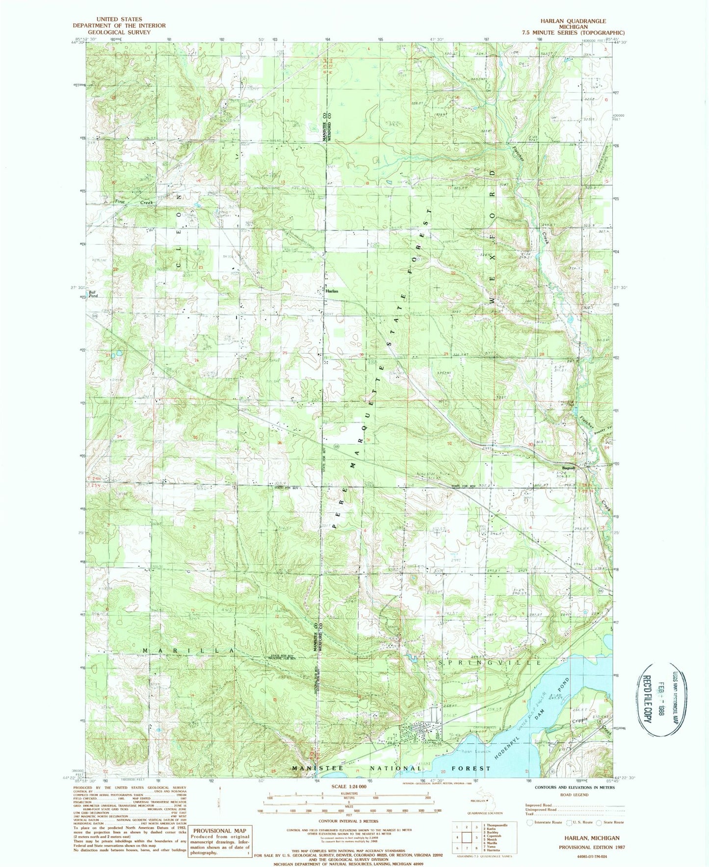
Classic USGS Harlan Michigan 7.5'x7.5' Topo Map
Couldn't load pickup availability
Historical USGS topographic quad map of Harlan in the state of Michigan. Map scale may vary for some years, but is generally around 1:24,000. Print size is approximately 24" x 27"
This quadrangle is in the following counties: Manistee, Wexford.
The map contains contour lines, roads, rivers, towns, and lakes. Printed on high-quality waterproof paper with UV fade-resistant inks, and shipped rolled.
Contains the following named places: Bagnall, Bagnall Station, Bagnell Post Office, Brethren Cemetery, Burton Trailer Park, Carpenter School, Cotton Creek, Cripple Creek, Crowell Family Cemetery, Harlan, Harlan Post Office, Harlan Station, Kingdom Hall, Mesick RV Park, Minar Memorial Cemetery, Sneaky Valley, Spruce Hollow Campground, Township of Springville, Township of Wexford