MyTopo
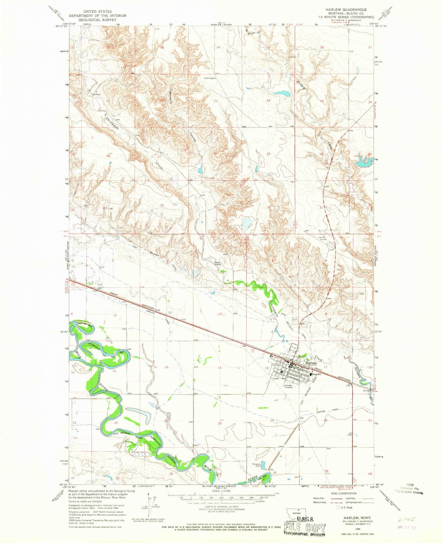
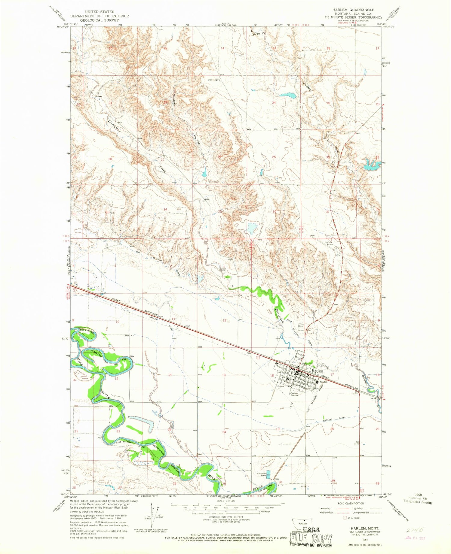
Classic USGS Harlem Montana 7.5'x7.5' Topo Map
Couldn't load pickup availability
Historical USGS topographic quad map of Harlem in the state of Montana. Map scale may vary for some years, but is generally around 1:24,000. Print size is approximately 24" x 27"
This quadrangle is in the following counties: Blaine.
The map contains contour lines, roads, rivers, towns, and lakes. Printed on high-quality waterproof paper with UV fade-resistant inks, and shipped rolled.
Contains the following named places: 32N22E11DBCA01 Well, 32N22E21ABA_01 Well, 32N22E21DBAB01 Well, American Lutheran Church, Assembly of God Church, Blaine County Ambulance II, Borders Coulee, BR-43 Dam, City of Harlem, Columbia Grain International Incorporated Elevator, Equity Co-Operative Association Elevator, First Presbyterian Church, Forgey Creek, Frog Dam, Harlem, Harlem Airport, Harlem Canal, Harlem Cemetery, Harlem Christian Liberty Church, Harlem Elementary School, Harlem Evangelical Church of North America, Harlem Golf Course, Harlem High School, Harlem Police Department, Harlem Post Office, Harlem Public Library, Harlem Volunteer Fire Department, Harlem Water Supply Dam, Lions Club Park, Missouri Synod Lutheran Church, North Harlem Colony, North Harlem Colony Census Designated Place, North Harlem Colony School, Saint Stephens Church, Saint Thomas the Apostle Church, The Church of Jesus Christ of Latter Day Saints, United Methodist Church, West Forgey Creek


