MyTopo
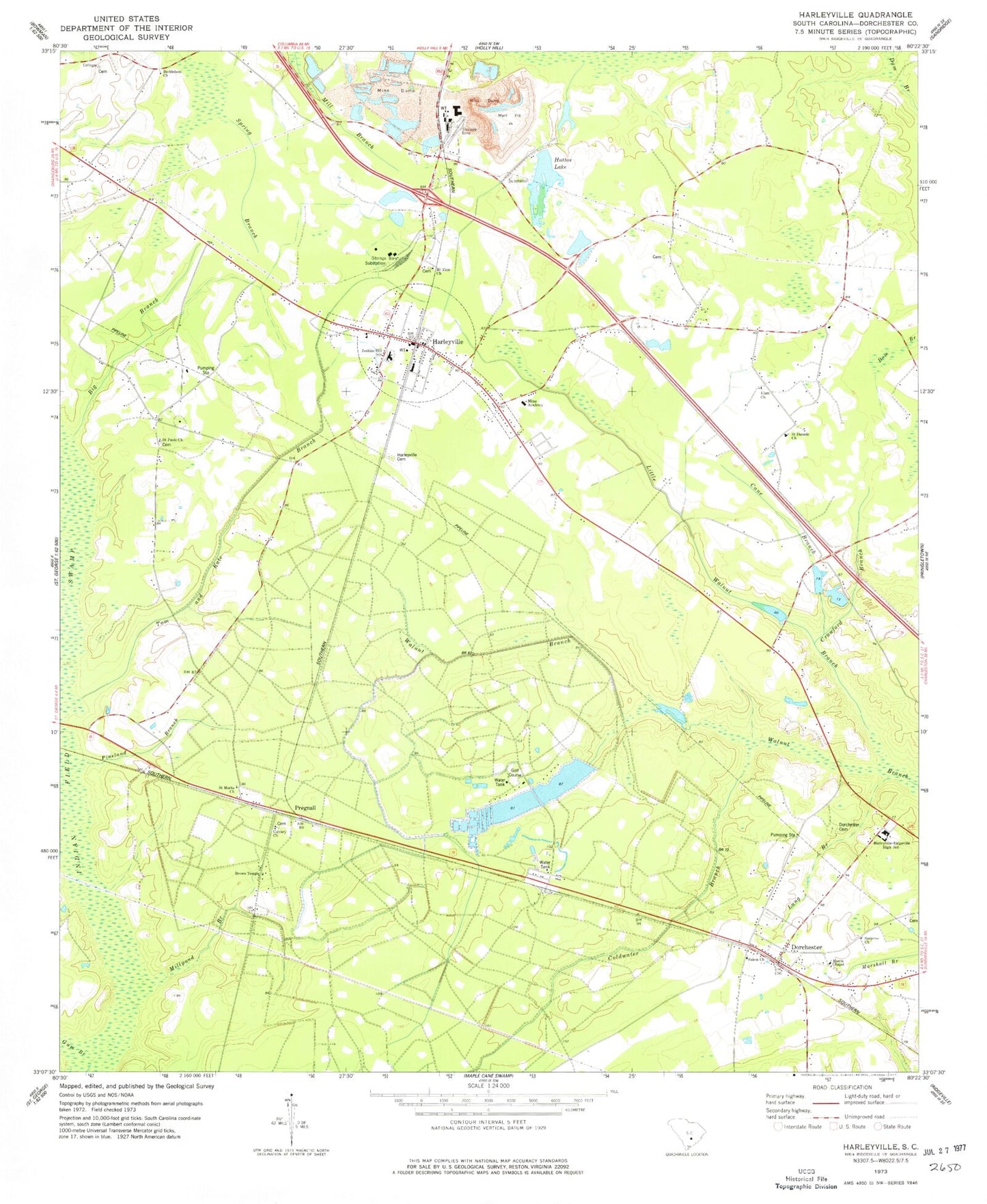
Classic USGS Harleyville South Carolina 7.5'x7.5' Topo Map
Couldn't load pickup availability
Historical USGS topographic quad map of Harleyville in the state of South Carolina. Map scale may vary for some years, but is generally around 1:24,000. Print size is approximately 24" x 27"
This quadrangle is in the following counties: Dorchester.
The map contains contour lines, roads, rivers, towns, and lakes. Printed on high-quality waterproof paper with UV fade-resistant inks, and shipped rolled.
Contains the following named places: Bell School, Bethlehem Church, Big Branch, Brown Temple, Calvary Cemetery, Calvary Church, Cane Branch, Coldwater Branch, Crawford Branch, Dorchester, Dorchester Cemetery, Dorchester County Career School, Dorchester Fire Department Station 7, Dorchester Post Office, Elam Church, First Baptist Church of Harleyville, Giant, Gifford Hill Marl Pit, Gum Branch, Harleyville, Harleyville - Ridgeville Elementary School, Harleyville Cemetery, Harleyville Division, Harleyville Fire Department Station 3, Harleyville Police Department, Harleyville Post Office, Harleyville Town Hall, Herndons Pond, Herndons Pond Dam D-2551, Huttos Lake, Huttos Lake Dam D-2550, Jenkins Hill Elementary School, Lang Branch, Lincoln Green, Little Walnut Branch, Millpond Branch, Mims Academy, Morris Chapel, Mount Zion Cemetery, Mount Zion Church, Pineland Branch, Pregnall, Pregnall School, Railroad Pond, Railroad Pond Dam D-2548, Saint Daniels Church, Saint Marks Church, Saint Paul School, Saint Pauls Church, Salem Church, South Carolina Noname 08019 D-3467 Dam, Surprise Church, Tom and Kate Branch, Town of Harleyville, White Pond School, Woodland High School, ZIP Code: 29437


