MyTopo
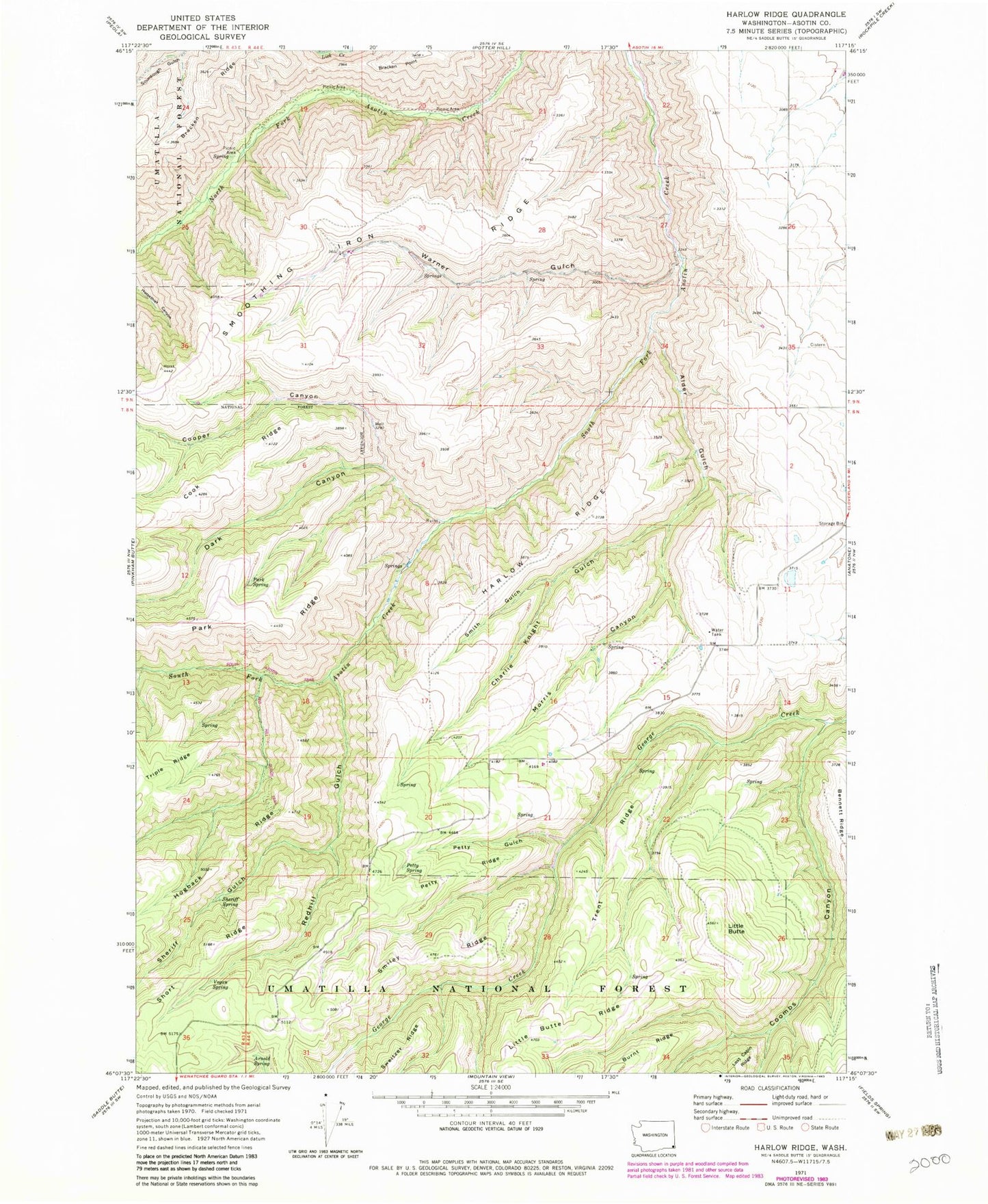
Classic USGS Harlow Ridge Washington 7.5'x7.5' Topo Map
Couldn't load pickup availability
Historical USGS topographic quad map of Harlow Ridge in the state of Washington. Map scale may vary for some years, but is generally around 1:24,000. Print size is approximately 24" x 27"
This quadrangle is in the following counties: Asotin.
The map contains contour lines, roads, rivers, towns, and lakes. Printed on high-quality waterproof paper with UV fade-resistant inks, and shipped rolled.
Contains the following named places: Alder Gulch, Arnold Spring, Arthur Weiss Ranch, Black Ranch, Charlie Knight Gulch, Charlie Knight Ranch, Coombs Canyon, Cooper Canyon, Dark Canyon, Dark Canyon Creek, E A Parsons Ranch, Harlow Ridge, Jim Barkley Ranch, Little Butte, Morris Canyon, Park Spring, Petty Gulch, Petty Ridge, Petty Spring, Raymond Blankenship Ranch, Red Hill Gulch Trail, Redhill Gulch, Sheriff Gulch, Sheriff Spring, Smiley Ridge, Smith Gulch, South Asotin Trail, Trent Ridge, Vogan Spring, Warner Gulch