MyTopo
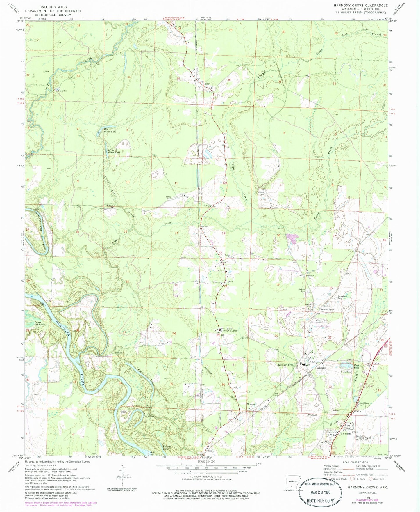
Classic USGS Harmony Grove Arkansas 7.5'x7.5' Topo Map
Couldn't load pickup availability
Historical USGS topographic quad map of Harmony Grove in the state of Arkansas. Map scale may vary for some years, but is generally around 1:24,000. Print size is approximately 24" x 27"
This quadrangle is in the following counties: Ouachita.
The map contains contour lines, roads, rivers, towns, and lakes. Printed on high-quality waterproof paper with UV fade-resistant inks, and shipped rolled.
Contains the following named places: Amy, Bear Branch, Bethel Temple, Big Dixon Lake, Broughton Cemetery, Burks Pond, Camark, Chapel Creek, Dixon Lake Slough, Faith Church, Fishers Lake, Freeo Creek, Harmony Grove, Harmony Grove Cemetery, Harmony Grove Elementary School, Harmony Grove High School, Kemp, Kent, Little Dixon Lake, Lower Old River, Martin Cemetery, Ouachita County Volunteer Fire Department Fire District 1 Amy Station 5, Ouachita County Volunteer Fire Department Fire District 1 Harmony Grove Station 1, Ouachita County Volunteer Fire Department Fire District 1 Pine Lake Station 3, Pine Lake, Rumph Cemetery, Saint Mary Church, Saint Paul Cemetery, Saint Paul Church, Shady Grove Baptist Church, Toney Cemetery, Toney Old River, Township of Carroll, Township of Valley, Union Grove Community Center, Vanduzer, Velie, Velie Church of God in Christ, Warner