MyTopo
Classic USGS Harmony Arkansas 7.5'x7.5' Topo Map
Couldn't load pickup availability
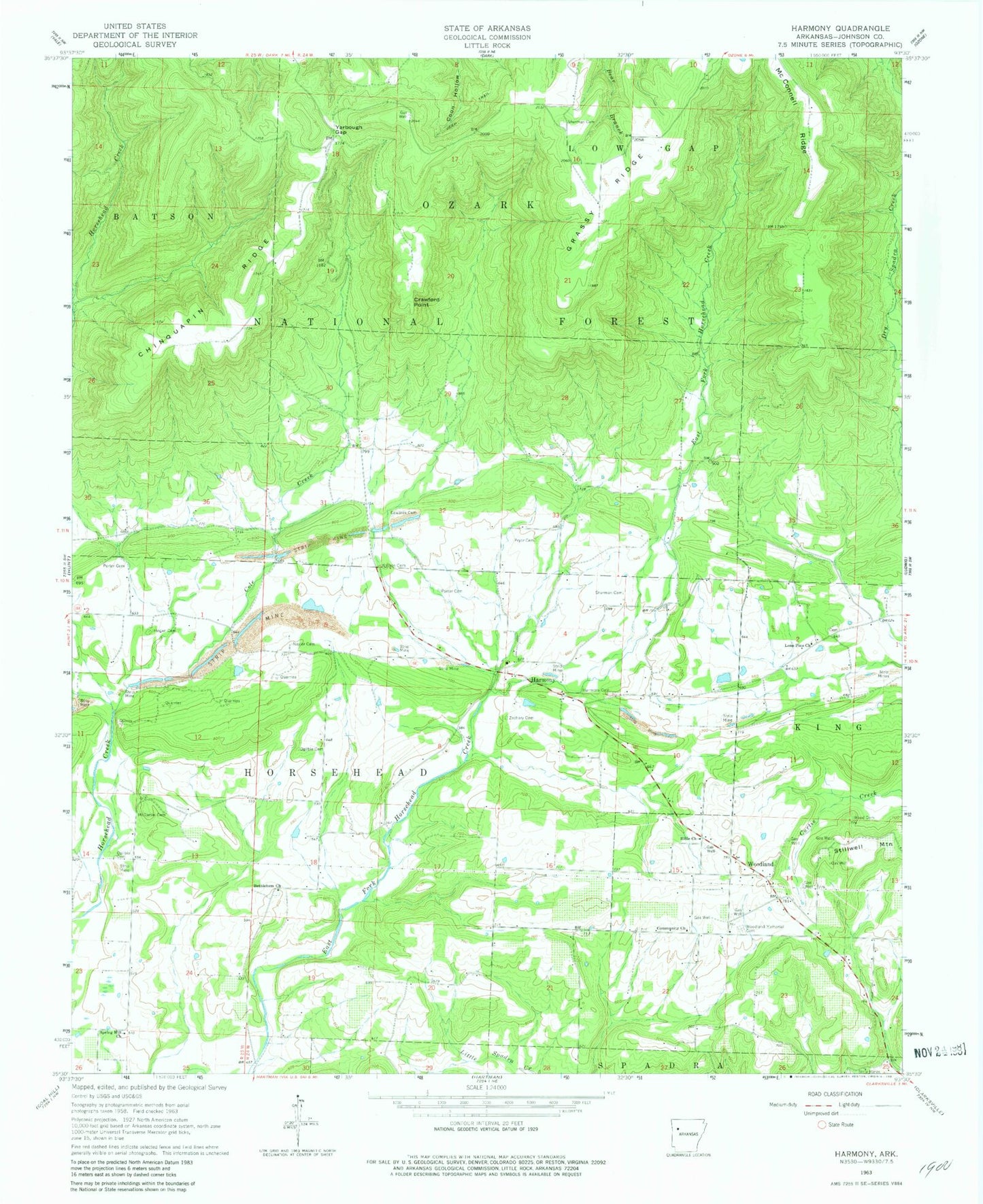
Historical USGS topographic quad map of Harmony in the state of Arkansas. Map scale may vary for some years, but is generally around 1:24,000. Print size is approximately 24" x 27"
This quadrangle is in the following counties: Johnson.
The map contains contour lines, roads, rivers, towns, and lakes. Printed on high-quality waterproof paper with UV fade-resistant inks, and shipped rolled.
Contains the following named places: Bethlehem Church, Bible Church, Chinquapin Ridge, Clarksville Gas Field, Cole Creek, Community Church, Cove Creek, Crawford Point, Dale, Edwards Cemetery, Grass Ridge, Harmony, Harmony Cemetery, Harmony Presbyterian Church, Hogan Cemetery, Johnson County Rural Fire Department Station 2 Harmony, Johnson County Rural Fire District 2 Woodland, Johnson Farm Lines Airport, Linville Gas Field, Lone Pine, Lone Pine Church, McConnell Ridge, McDaniel Cemetery, Naylor Cemetery, Ogilbie Cemetery, Porter Cemetery, Pryor Cemetery, Sherman Cemetery, Springhill Presbyterian Church, Township of Horsehead, Township of Low Gap, Watson Cemetery, Wood Cemetery, Woodland, Woodland Baptist Church, Woodland Memorial Cemetery, Yarbough Gap, Zachary Cemetery, ZIP Code: 72830


