MyTopo
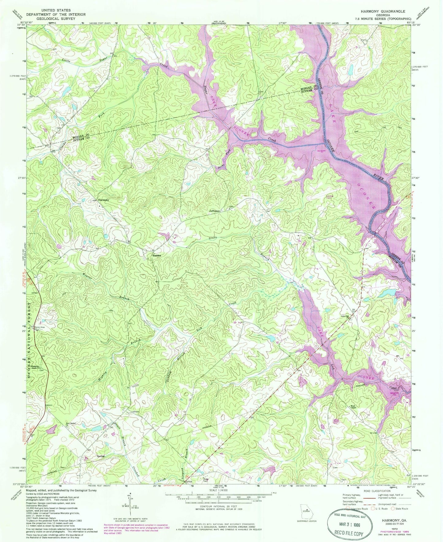
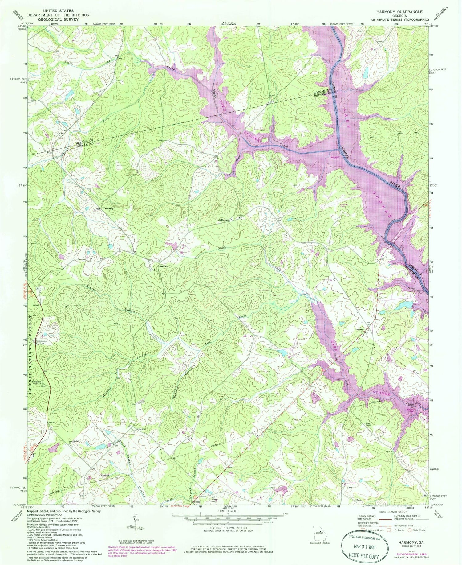
Classic USGS Harmony Georgia 7.5'x7.5' Topo Map
Couldn't load pickup availability
Historical USGS topographic quad map of Harmony in the state of Georgia. Map scale may vary for some years, but is generally around 1:24,000. Print size is approximately 24" x 27"
This quadrangle is in the following counties: Greene, Morgan, Putnam.
The map contains contour lines, roads, rivers, towns, and lakes. Printed on high-quality waterproof paper with UV fade-resistant inks, and shipped rolled.
Contains the following named places: Beall Pond Dam One, Beall Pond One, Clarks Fork, Dance Branch, Denham Branch, Dodson Pond, Dodson Pond Dam, Enterprise School, Florence School, Glade Branch, Glades Cross-Roads, Harmony, Harmony Church, Henderson Grove Church, Highlog Branch, Jacks Fork, Jefferson, Jefferson Church, Jones Grove School, Kraft Lake, Kraft Lake Dam, Lake Oconee, Lake Oconee Chapel, Little Sugar Creek, Lone Oak Church, New Bethel Church, Oconee Ranger Station, Phoenix School, Putnam - Morgan County Sugar Creek Fire Department Station 11, Putnam County Fire Rescue Department Station 3, Reeses Lake, Reeses Lake Dam, Reids Ferry, Rock Eagle Lake 4-H Club Roadside Park Picnic Area, Rudden, Sebastian Cove Airport, Spivey, Sugar Creek, Sugar Creek Boat Ramp, Tanyard Branch, Turnwold, Walker Lake, Walker Lake Dam, Ward Chapel, Weaver Branch


