MyTopo
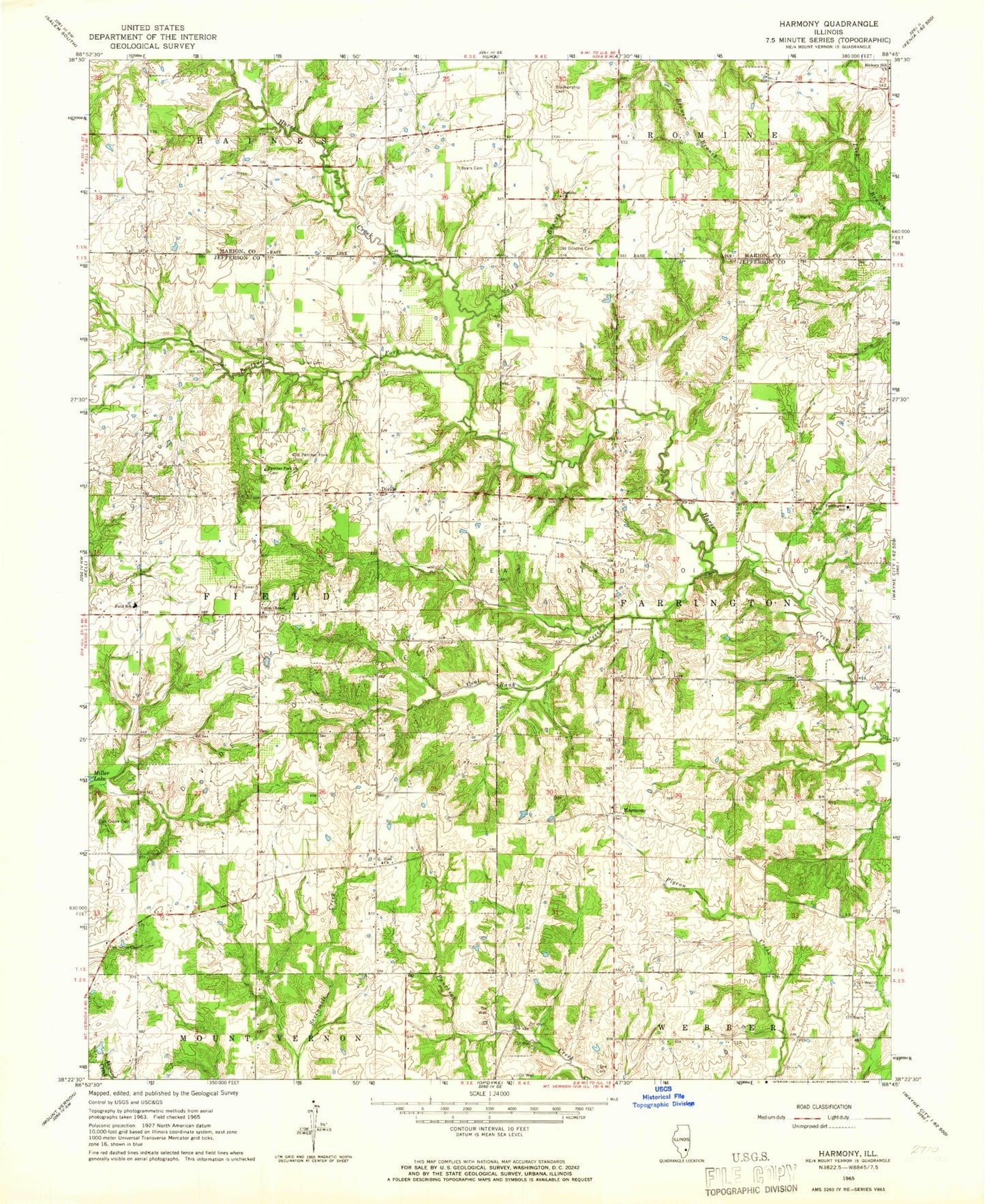
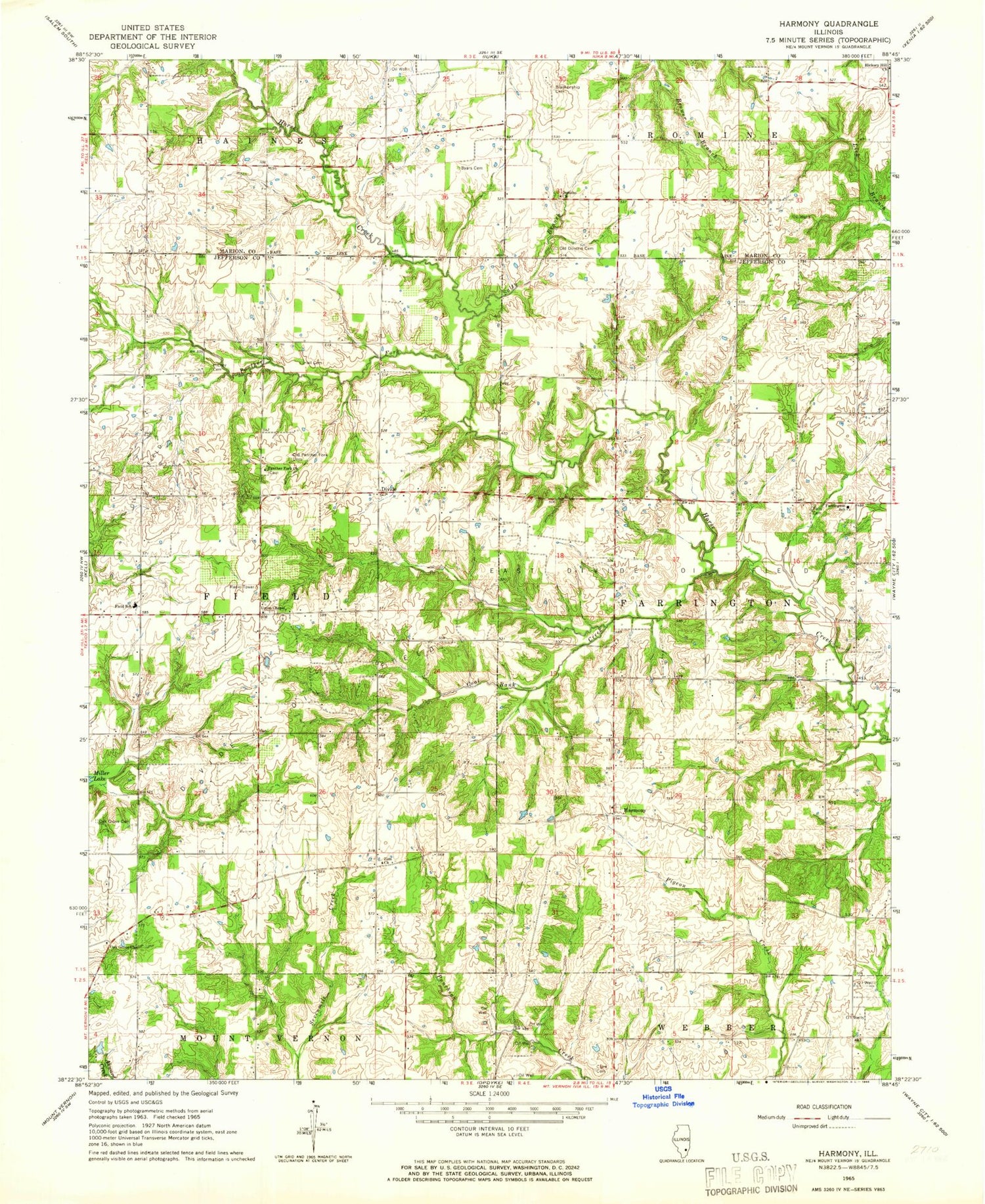
Classic USGS Harmony Illinois 7.5'x7.5' Topo Map
Couldn't load pickup availability
Historical USGS topographic quad map of Harmony in the state of Illinois. Map scale may vary for some years, but is generally around 1:24,000. Print size is approximately 24" x 27"
This quadrangle is in the following counties: Jefferson, Marion.
The map contains contour lines, roads, rivers, towns, and lakes. Printed on high-quality waterproof paper with UV fade-resistant inks, and shipped rolled.
Contains the following named places: Beard School, Blankenship Cemetery, Byars Cemetery, Byars School, Center School, Clark Cemetery, Climax School, Coal Bank Creek, Divide, Divide Oil Field, Donahoe Prairie School, Donoho Church, Donoho Prairie Cemetery, East Divide Oil Field, Falley Cemetery, Farrington Elementary School, Farrington School, Field Elementary School, Forest Hill School, George College School, Green School, Hall Cemetery, Harmony, Harmony Cemetery, Hickey Cemetery, Hickory Hill, Hickory Hill Church, Milliner School, Myer School, Oak Grove Cemetery, Oak Grove Church, Old Donoho Prairie Cemetery, Panther Fork, Panther Fork Cemetery, Panther Fork Church, Pigeon, Salty Branch, Simmons Cemetery, Simmons School, Township of Farrington, Township of Field, Union Chapel, Union Chapel Cemetery, Whiteoak School, Zion Church, ZIP Code: 62889


