MyTopo
Classic USGS Harold SE Florida 7.5'x7.5' Topo Map
Couldn't load pickup availability
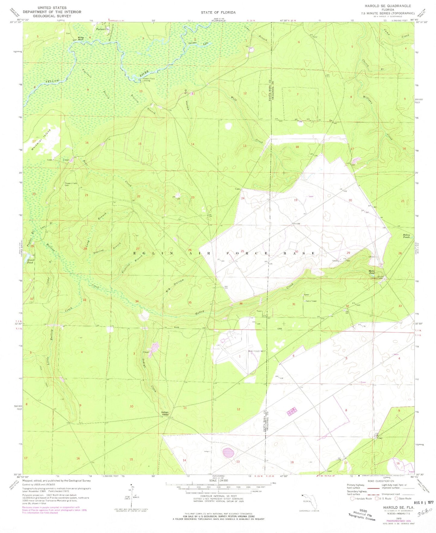
Historical USGS topographic quad map of Harold SE in the state of Florida. Map scale may vary for some years, but is generally around 1:24,000. Print size is approximately 24" x 27"
This quadrangle is in the following counties: Okaloosa, Santa Rosa.
The map contains contour lines, roads, rivers, towns, and lakes. Printed on high-quality waterproof paper with UV fade-resistant inks, and shipped rolled.
Contains the following named places: Atwell Pond, Bear Creek, Big Hollow, Broxson Branch, Burnt Grocery Creek, Camp Branch, Cherry Branch, Crane Branch, Dry Hollow, Eglin Air Force Base Division, Fishtrap Branch, Flowers Field Cemetery, Flowers Field Landing, Grimes Lake, Holley Creek, Holley Pond, Indigo Creek, Indigo Head, Little Boiling Creek, Long Branch, Loon Branch, Metts Pond, Miller Bluff, Parkerville, Poplar Branch, Roaring Branch, Tigertail Branch, Whitmier Island, Wolf Creek


