
MyTopo
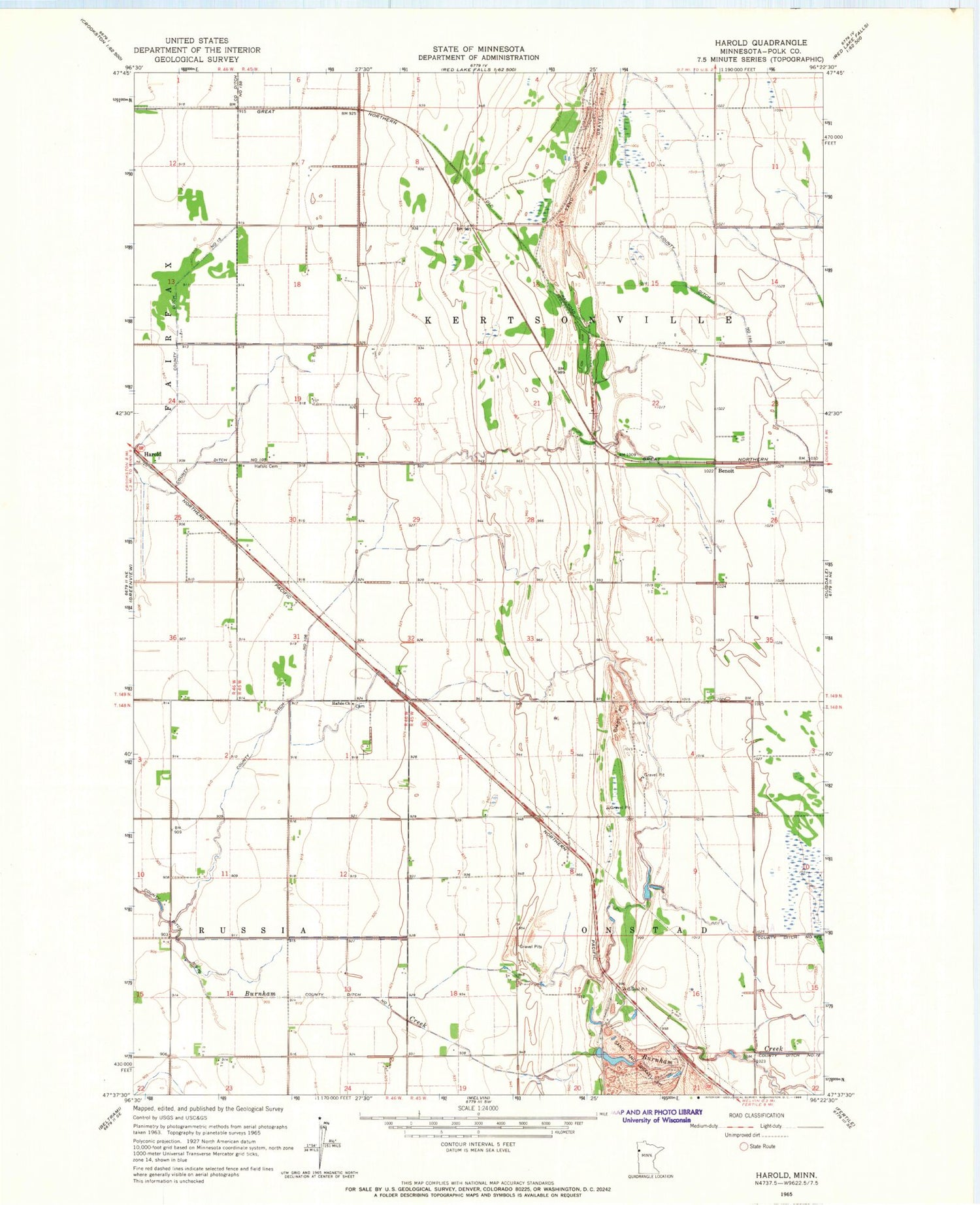
Classic USGS Harold Minnesota 7.5'x7.5' Topo Map
Regular price
$16.95
Regular price
Sale price
$16.95
Unit price
per
Couldn't load pickup availability
Historical USGS topographic quad map of Harold in the state of Minnesota. Map scale may vary for some years, but is generally around 1:24,000. Print size is approximately 24" x 27"
This quadrangle is in the following counties: Polk.
The map contains contour lines, roads, rivers, towns, and lakes. Printed on high-quality waterproof paper with UV fade-resistant inks, and shipped rolled.
Contains the following named places: Benoit, County Ditch Number Eleven, County Ditch Number One Hundred Five, County Ditch Number One Hundred Forty, County Ditch Number One Hundred Six, Hafslo Cemetery, Hafslo Chapel, Harold, Lawton Post Office, Township of Kertsonville, Township of Onstad


