MyTopo
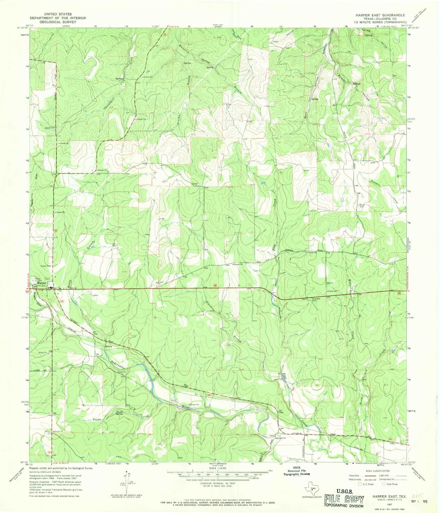
Classic USGS Harper East Texas 7.5'x7.5' Topo Map
Couldn't load pickup availability
Historical USGS topographic quad map of Harper East in the state of Texas. Map scale may vary for some years, but is generally around 1:24,000. Print size is approximately 24" x 27"
This quadrangle is in the following counties: Gillespie.
The map contains contour lines, roads, rivers, towns, and lakes. Printed on high-quality waterproof paper with UV fade-resistant inks, and shipped rolled.
Contains the following named places: Banta Branch, Brushy Branch, Circle Ranch Airport, Drill Hollow, Harper, Harper Census Designated Place, Harper Division, Harper Volunteer Fire Department and Emergency Medical Services, KRVL-FM (Kerrville), Lone Star Flying Service, Pecan Creek, Pecan Spring, Priess Hollow, Rogers Draw, Stuckens Branch, Walnut Creek