MyTopo
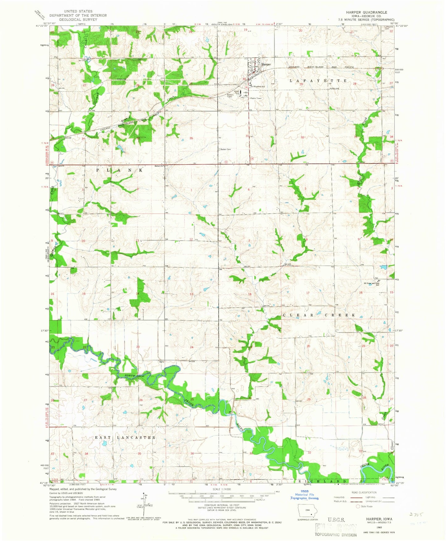
Classic USGS Harper Iowa 7.5'x7.5' Topo Map
Couldn't load pickup availability
Historical USGS topographic quad map of Harper in the state of Iowa. Map scale may vary for some years, but is generally around 1:24,000. Print size is approximately 24" x 27"
This quadrangle is in the following counties: Keokuk.
The map contains contour lines, roads, rivers, towns, and lakes. Printed on high-quality waterproof paper with UV fade-resistant inks, and shipped rolled.
Contains the following named places: Baden, Baden Cemetery, Baden Post Office, Bethel Church, Bethel Methodist Cemetery, Branch Creek, Brater Cemetery, City of Harper, Garibaldi Cemetery, Harper, Harper Post Office, Lafayette Cemetery, Old Bethel Cemetery, Saint Elizabeth Cemetery, Saint Elizabeth School, Saint Elizabeths Church, Saints Peter and Paul Catholic Cemetery, Saints Peter and Paul Church, Saints Peter and Paul School, Township of Clear Creek, Township of Plank, Warner's Mill Post Office, ZIP Code: 52231