MyTopo
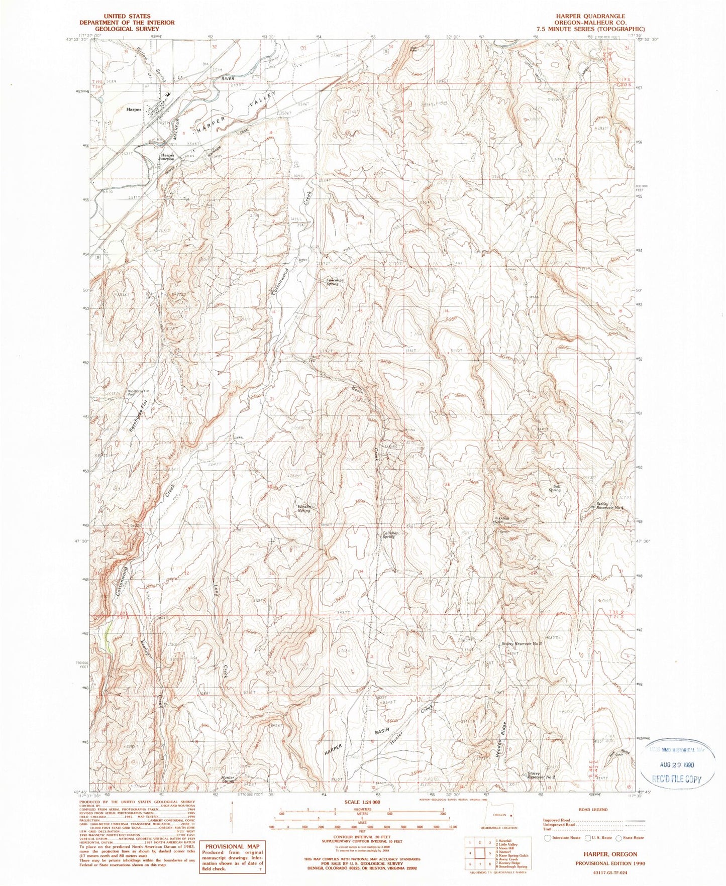
Classic USGS Harper Oregon 7.5'x7.5' Topo Map
Couldn't load pickup availability
Historical USGS topographic quad map of Harper in the state of Oregon. Map scale may vary for some years, but is generally around 1:24,000. Print size is approximately 24" x 27"
This quadrangle is in the following counties: Malheur.
The map contains contour lines, roads, rivers, towns, and lakes. Printed on high-quality waterproof paper with UV fade-resistant inks, and shipped rolled.
Contains the following named places: Basin Creek, Buckaroo Cabin, Callahan Spring, Cottonwood Creek Ranch Airport, Fenceline Spring, Harper, Harper Basin, Harper Junction, Harper Post Office, Harper School, Harper Southside Canal, High Point, Hunter Creek, Hunter Spring, Keeney Creek, Long Creek, Racehorse Flat, Racehorse Well, Salt Spring, Stacey Reservoir Number Four, Stacey Reservoir Number Three, Stacey Reservoir Number Two, Willow Spring Creek, Winter Spring