MyTopo
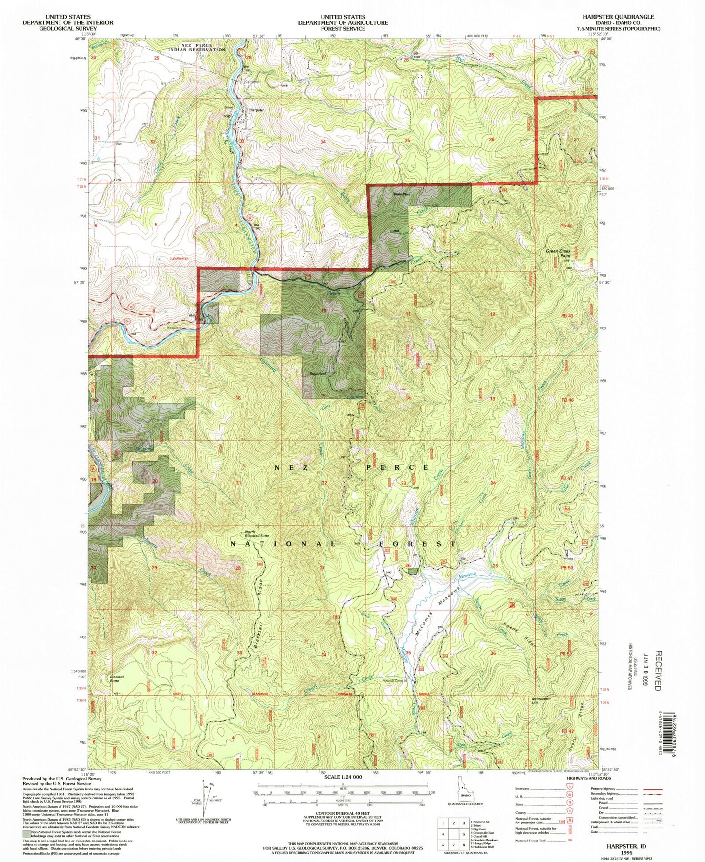
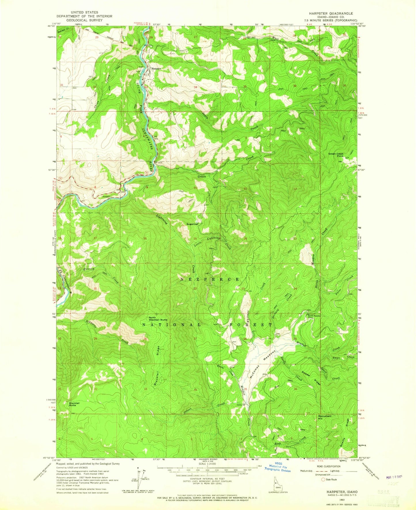
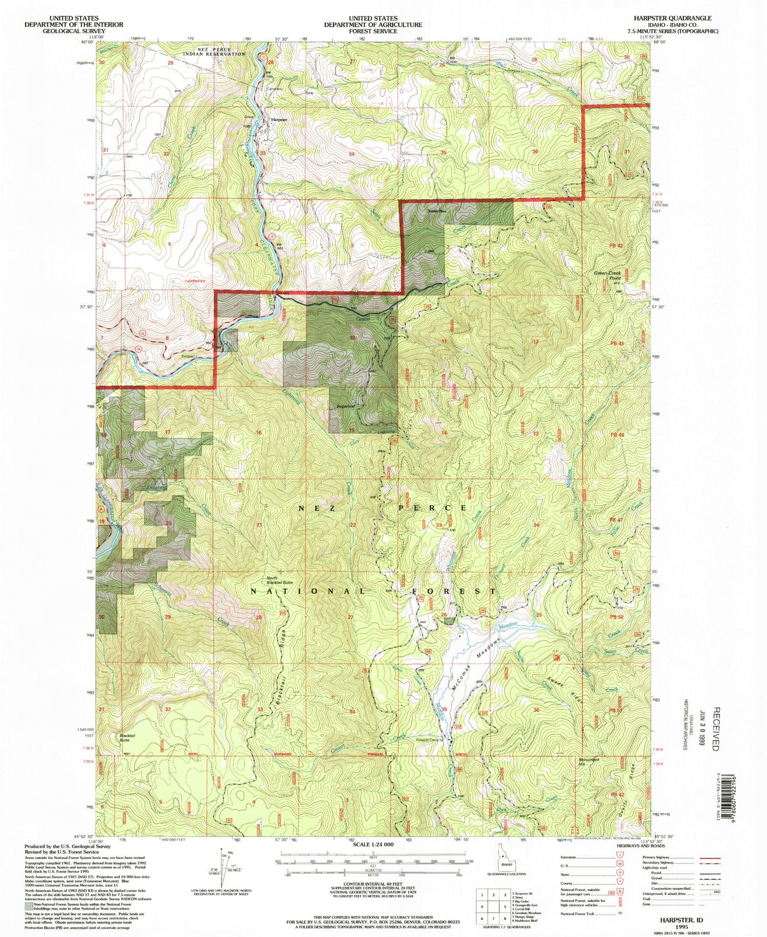
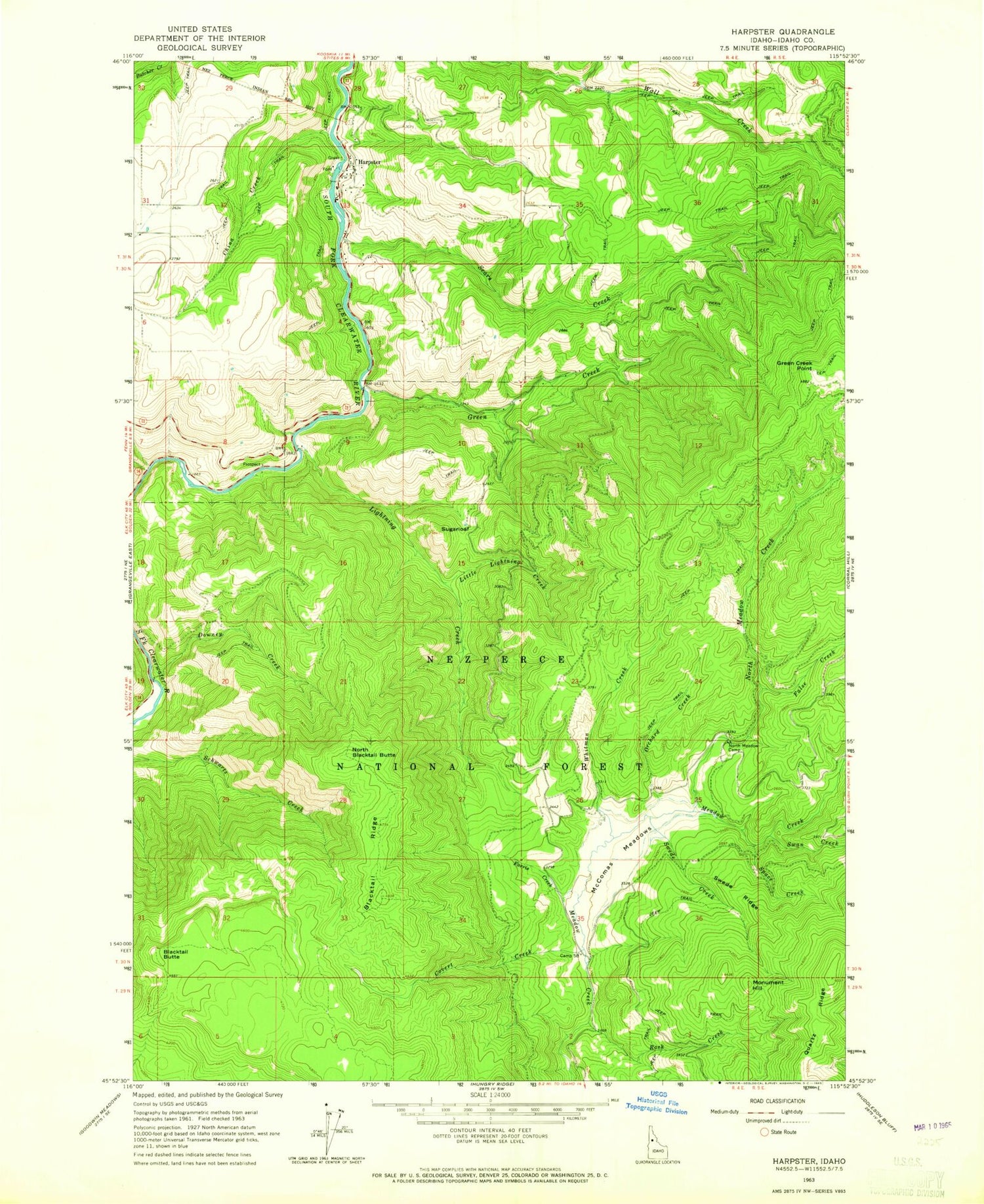
Classic USGS Harpster Idaho 7.5'x7.5' Topo Map
Couldn't load pickup availability
Historical USGS topographic quad map of Harpster in the state of Idaho. Typical map scale is 1:24,000, but may vary for certain years, if available. Print size: 24" x 27"
This quadrangle is in the following counties: Idaho.
The map contains contour lines, roads, rivers, towns, and lakes. Printed on high-quality waterproof paper with UV fade-resistant inks, and shipped rolled.
Contains the following named places: Blacktail Ridge, China Creek, Covert Creek, Doe Creek, Downey Creek, False Creek, Farris Creek, Green Creek, Lightning Creek, Little Lightning Creek, McComas Meadows, North Meadow Camp, North Meadow Creek, Orchard Creek, Rock Creek, Sears Creek, Space Creek, Sugarloaf, Swan Creek, Swede Creek, Swede Ridge, Whitman Creek, Kiddler Place, Potlatch Camp 58, Blacktail Butte, Green Creek Point, Monument Hill, North Blacktail Butte, Harpster, McComas Ranch (historical), Harpster Volunteer Fire Department


