MyTopo
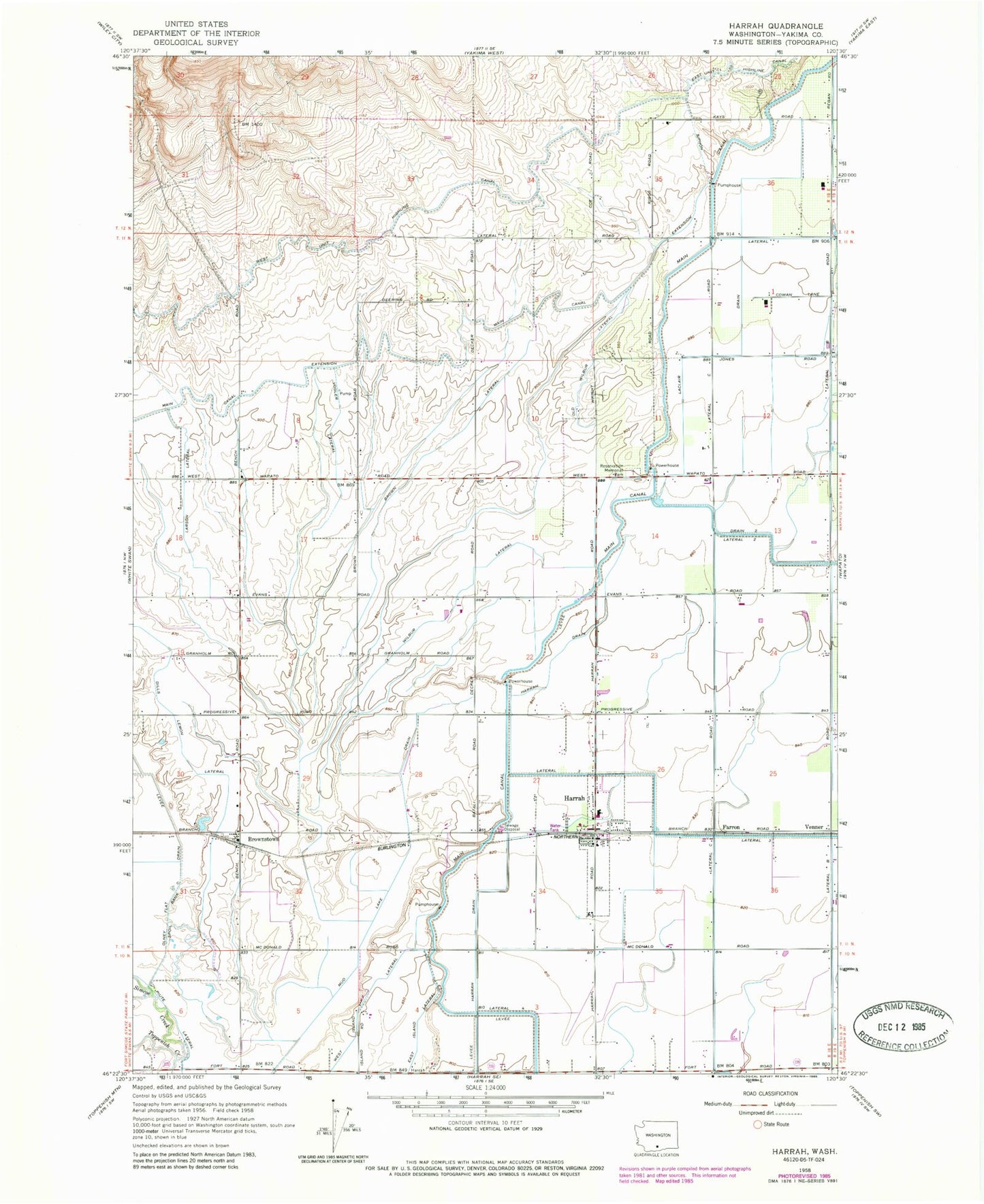
Classic USGS Harrah Washington 7.5'x7.5' Topo Map
Couldn't load pickup availability
Historical USGS topographic quad map of Harrah in the state of Washington. Map scale may vary for some years, but is generally around 1:24,000. Print size is approximately 24" x 27"
This quadrangle is in the following counties: Yakima.
The map contains contour lines, roads, rivers, towns, and lakes. Printed on high-quality waterproof paper with UV fade-resistant inks, and shipped rolled.
Contains the following named places: Brown Lateral, Brownstown, Brownstown Post Office, Dills Lemon Lateral, East Island Lateral, Farron, Harrah, Harrah Community Christian School, Harrah Elementary School, Harrah Feedlot, Harrah Post Office, Labbee Field, Laclair Drain, Larson Lateral, Lateral 1, Main Canal, Mud Lake Drain, Old Wilbur Lateral, Olney Flat Drain, Piute Lateral, Reservation Memorial Park, Simcoe Creek, Town of Harrah, Venner, Vogler Lateral, Wilbur Lateral, Yakima County Fire District 5 Station 2 Brownstown, Yakima County Fire District 5 Station 3 Harrah, ZIP Code: 98951