MyTopo
Classic USGS Harrington Lake Maine 7.5'x7.5' Topo Map
Couldn't load pickup availability
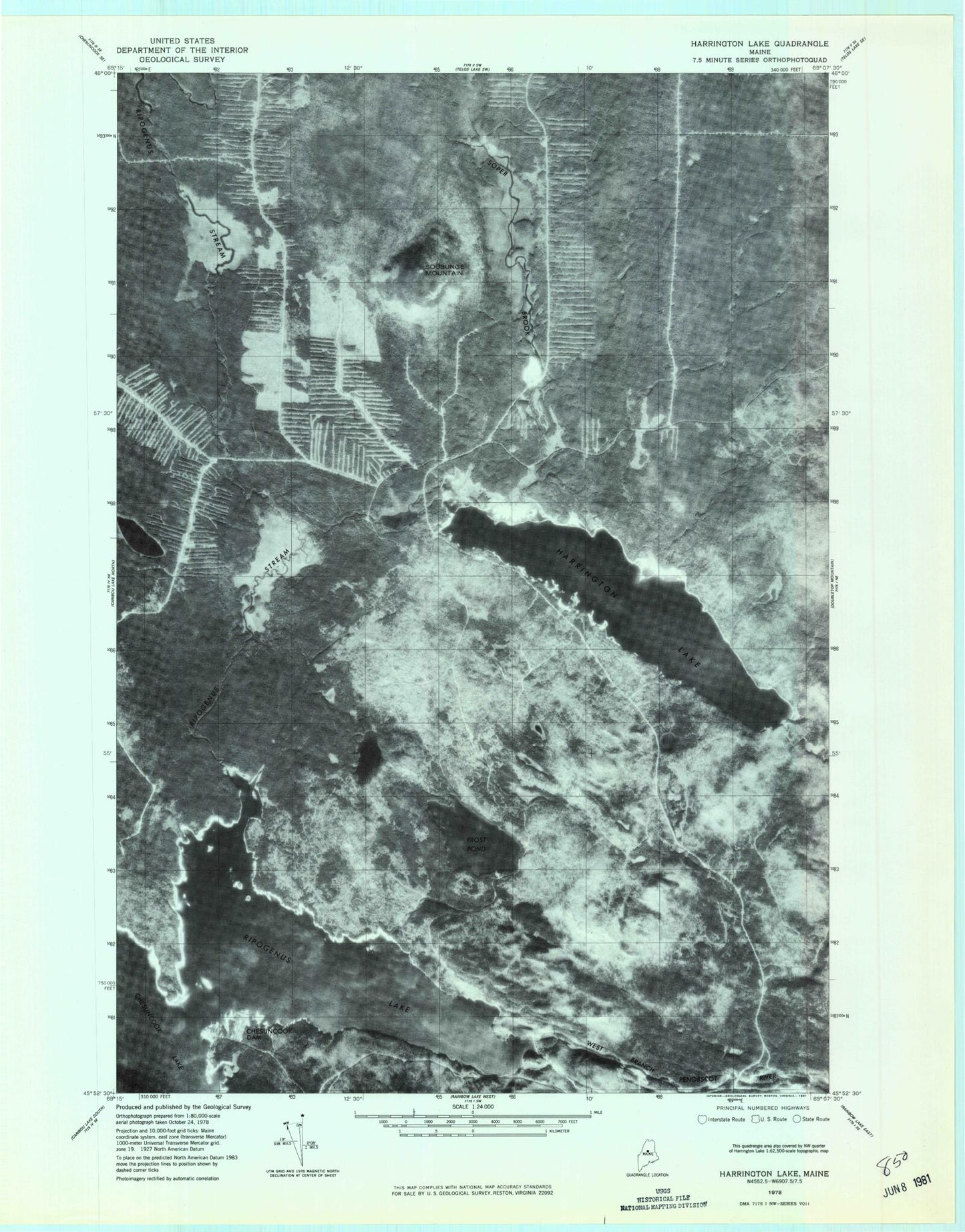
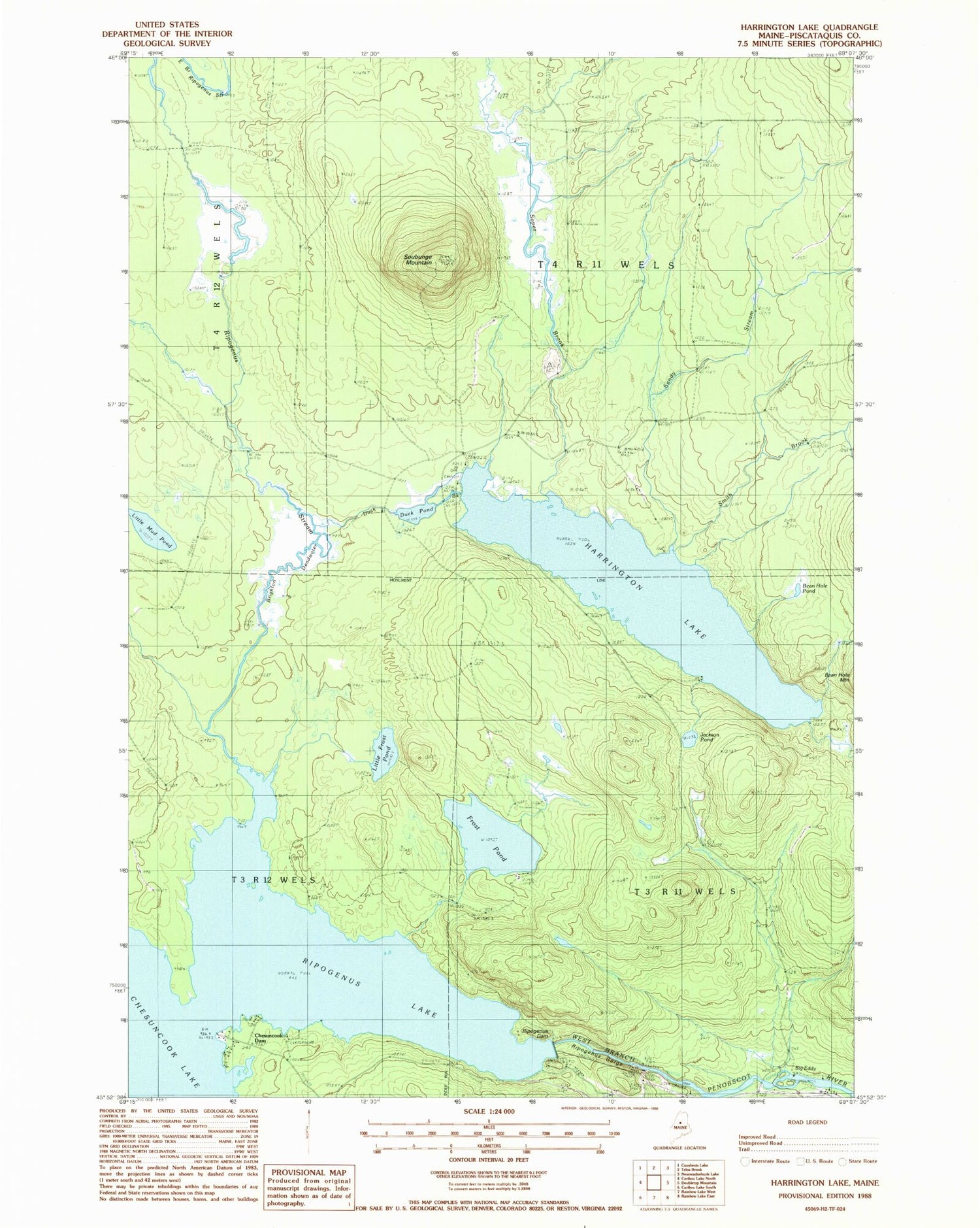
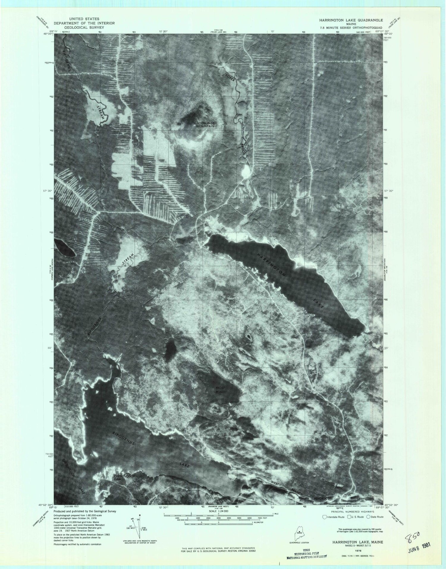
Historical USGS topographic quad map of Harrington Lake in the state of Maine. Map scale may vary for some years, but is generally around 1:24,000. Print size is approximately 24" x 27"
This quadrangle is in the following counties: Piscataquis.
The map contains contour lines, roads, rivers, towns, and lakes. Printed on high-quality waterproof paper with UV fade-resistant inks, and shipped rolled.
Contains the following named places: Allagash Gateway Campsite, Bean Hole Pond, Big Eddy, Brighton Deadwater, Chesuncook Dam, Chesuncook Forestry District Heliport, Chesuncook-Ripogenus Lake, Duck Brook, Duck Pond, Frost Pond, Frost Pond Campground, Harrington Lake, Harrington Lake Dam, Jackson Pond, Little Frost Pond, Little Mud Pond, Ripogenus Dam, Ripogenus Gorge, Ripogenus Lake, Ripogenus Stream, Sandy Stream, Smith Brook, Soper Brook, Soubunge Mountain, T3 R11 WELS, T4 R11 WELS