MyTopo
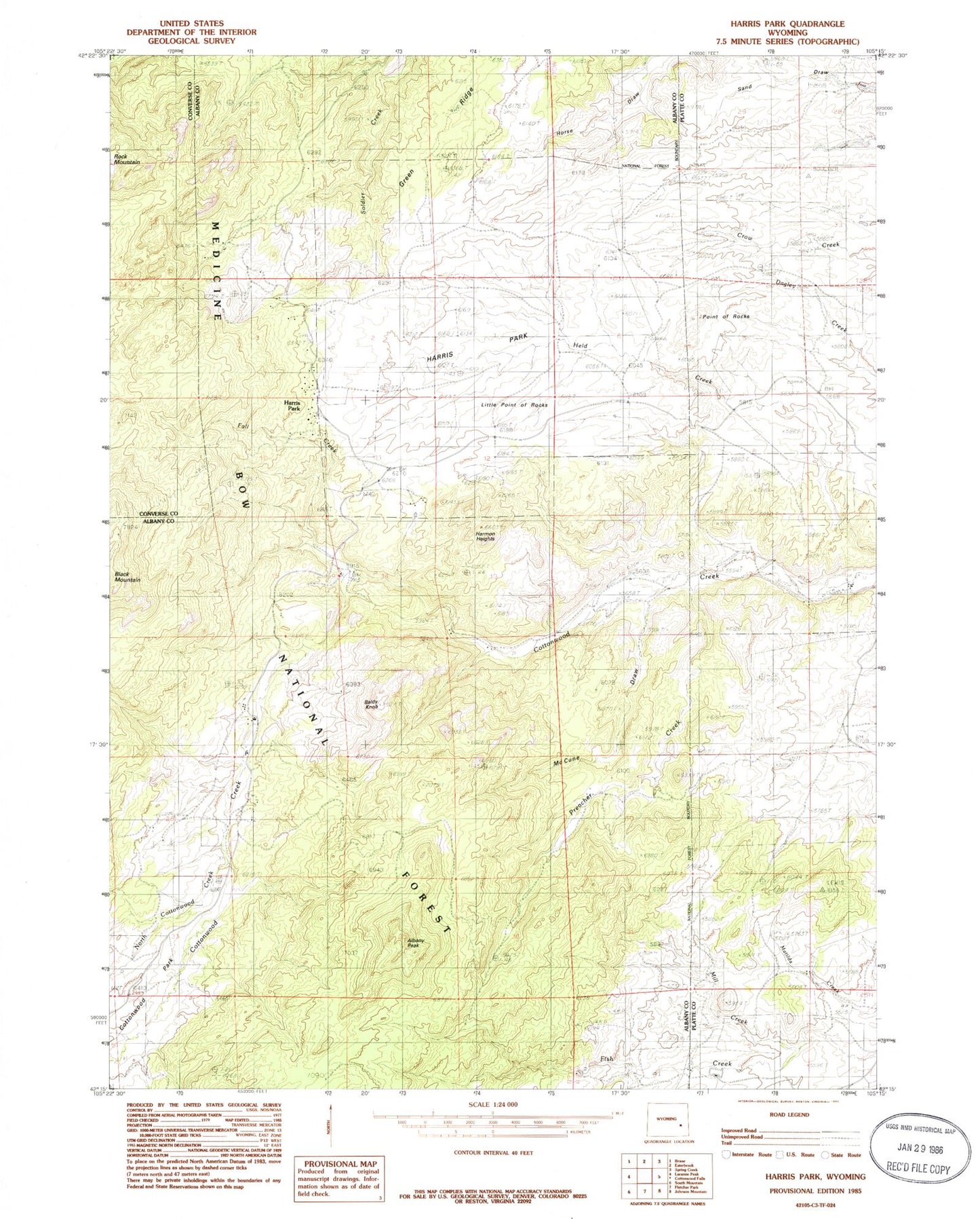
Classic USGS Harris Park Wyoming 7.5'x7.5' Topo Map
Couldn't load pickup availability
Historical USGS topographic quad map of Harris Park in the state of Wyoming. Map scale may vary for some years, but is generally around 1:24,000. Print size is approximately 24" x 27"
This quadrangle is in the following counties: Albany, Converse, Platte.
The map contains contour lines, roads, rivers, towns, and lakes. Printed on high-quality waterproof paper with UV fade-resistant inks, and shipped rolled.
Contains the following named places: Albany Peak, Ballard Ranch, Binford, Bromley School, Donaldson Ranch, Elliott Point, Fall Creek, Hagemeisters Twin Pine Ranch Airport, Hanks School, Harmon Heights, Harris Park, Laramie Peak Fire Zone Fire Department, Laramie Peak Scout Camp, Lewis Ranch, Mill Creek, North Cottonwood Creek, Point of Rocks, Preacher Creek, Sutherland Ranch, White Ranch