MyTopo
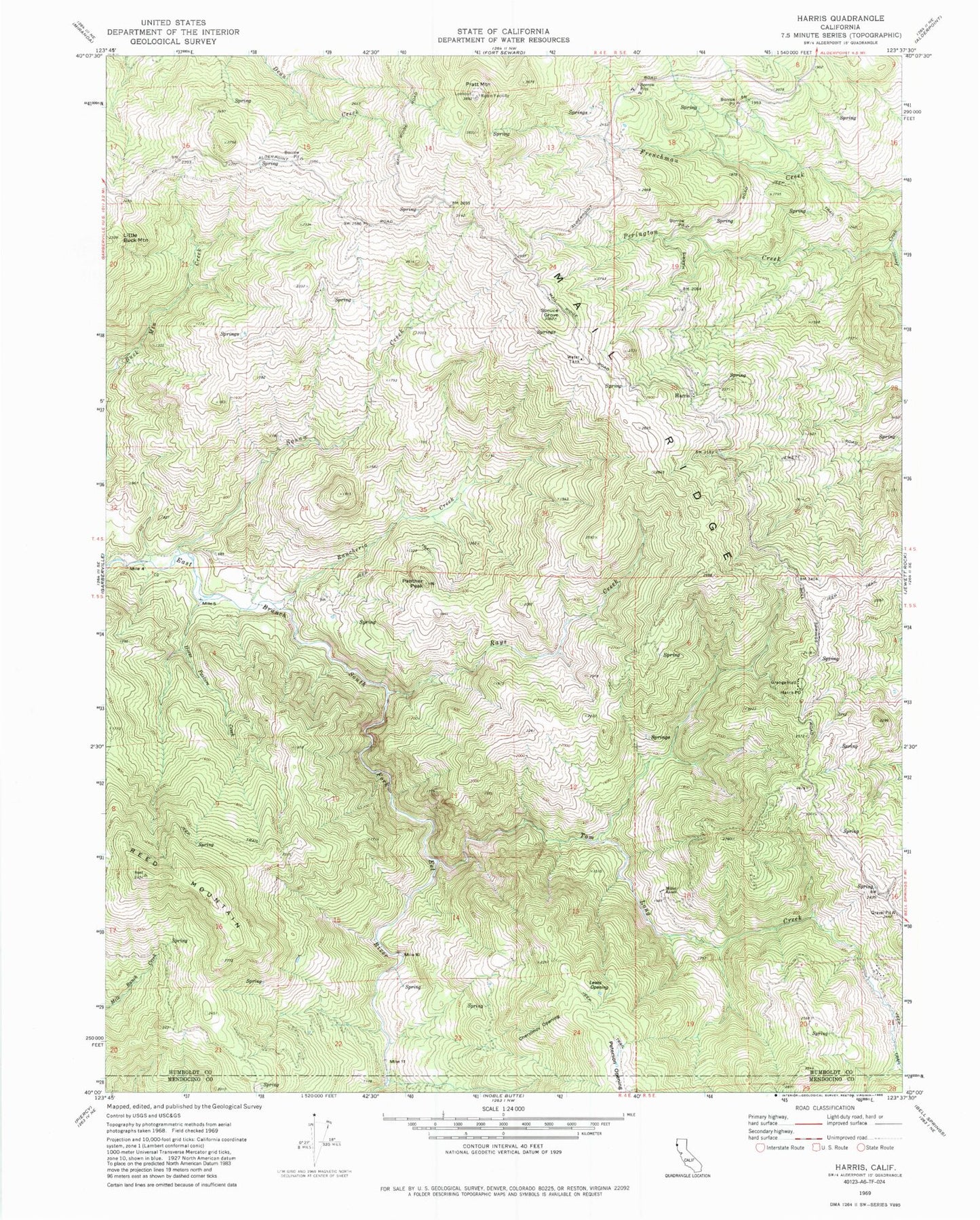
Classic USGS Harris California 7.5'x7.5' Topo Map
Couldn't load pickup availability
Historical USGS topographic quad map of Harris in the state of California. Map scale may vary for some years, but is generally around 1:24,000. Print size is approximately 24" x 27"
This quadrangle is in the following counties: Humboldt, Mendocino.
The map contains contour lines, roads, rivers, towns, and lakes. Printed on high-quality waterproof paper with UV fade-resistant inks, and shipped rolled.
Contains the following named places: Chervimov Opening, Drewry Pit, Harris, Harris Cemetery, Harris Post Office, Horse Pasture Creek, KBEY-FM (Garberville), KMUD-FM (Garberville), Lewis Opening, Little Buck Mountain, Mail Ridge, Miller Ranch, Panther Peak, Perington Creek, Peterson Opening, Pratt Mountain, Rancheria Creek, Rays Creek, Reed Mountain, Spruce Grove, Squaw Creek, Tom Long Creek