MyTopo
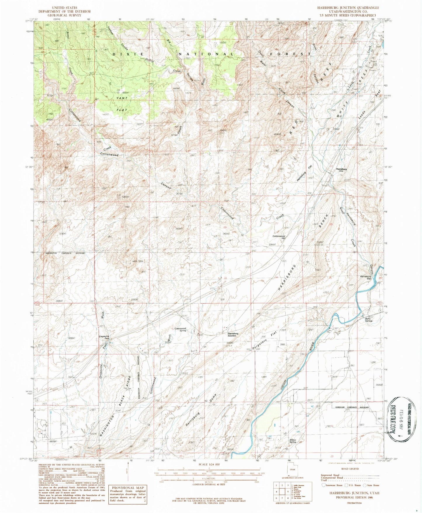
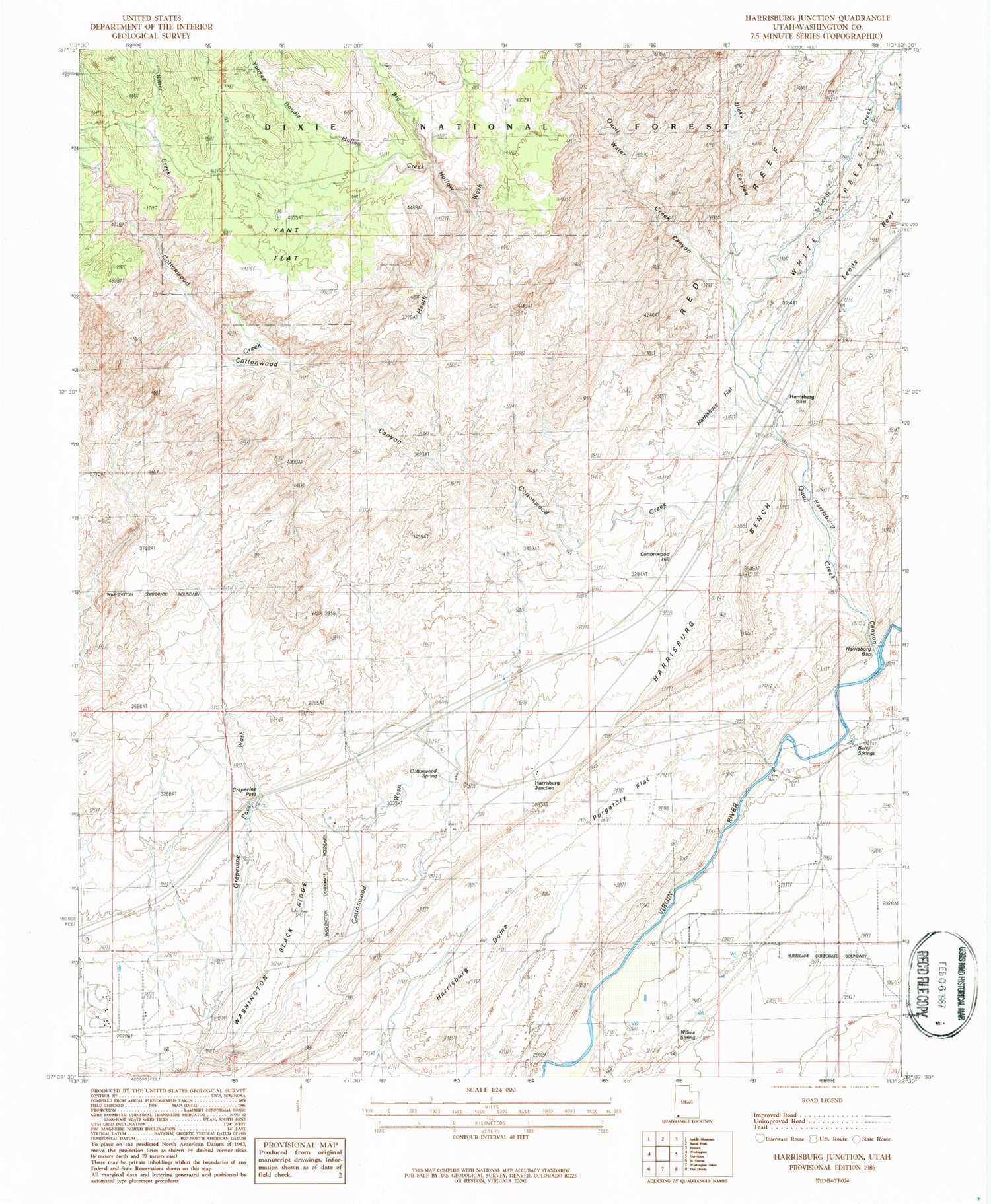
Classic USGS Harrisburg Junction Utah 7.5'x7.5' Topo Map
Couldn't load pickup availability
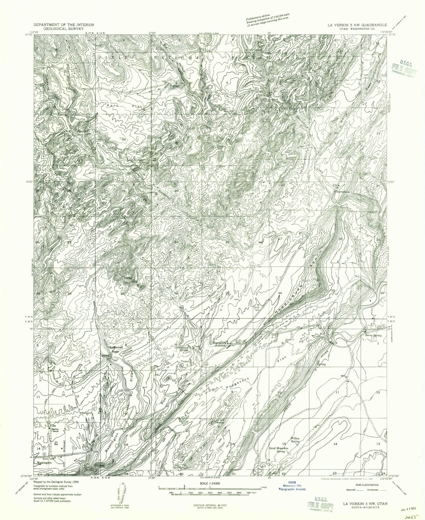
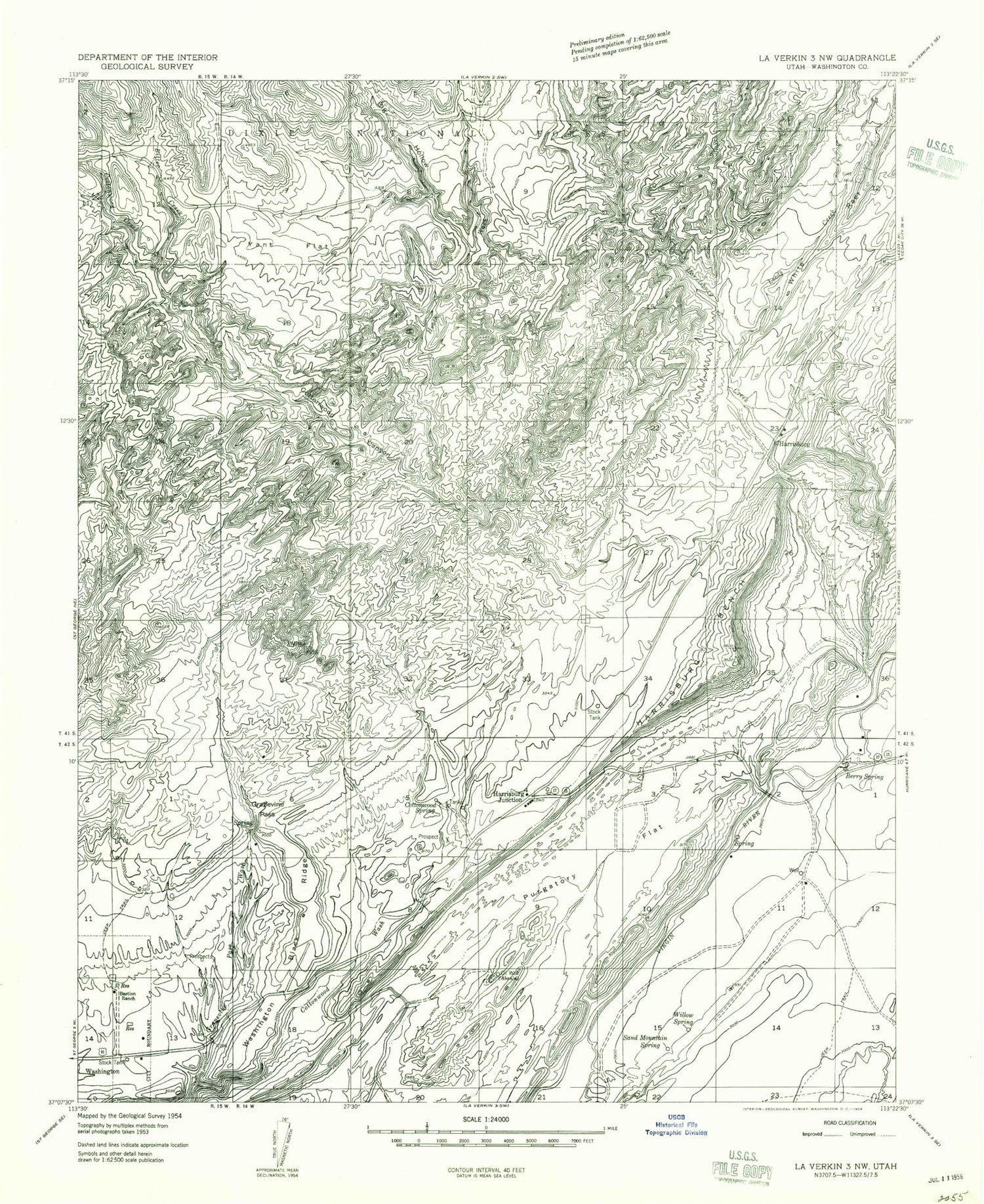
Historical USGS topographic quad map of Harrisburg Junction in the state of Utah. Typical map scale is 1:24,000, but may vary for certain years, if available. Print size: 24" x 27"
This quadrangle is in the following counties: Washington.
The map contains contour lines, roads, rivers, towns, and lakes. Printed on high-quality waterproof paper with UV fade-resistant inks, and shipped rolled.
Contains the following named places: Bastion Ranch, Berry Spring, Cobb Mine, Cottonwood Canyon, Cottonwood Spring, Cottonwood Wash, Grapevine Pass, Harrisburg Bench, Harrisburg Creek, Purgatory Flat, Sand Mountain Spring, Washington Black Ridge, Willow Spring, Yant Flat, Cottonwood Hill, Dicks Canyon, Harrisburg Canyon, Harrisburg Dome, Harrisburg Flat, Harrisburg Gap, Leeds Reef, Quail Creek State Park, Red Reef, Harrisburg, Harrisburg Junction, Big Hollow, Bitter Creek, Cottonwood Creek, Heath Wash, Leeds Creek, White Reef, Quail Creek, Water Canyon, Yankee Doodle Hollow Creek, Yankee Doodle Hollow, Red Cliffs Campground, KDXU-AM (Saint George), City of Washington, Quail Creek Reservoir, Washington County Sheriff's Office, Utah Highway Patrol Section 12 Hurricane Office, Cottonwood Canyon Wilderness, Cottonwood Forest Wilderness, Harrisburg Cemetery, Sand Hollow Reservoir