MyTopo
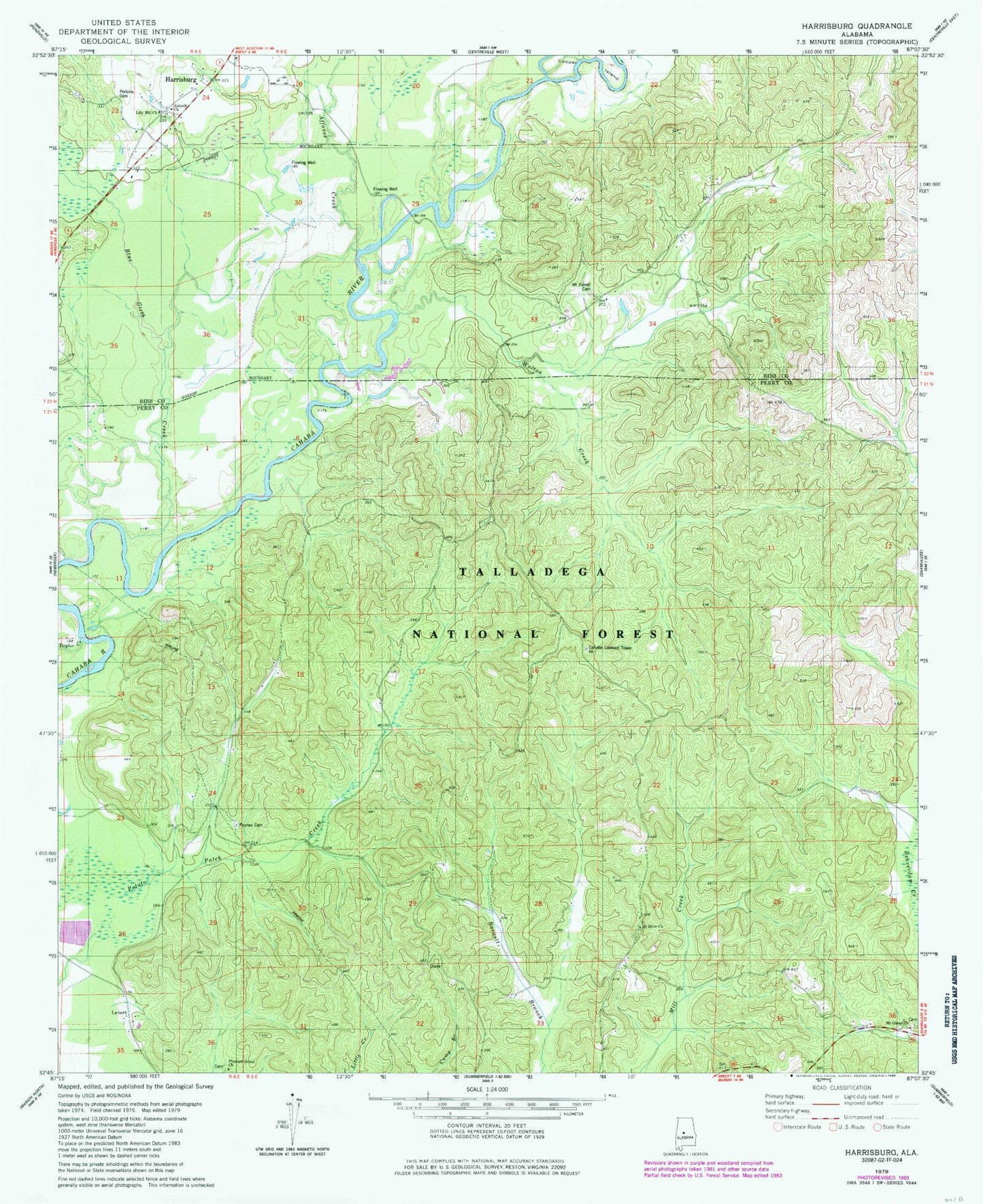
Classic USGS Harrisburg Alabama 7.5'x7.5' Topo Map
Couldn't load pickup availability
Historical USGS topographic quad map of Harrisburg in the state of Alabama. Typical map scale is 1:24,000, but may vary for certain years, if available. Print size: 24" x 27"
This quadrangle is in the following counties: Bibb, Perry.
The map contains contour lines, roads, rivers, towns, and lakes. Printed on high-quality waterproof paper with UV fade-resistant inks, and shipped rolled.
Contains the following named places: Abercrombie, Affonee Creek, Blue Girth Creek, Levert, Taylor Creek, Antioch African Methodist Episcopal Church, Mount Gilead Baptist Church, Lilly Hill Church, Mount Gilead Cemetery, Perkins Cemetery, Adler, Bonnet Creek, Cahaba Lookout Tower, Cahaba Picnic Area, Ebenezer (historical), Mount Gilead Church, Mount Olive Baptist Church, Paynes Cemetery, Pleasant Grove Church, Payne Chapel Methodist Church (historical), Mount Gilead Cemetery, Stewart Cemetery, Barnett School (historical), Levert School (historical), Mount Gilead School (historical)