MyTopo
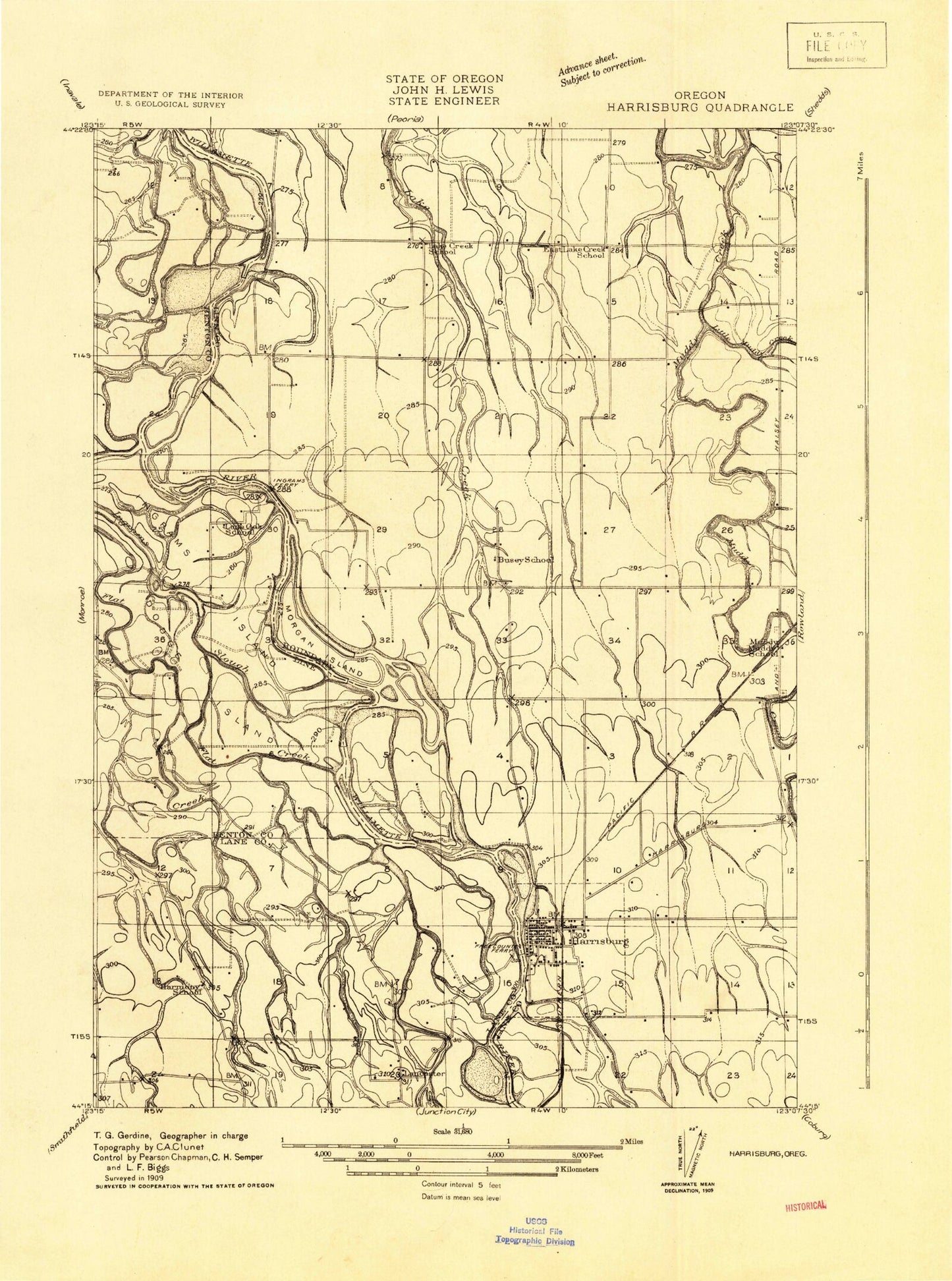
Classic USGS Harrisburg Oregon 7.5'x7.5' Topo Map
Couldn't load pickup availability
Historical USGS topographic quad map of Harrisburg in the state of Oregon. Map scale may vary for some years, but is generally around 1:24,000. Print size is approximately 24" x 27"
This quadrangle is in the following counties: Benton, Lane, Linn.
The map contains contour lines, roads, rivers, towns, and lakes. Printed on high-quality waterproof paper with UV fade-resistant inks, and shipped rolled.
Contains the following named places: Alford, Alford Cemetery, Alford Pond, American, Anderson County Park, Benton Lane Park, Blue Lake Slough, Cartney, Church of God Seventh Day, City of Harrisburg, Commons Airport, Diamond Hill Wastewater Treatment Plant, Dodge Island, Dodge Slough, Flat Creek, Halsey Pioneer Cemetery, Harken's Lake Landing Boat Access, Harrisburg, Harrisburg Christian Church, Harrisburg City Hall, Harrisburg City Library, Harrisburg Division, Harrisburg Elementary School, Harrisburg Fire and Rescue Station 41, Harrisburg High School, Harrisburg Justice Center Harrisburg Municipal Court, Harrisburg Lagoon Treatment Plant, Harrisburg Landing City Boat Ramp, Harrisburg Middle School, Harrisburg Post Office, Harrisburg Public Works, Harrisburg Substation, Independent Order of Odd Fellows Cemetery, Ingram Island, Ingram Slough, Irish Bend, Irish Bend County Park, Irish Bend County Park Boat Launch, Knox's Private Airstrip, Lake Creek School, Lancaster, Lancaster Post Office, Linn County Justice Court Harrisburg Justice Center, Linn County Sheriff's Office Harrisburg Substation, Little Muddy Creek, Liverpool Post Office, Masonic Cemetery, McCartney County Park, McCartney County Park Boat Ramp, Miller, Morgan Island, Muddy Station Post Office, Munson Airport, Nixon, Othello Post Office, Perkins Slough, Thurston Post Office, Timber Incorporated Spur, Washburne State Park, Waynes Air Service Airport, Workman Cemetery, Young Cemetery


