MyTopo
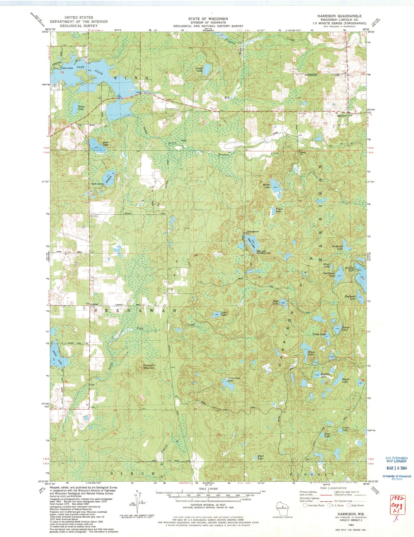
Classic USGS Harrison Wisconsin 7.5'x7.5' Topo Map
Couldn't load pickup availability
Historical USGS topographic quad map of Harrison in the state of Wisconsin. Typical map scale is 1:24,000, but may vary for certain years, if available. Print size: 24" x 27"
This quadrangle is in the following counties: Lincoln.
The map contains contour lines, roads, rivers, towns, and lakes. Printed on high-quality waterproof paper with UV fade-resistant inks, and shipped rolled.
Contains the following named places: Ament Lake, Bass Lake, Bear Lake, Beaver Lake, Big Pine Creek, Bruce Lake, Bughouse Lake, Camp Lake, Clover Belt School, Crane Foot Lake, Ebert Lake, Gerbick Lake, Ghost Lake, Green Meadow Creek, Harrison, Harrison Hills, High Lake, Jackknife Lake, Kordick Lake, Lost Lake, Miller Lake, North Branch Pine Creek, Otter Lake, Otter Lake Recreation Area, Perch Lake, Pickerel Creek, Pickerel Lake, Porcupine Mountain, Posey Lake, Roothouse Lake, Silver Lake, Sump Lake, Tahoe Lake, Town of Skanawan, Lloyd Hilgendorf G-9001 Dam, 2 Reservoir, Skanawan Townhall, Clover Belt School (historical)