MyTopo
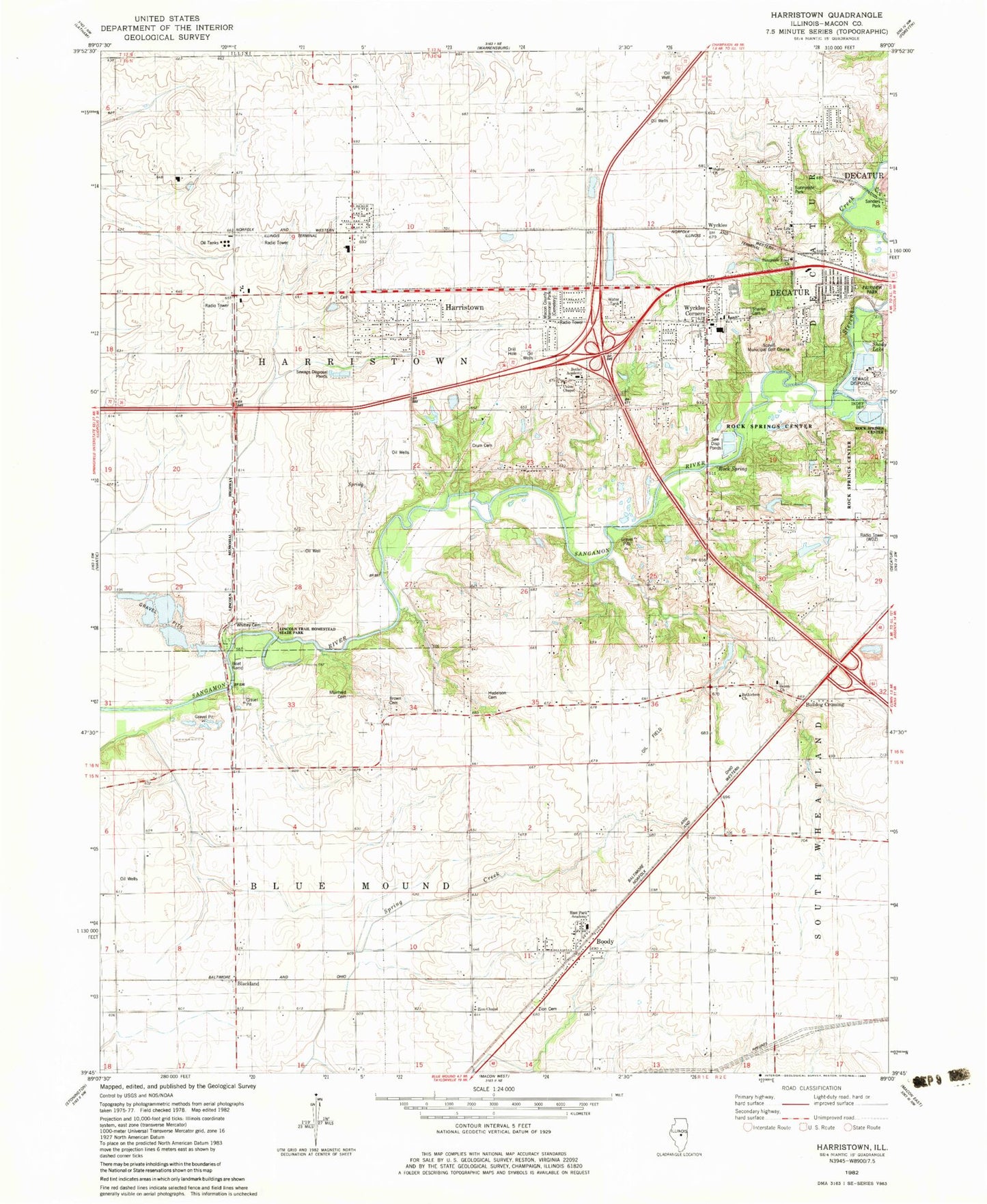
Classic USGS Harristown Illinois 7.5'x7.5' Topo Map
Couldn't load pickup availability
Historical USGS topographic quad map of Harristown in the state of Illinois. Map scale may vary for some years, but is generally around 1:24,000. Print size is approximately 24" x 27"
This quadrangle is in the following counties: Macon.
The map contains contour lines, roads, rivers, towns, and lakes. Printed on high-quality waterproof paper with UV fade-resistant inks, and shipped rolled.
Contains the following named places: Bethel Academy, Bethlehem Church, Blackland, Boody, Boody Census Designated Place, Boody Post Office, Brown Cemetery, Bulldog Crossing, Crum Cemetery, East Park Academy, Harristown, Harristown Cemetery, Harristown Christian Church, Harristown Elementary School, Harristown Fire Protection District, Harristown Post Office, Holiday Inn Heliport, Homestead Park, Hudelson Cemetery, Lincoln Trail Bridge, Lincoln Trail Homestead State Park, Macon County Memorial Park, Muirheid Cemetery, New Life Church, Rock Spring, Rock Springs Center, Salem Cemetery, Salem Church, Scovill Municipal Golf Course, Shady Lake, Sharon Cemetery, Sharon Church, Smiths Branch, Stevens Creek, Sunnyside Park, Sunnyside Road Church, Sunnyside School, Township of Blue Mound, Township of Harristown, Union Chapel, Union School, Village of Harristown, WDZ-AM (Decatur), Westfield School, Whitley Cemetery, Wyckles, Wyckles Corners, Zion Cemetery, Zion Chapel, ZIP Codes: 62514, 62522, 62537


