MyTopo
Classic USGS Hart Peak California 7.5'x7.5' Topo Map
Regular price
$16.95
Regular price
Sale price
$16.95
Unit price
per
Couldn't load pickup availability
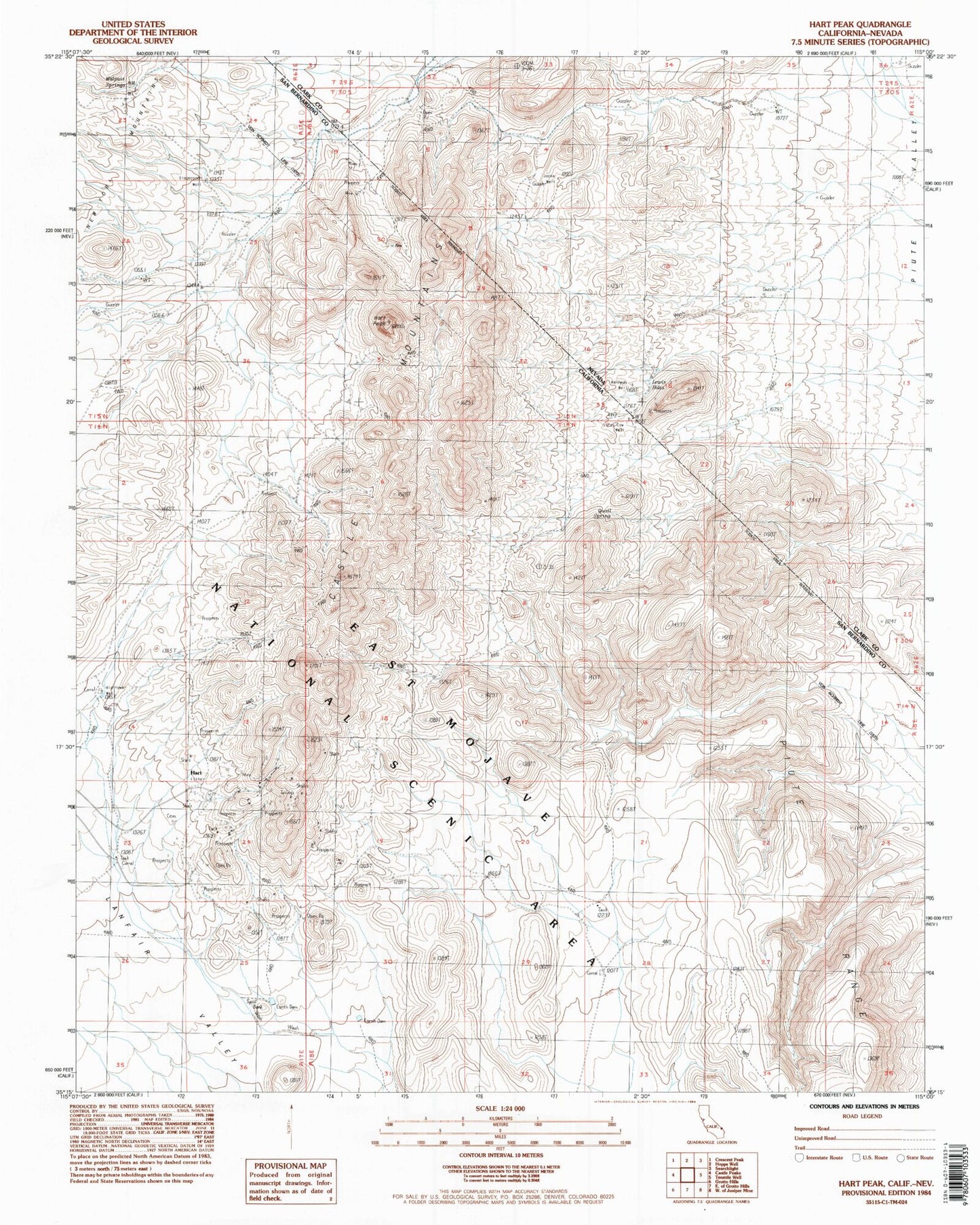
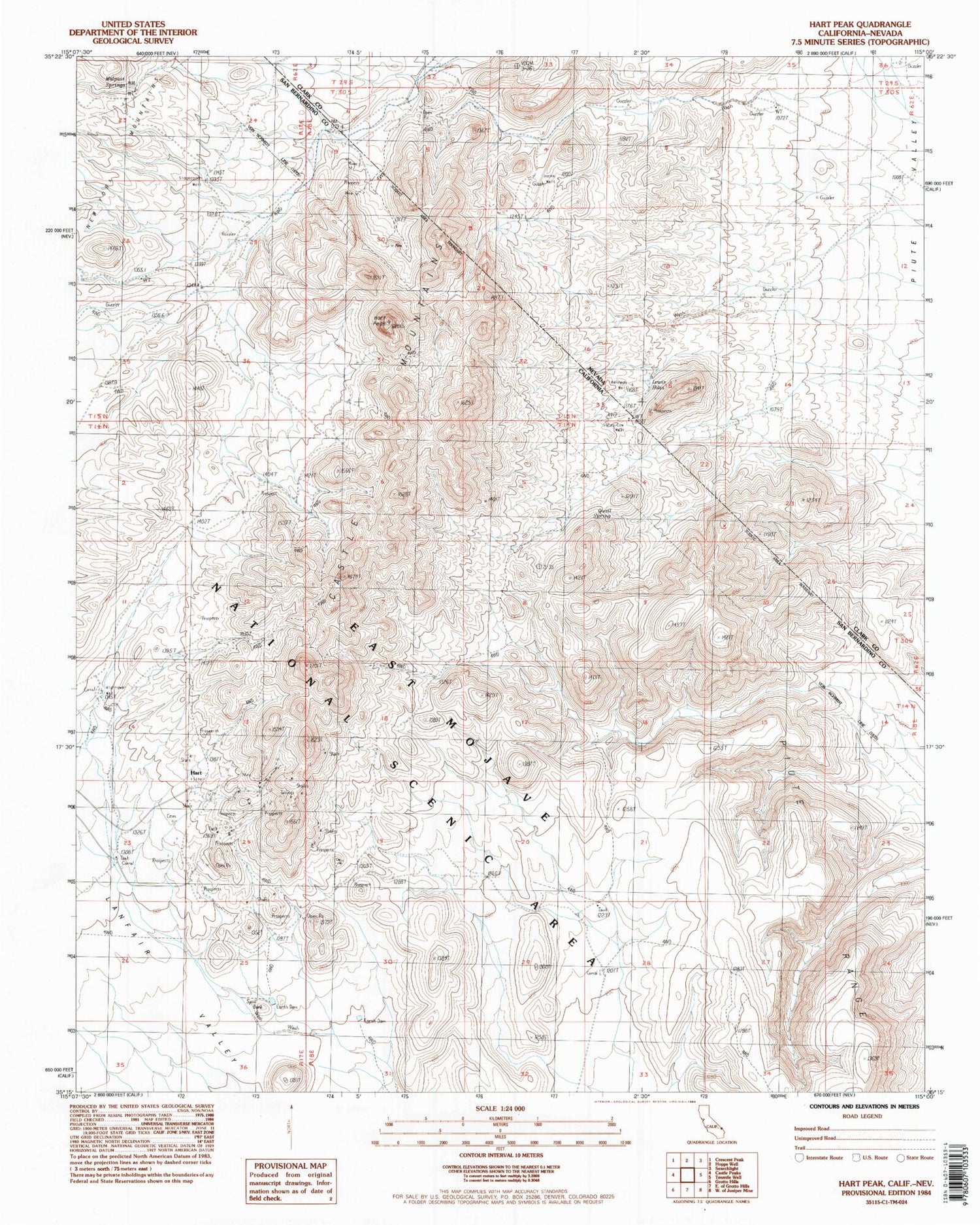
Historical USGS topographic quad map of Hart Peak in the states of California, Nevada. Map scale may vary for some years, but is generally around 1:24,000. Print size is approximately 24" x 27"
This quadrangle is in the following counties: Clark, San Bernardino.
The map contains contour lines, roads, rivers, towns, and lakes. Printed on high-quality waterproof paper with UV fade-resistant inks, and shipped rolled.
Contains the following named places: C-1 Clay Mine, Castle Mountains, Hart, Hart Peak, Hightower Well, Jacks Well, Juan, Kennedy Well, Lewis Holes, Quail Spring, Stagecoach Spring, Stray Cow Well