MyTopo
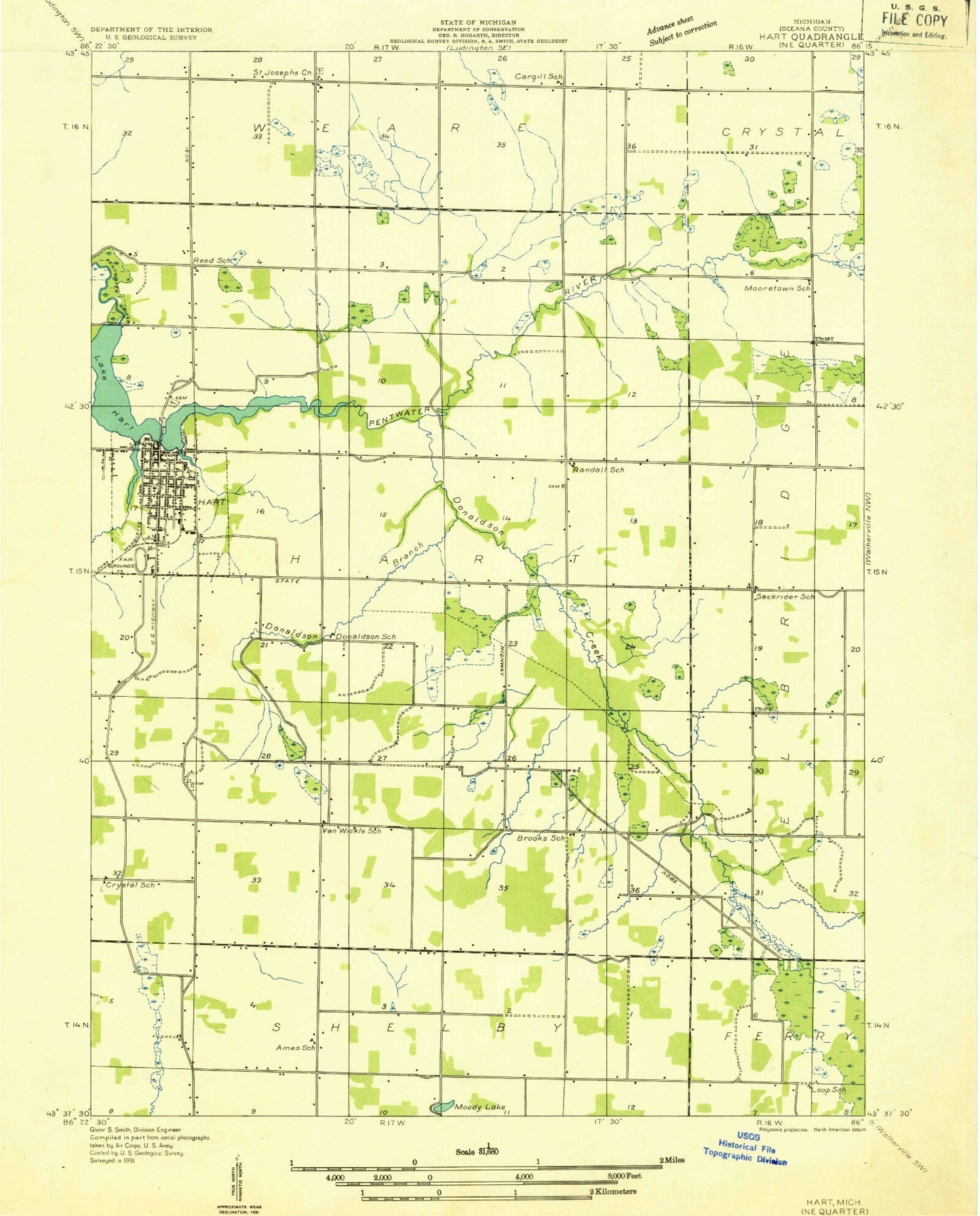
Classic USGS Hart Michigan 7.5'x7.5' Topo Map
Couldn't load pickup availability
Historical USGS topographic quad map of Hart in the state of Michigan. Map scale may vary for some years, but is generally around 1:24,000. Print size is approximately 24" x 27"
This quadrangle is in the following counties: Oceana.
The map contains contour lines, roads, rivers, towns, and lakes. Printed on high-quality waterproof paper with UV fade-resistant inks, and shipped rolled.
Contains the following named places: Brethren Church, Brooks School, Cargill School, City of Hart, Congregational United Church, Crystal School, Donaldson Creek, Donaldson School, Faith Christian Fellowship Church, Gales Pond, Genereau Cemetery, Gurney Park, Halls Corners, Hart, Hart Area Fire Department, Hart City Hall, Hart Family Medical Associates Clinic, Hart High School, Hart Lake, Hart Lookout Tower, Hart Middle School, Hart Police Department, Hart Post Office, Hart Public Library, Hart Station, Hart Township Hall, Hart United Methodist Church, Hart Upper Elementary School, Hart Wesleyan Church, Hodges Creek, Huftile Creek, Jehovah's Witnesses, Knox Creek, Lever Cemetery, Life Emergency Medical Services Hart Station, Makins Creek, Michigan State Police District 6 Hart Post 62, Moody Lake, Mount Calvary Cemetery, New Hope Community Church, North Hart Cemetery, Oceana Center Cemetery, Oceana Country Club, Oceana County Airport, Oceana County Courthouse, Oceana County Fairgrounds, Oceana County Medical Care, Oceana County Sheriff's Office, Oceana Intermediate School, Of Jesus Christ Church, Our Savior Lutheran Church, Randall Cemetery, Randall School, Reed School, Reunions Creek, Russell Creek, Saint Gregory's Parish, Saint Josephs Church, South Branch Pentwater River, South Hart Cemetery, Township of Hart, Van Wickle School, Waldron Drain, Weare, Weare Post Office, ZIP Code: 49420


