MyTopo
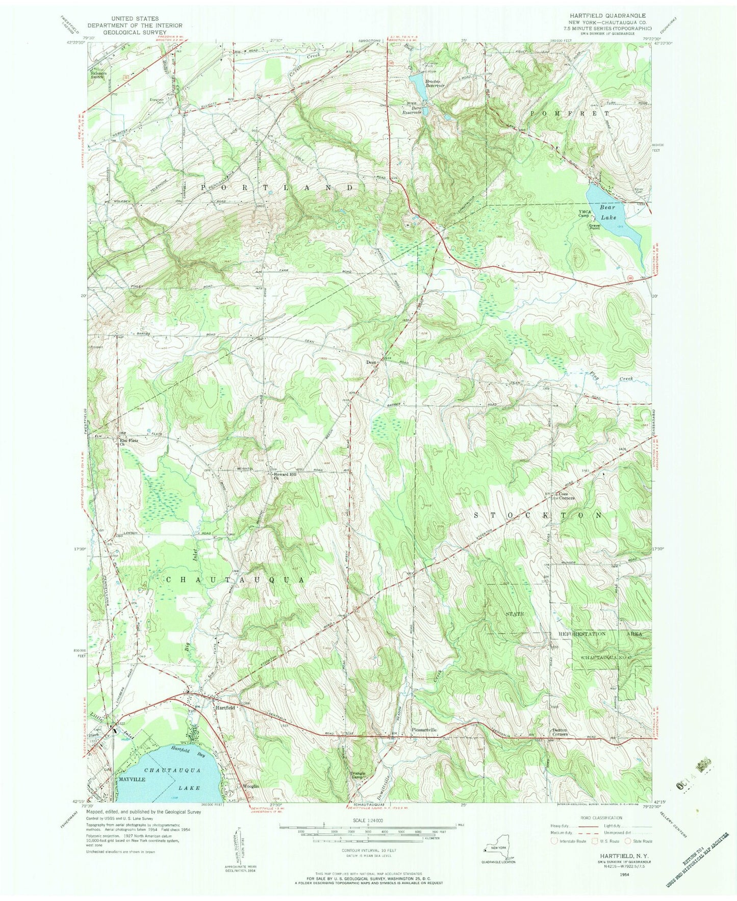
Classic USGS Hartfield New York 7.5'x7.5' Topo Map
Couldn't load pickup availability
Historical USGS topographic quad map of Hartfield in the state of New York. Map scale may vary for some years, but is generally around 1:24,000. Print size is approximately 24" x 27"
This quadrangle is in the following counties: Chautauqua.
The map contains contour lines, roads, rivers, towns, and lakes. Printed on high-quality waterproof paper with UV fade-resistant inks, and shipped rolled.
Contains the following named places: Bear Lake, Big Inlet, Black Creek, Brocton Reservoir, Burdick Road Amish School, Burr Reservoir, Chautauqua County, Chautauqua Lake Airpark, Christian Missionary Alliance Church, Coes Corners, Dart Airport, Dean, Denton Corners, Elm Flats Church, Evergreen Cemetery, Gravel Point, Hartfield, Hartfield Bay, Howard Hill Church, Kelley Cemetery, Little Inlet, Pleasant View School, Pleasantville, Pleasantville Cemetery, Saint Mark Lutheran Church, Skinners Switch, State Reforestation Area, Town of Portland, Triangle Camp, WCQA-FM (Fredonia), Wooglin, ZIP Codes: 14728, 14769, 14784