MyTopo
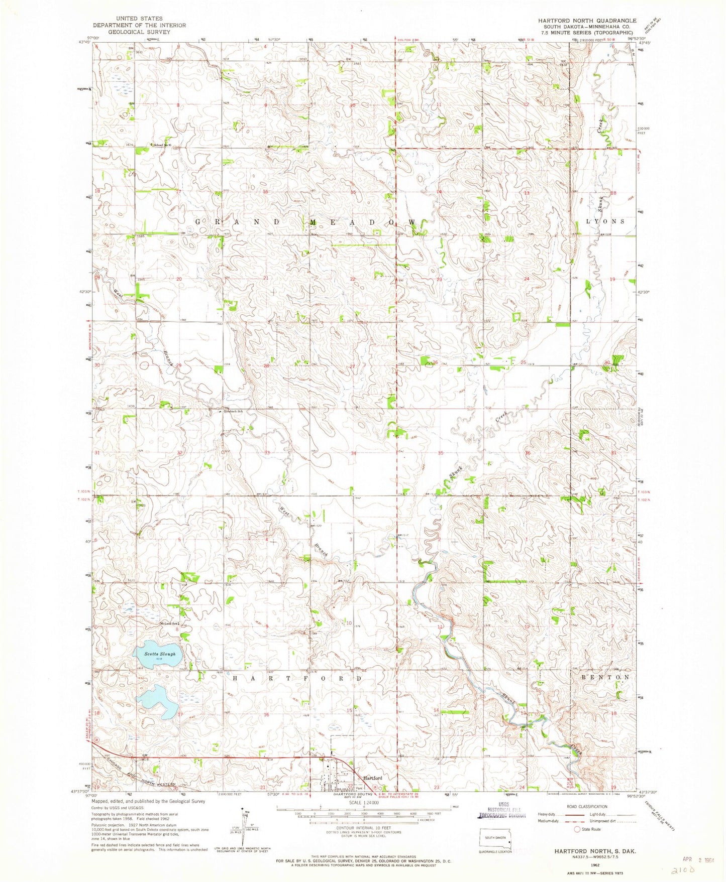
Classic USGS Hartford North South Dakota 7.5'x7.5' Topo Map
Couldn't load pickup availability
Historical USGS topographic quad map of Hartford North in the state of South Dakota. Map scale may vary for some years, but is generally around 1:24,000. Print size is approximately 24" x 27"
This quadrangle is in the following counties: Minnehaha.
The map contains contour lines, roads, rivers, towns, and lakes. Printed on high-quality waterproof paper with UV fade-resistant inks, and shipped rolled.
Contains the following named places: Colton Creek, Ginsbach School, Grand Meadow, Hartford Post Office, Lyons, McLeod School, School Number 91, Scotts Slough, Township of Grand Meadow, Township of Hartford, Tri-Valley Elementary School, Tri-Valley High School, Tri-Valley Junior High School, West Branch Skunk Creek