MyTopo
Classic USGS Hartford West Wisconsin 7.5'x7.5' Topo Map
Couldn't load pickup availability
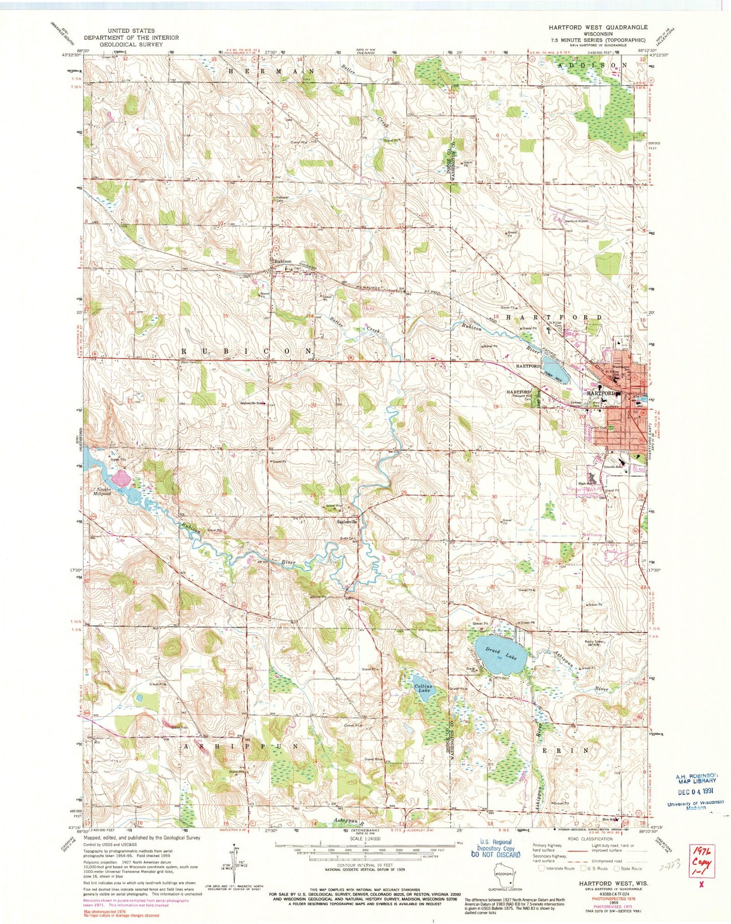
Historical USGS topographic quad map of Hartford West in the state of Wisconsin. Map scale may vary for some years, but is generally around 1:24,000. Print size is approximately 24" x 27"
This quadrangle is in the following counties: Dodge, Washington.
The map contains contour lines, roads, rivers, towns, and lakes. Printed on high-quality waterproof paper with UV fade-resistant inks, and shipped rolled.
Contains the following named places: Bridge 900, Butler Creek, Central Middle School, City of Hartford, Collins Lake, Druid Lake, English Evangelical Lutheran Church of the Redeemer, Erin Elementary School, First Baptist Church, First Congregational Church of Hartford, First Evangelical United Brethren Church, First Methodist Episcopal Church, Hallowell Farm Cemetery, Hartford, Hartford 1855C14 Dam, Hartford Animal Clinic, Hartford City Hall, Hartford Fire and Rescue Department, Hartford High School, Hartford Municipal Airport, Hartford Police Department, Hartford Post Office, Hartford Public Library, Hartford Sewage Disposal Plant, Hartford Wastewater Treatment Plant, Lincoln Elementary School, Peace Evangelical Lutheran Church, Peace Lutheran School, Pleasant Hill Cemetery, Redeemer Lutheran Church, Rubicon, Rubicon Census Designated Place, Rubicon Post Office, Saint Johns United Church of Christ, Saint Kilian Cemetery, Saint Kilian Roman Catholic Church, Saint Kilian School, Saylesville, Saylesville Consolidated School, Sterman Farms, Town of Rubicon, Uebele Farms, Union Cemetery, Washington School, West Park, WTKM-AM (Hartford), WTKM-FM (Hartford), Yoke Crest Farms, ZIP Code: 53078


