MyTopo
Classic USGS Hartford Michigan 7.5'x7.5' Topo Map
Couldn't load pickup availability
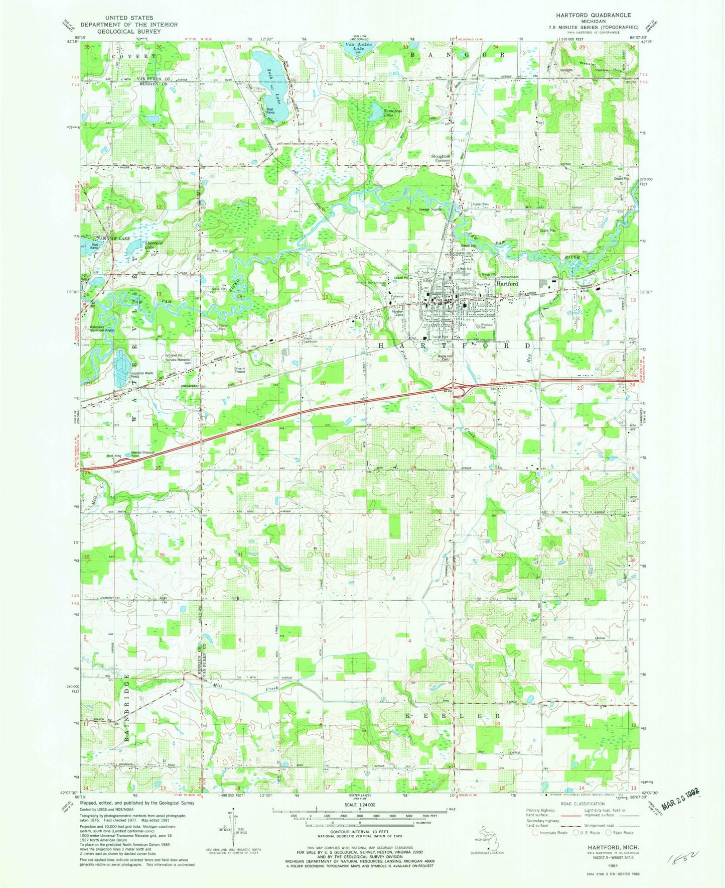
Historical USGS topographic quad map of Hartford in the state of Michigan. Map scale may vary for some years, but is generally around 1:24,000. Print size is approximately 24" x 27"
This quadrangle is in the following counties: Berrien, Van Buren.
The map contains contour lines, roads, rivers, towns, and lakes. Printed on high-quality waterproof paper with UV fade-resistant inks, and shipped rolled.
Contains the following named places: Abbott School, Brague School, Brown School, Burg School, Calvary Pentecostal Church, City of Hartford, Ely Park, Fairview Memorial Cemetery, Faith of the Apostle's Church, Federated Church, First Hispanic Midway Baptist Church, Hartford, Hartford Church of God, Hartford City Hall, Hartford Fire Department, Hartford High School, Hartford Medical Center, Hartford Middle School, Hartford Police Department, Hartford Post Office, Hartford Public Library, Hartford Speedway Park, Hartford Station, Hartford United Methodist Church, Hog Creek, Hope Church, Immaculate Conception Church, Irish School, Johnson School, Lakeland Hospital Watervliet, Living Word Church of God, Maple Hill Cemetery, Maple Hill Village Mobile Home Park, Miles School, Mud Lake, New Life Harvest Ministries, North Bell School, Paw Paw River Campgrounds, Pine Creek, Pioneer Cemetery, Red Arrow Elementary School, River of Life Church, Rush Lake, Rush Lake Catholic Cemetery, Rush Lake Mobile Home Park, Rush Lake School, Sassafras Lake, Seventh-Day Adventist School, Sherwood Lake, South Bell School, Stickney School, Stoughton Corners, Sunset Drive-In Theatre, Sunset Park, Thomas School, Township of Hartford, Township of Watervliet, Watervliet Rest Area, Watervliet Seventh Day Adventist Church, Webster Hills, Wilder School, Woodside School, ZIP Codes: 49057, 49098


